
Learn LiDAR
LiDAR Applications Across 12 Surveying, Forestry, Utility, and Mapping Workflows
12 Real LiDAR Workflows, from Terrain Models to Deliverables
No credit card required • 50 hectares included
LiDAR applications start after capture, when teams turn point clouds into terrain models, contours, vegetation classes, utility vectors, and CAD or GIS-ready deliverables. This guide shows how surveying, forestry, utility, construction, mining, coastal, and infrastructure teams use LiDAR outputs in real production workflows.
Why LiDAR Processing Matters
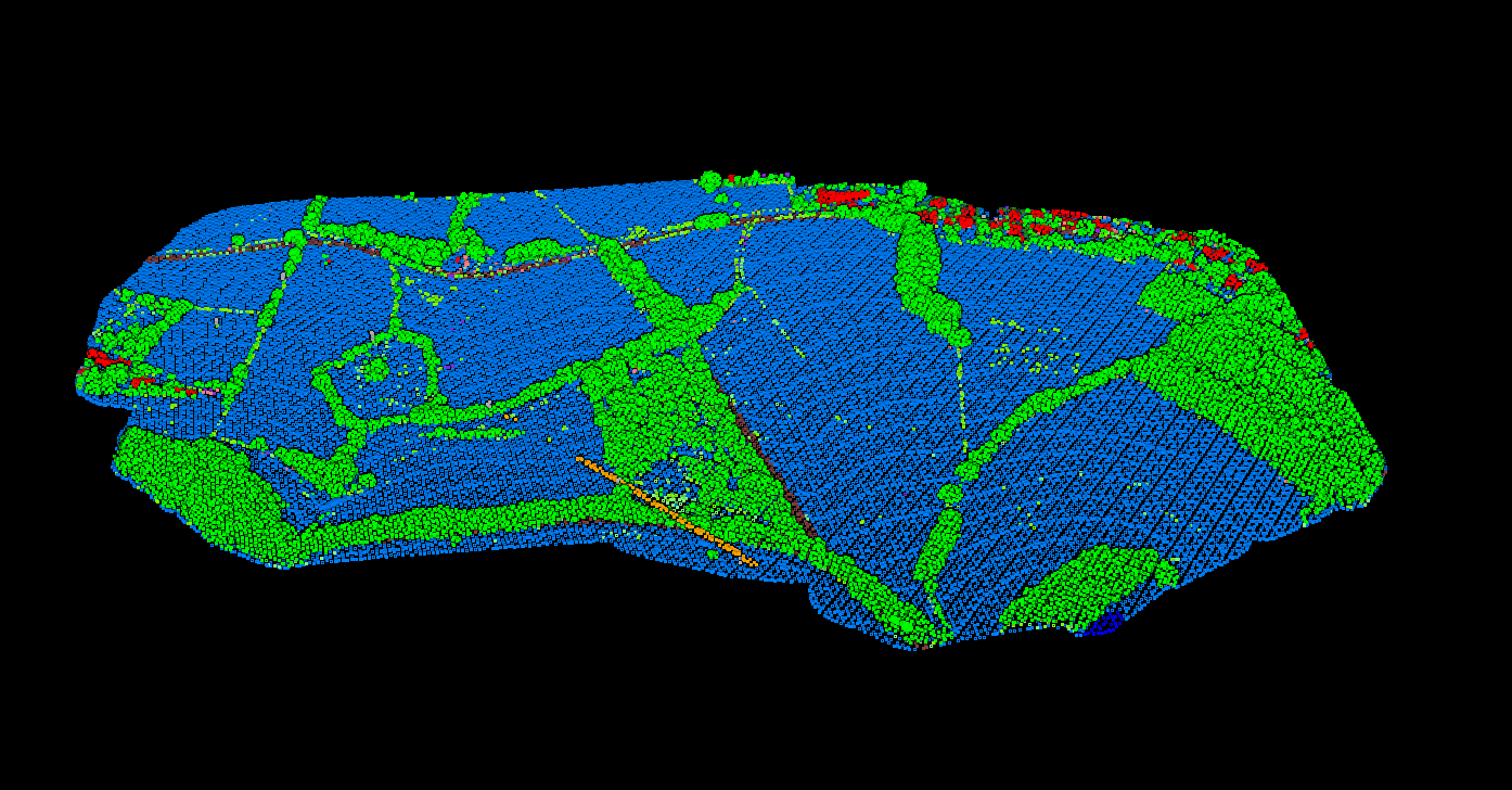
Traditional LiDAR processing requires expensive desktop software and hours of manual parameter tuning. Every industry has different needs—surveyors need contours, foresters need canopy metrics, utilities need vegetation clearance data.
Lidarvisor automates the technical complexity—upload your point cloud and get classified outputs, terrain models, and CAD-ready deliverables in minutes. No software to install, no parameters to tune.
Explore Industry Applications
Click any industry below for detailed workflows, use cases, and processing techniques
Surveying & Land Mapping
Create accurate topographic maps, contour lines, and CAD deliverables. LiDAR captures thousands of points per second for detailed terrain models.
Construction & Site Planning
Site analysis, earthwork calculations, and grading plans. Accurate DTMs help engineers plan cut/fill volumes and optimize site development.
Forestry & Forest Inventory
Measure tree heights, canopy structure, and timber volumes. Multi-return LiDAR penetrates canopy for accurate CHM generation.
Utilities & Vegetation Management
Monitor vegetation encroachment near power lines. Automated classification identifies trees, wires, and poles for proactive management.
Mining & Volume Calculations
Stockpile measurement, pit monitoring, and terrain analysis. Regular drone surveys track material movement for inventory management.
Solar & Renewable Energy
Assess site suitability for solar installations. Slope maps and terrain models help plan panel placement and grading requirements.
Processing Point Clouds for Any Application?
Upload your LAS/LAZ file to Lidarvisor and get classified outputs in minutes. Works with drone, airborne, and mobile LiDAR data
Try Free
Hydrology & Flood Modeling
LiDAR-derived DTMs for flood modeling, watershed analysis, and drainage planning. Accurate elevation data improves flood risk predictions.
Coastal & Environmental Monitoring
Track shoreline erosion, map habitats, and assess environmental impacts. Repeat surveys quantify terrain changes over time.
Transportation & Infrastructure
Inspect bridges, plan road corridors, and assess infrastructure conditions. Point cloud data captures structural details for maintenance decisions.
Agriculture & Drainage
Plan tile drainage systems, analyze field topography, and optimize water management. Accurate terrain data prevents waterlogging.
Real Estate & Property Development
Site analysis, property boundary mapping, and feasibility studies. Terrain data helps assess buildability before purchase decisions.
Archaeology & Heritage
Reveal hidden features beneath vegetation. Hillshade visualization exposes ancient structures and earthworks invisible to the eye.
Deep Dive: Industry Resources
What You Get with Lidarvisor
Whatever your application, Lidarvisor handles the technical complexity of point cloud processing
Automatic Classification
Ground, vegetation, buildings, and more—automatically sorted
Terrain Models
DTM, DSM, and hillshade outputs ready for analysis
CAD-Ready Deliverables
Contours and DXF export for immediate use
Ready to Process Your LiDAR Data?
No software to install. No parameters to configure. Upload your LAS/LAZ file and start processing in minutes.
Create free account50 hectares free. No credit card. No software to install.