
Learn LiDAR
LiDAR DTM for Flood Modeling
Accurate Terrain Data for Flood Risk Assessment
No credit card required • 50 hectares included
Flood modeling requires precise terrain data. LiDAR-derived DTMs have become the gold standard for hydrological analysis, capturing the exact elevation gradients that determine water flow.
Why Flood Models Need DTMs
A DTM represents the bare earth surface with vegetation and buildings removed. This clean terrain surface is essential for flood modeling because water flows downhill
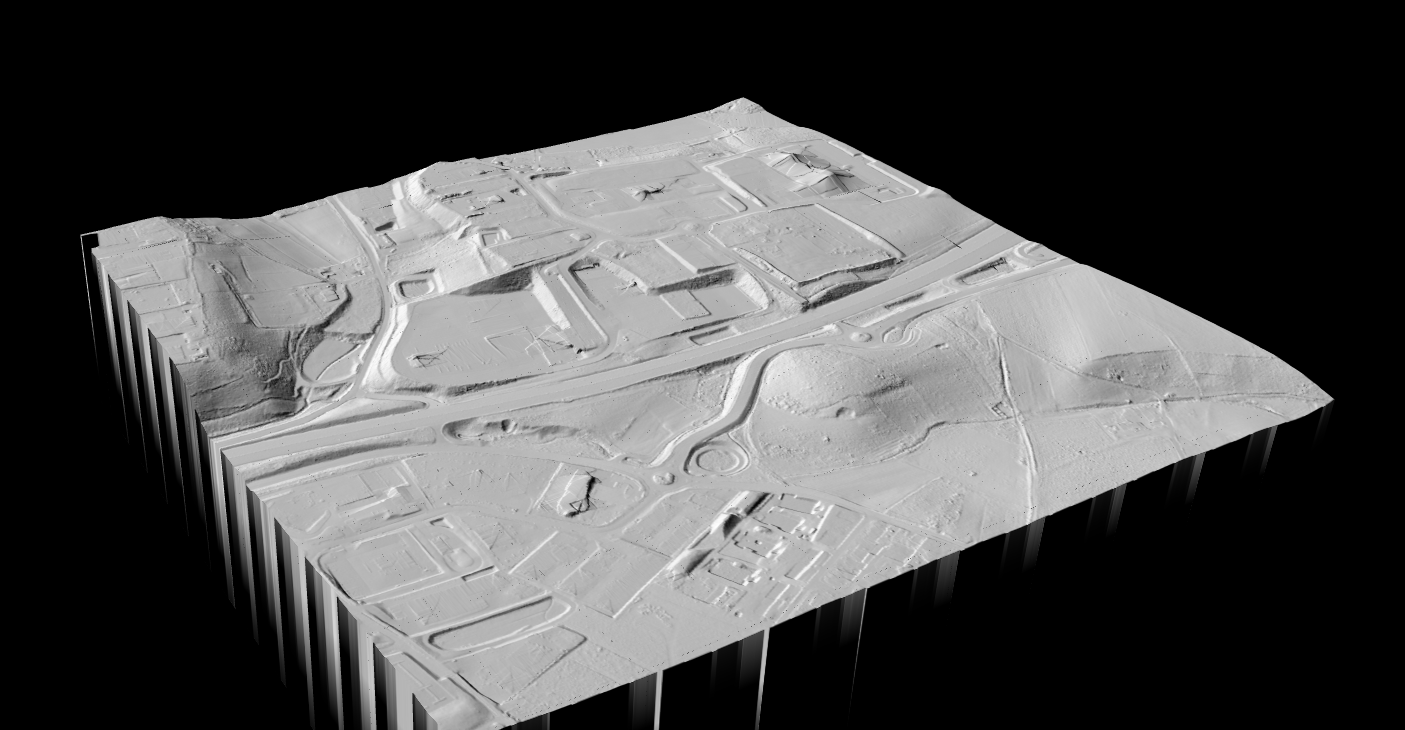
Flow Direction
DTMs capture exact elevation gradients that determine flow direction and velocity
Terrain Features
Ditches, levees, and berms significantly affect flood routing
Inundation Depth
Accurate ground elevation needed to calculate water depth
Flood Extent
DTM elevations define where floodwater will and won’t reach
Why LiDAR-Derived DTMs Outperform
- Centimeter-level vertical accuracy — critical for modeling shallow flooding where 10-20cm differences matter
- High point density — captures fine terrain features like drainage channels and curbs
- Vegetation penetration — pulses penetrate canopy to capture true ground surface
- Consistent coverage — uniform data across hard-to-access floodplains
Urban Flood Modeling
Urban environments require high resolution DTMs (1m or finer) because:
• Buildings, walls, and fences redirect flow
• Roadways act as preferential flow paths
• Curbs and gutters create micro-drainage patterns
• Storm drains need accurate inlet elevations
Riverine Flood Modeling
Riverine applications can use moderate resolution (2-5m) but require:
• Accurate channel bathymetry
• Floodplain topography
• Levee and embankment elevations
• Bridge and culvert hydraulics
Create a FREE account now and start processing your point cloud
Get 5 GB of storage space and classify up to 50 hectares for free.
Create free account50 hectares free. No credit card. No software to install.