
Industries
LiDAR for Utility Vegetation Management
Precise Risk Assessment for Power Line Safety
No credit card required • 50 hectares included
Vegetation causes more power outages than any other factor. When tree branches contact power lines, the result ranges from brief service interruptions to catastrophic wildfires. LiDAR is transforming how utilities prioritize their multi-billion dollar vegetation management investment.
The Traditional Approach
Historically, utilities relied on helicopter patrols and ground inspections to identify vegetation risks. Crews would fly or walk the lines, visually assessing which trees needed trimming.
This approach is slow, expensive, and inherently subjective. Different inspectors flag different trees.
Exact clearance distances are impossible to judge visually. And scheduling crews based on inconsistent data leads to either over-trimming (wasting money) or under-trimming (accepting risk).
The LiDAR Advantage
LiDAR surveys capture the precise 3D position of every wire, pole, crossarm, and nearby tree. Software automatically measures exact distances in centimeters
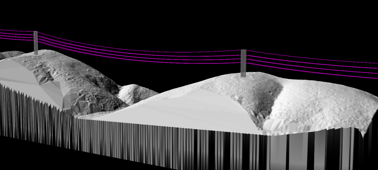
Precision Measurement
Exact distance measurements between conductors and vegetation, not visual estimates.
Risk Detection
Identify trees tall enough to strike the line if they fall, plus regulatory clearance violations.
Prioritized Field Review
Utilities can sort encroachment findings by severity, then export the locations and measurements crews need for review and trimming decisions.
Beyond Vegetation
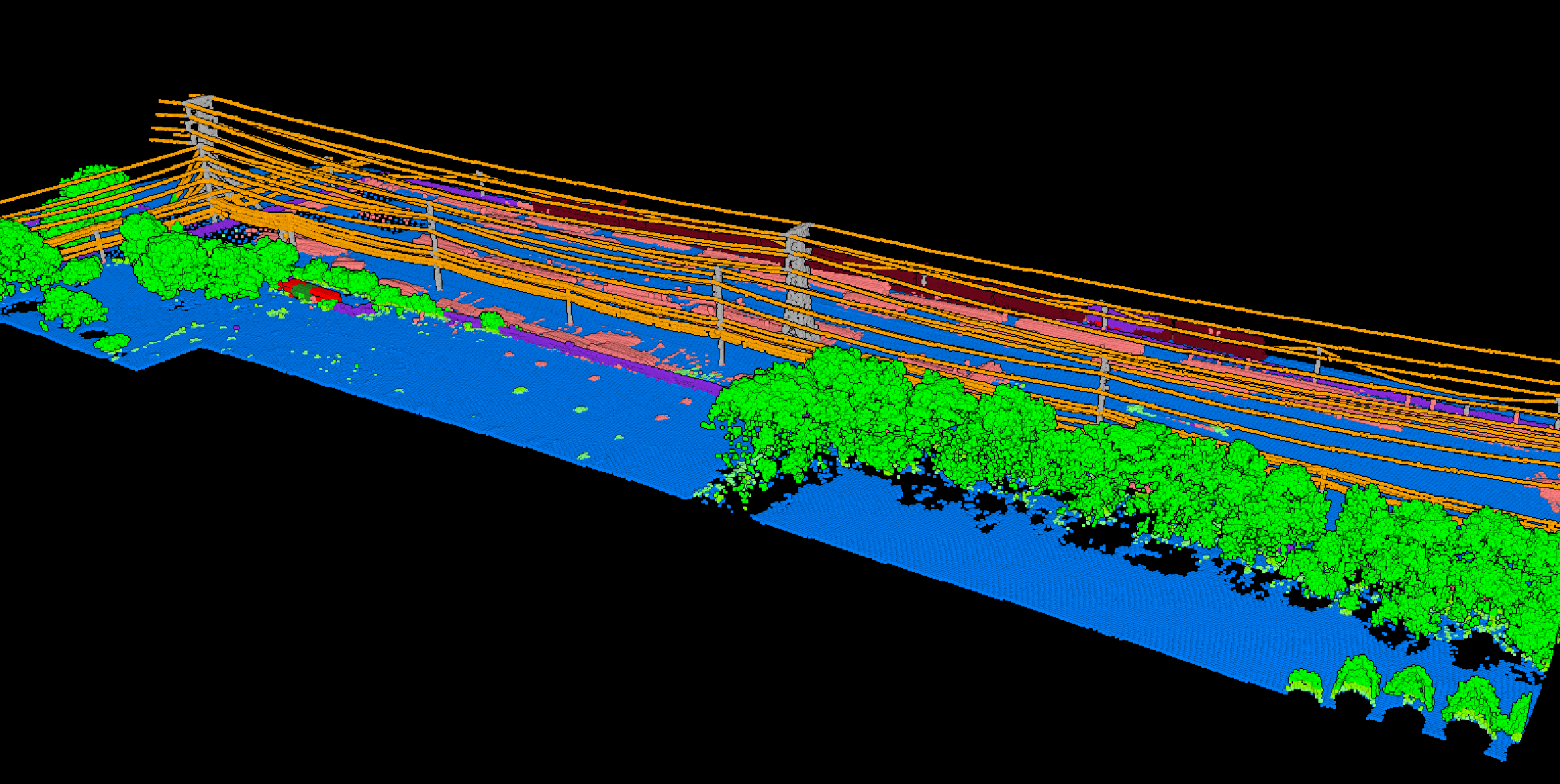
The same LiDAR data supports other inspection tasks. Analysts can measure conductor sag.
They can check pole lean. They can verify ground clearances.
A single aerial survey supports multiple inspection workflows, multiplying the return on investment.
Vegetation Analysis with LidarVisor
LidarVisor automatically detects power line infrastructure, classifies vegetation, and calculates wire-to-tree clearances. Generate risk reports that prioritize work by encroachment severity and fall-in potential, focusing your vegetation management budget where it matters most.
What Utilities Need Before Crews Roll
Utilities usually do not need another platform promising to replace dispatch, OMS, or compliance systems. They need defensible LiDAR evidence first: which spans have the tightest clearances, where vegetation can fall into the line, and which corridors deserve field verification before trimming work is scheduled.
Where LidarVisor Fits
LidarVisor helps upstream of field execution by classifying vegetation, measuring wire clearances, and exporting corridor-ready outputs for GIS, CAD, and utility review workflows. Crews and utility systems still make the final dispatch and compliance decisions, but the LiDAR review step becomes faster and more consistent.
Related Industry Applications
Infrastructure
• Bridge & Road Inspection
• Powerline Extraction
• Pole Extraction
• Solar Farm Site Assessment
• Construction
• Real Estate & Development
Natural Resources
• Forest Inventory
• Forest Guide
• Vegetation Management
Geospatial
• Surveying
• Terrain Mapping
• Archaeology
Ready to Improve Vegetation Management?
Upload your utility corridor LiDAR data and get automated vegetation risk analysis. Start with 50 Hectares of free processing.
Create free account50 hectares free. No credit card. No software to install.