
Learn LiDAR
Terrain Mapping with LiDAR
Create Accurate Surface Models in Minutes
No credit card required • 50 hectares included
Traditional terrain mapping requires expensive desktop software, hours of manual classification, and deep expertise. What if you could upload your LiDAR data and get production-ready terrain products in minutes?
What is LiDAR Terrain Mapping?
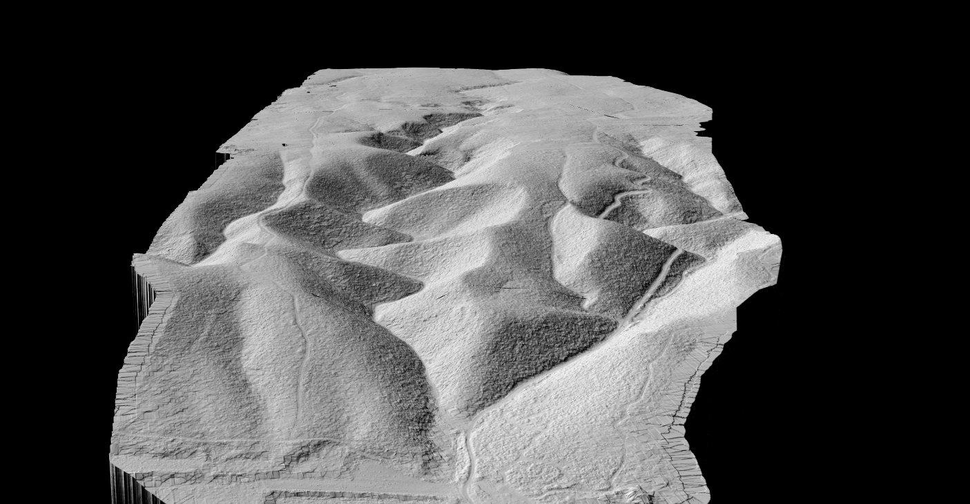
LiDAR terrain mapping uses laser pulses to measure ground elevation across a landscape. Airborne sensors emit thousands of pulses per second, recording the precise location and elevation of each return.
The key advantage: LiDAR pulses can penetrate gaps in tree canopy, allowing multiple returns from a single pulse. This enables terrain mapping even in densely forested areas where photogrammetry cannot see the ground.
How LiDAR Captures Terrain Data
1. Data Acquisition
Aircraft or drone flies over the area. LiDAR sensor emits 100,000+ pulses per second. GPS and IMU record precise sensor position and orientation.
2. Point Cloud Creation
Each laser return becomes a 3D point with X, Y, Z coordinates. Results in millions of points covering the survey area.
3. Classification
Points are classified by what they hit: ground, vegetation, buildings, water. Ground classification is essential for bare-earth terrain mapping.
Terrain Mapping Outputs
LiDAR terrain mapping produces several key deliverables, each serving different analysis needs.
BARE EARTH
Digital Terrain Model (DTM)
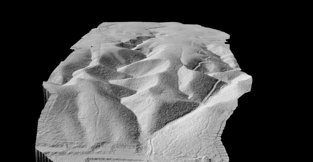
Ground surface with vegetation and buildings removed
- Flood modeling and drainage analysis
- Cut/fill volume calculations
- Foundation planning
- Archaeological feature detection
Digital Surface Model (DSM)
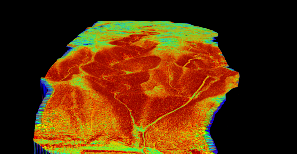
Top of all features including buildings and trees
- Building height extraction
- Canopy height modeling
- Line-of-sight analysis
- Solar potential assessment
Additional Terrain Products
Slope Analysis
Shows terrain gradient as percentage or degrees. Identifies steep areas for erosion risk, accessibility planning, and construction feasibility. Slope map guide →
Hillshade Visualization
Renders terrain with simulated lighting to reveal subtle surface features invisible to raw elevation data. Hillshade guide →
Contour Lines
Connect points of equal elevation for topographic mapping. More accurate than traditional surveys. Contour guide →
Applications of LiDAR Terrain Mapping
Hydrology & Flood Modeling
Watershed delineation, flood prediction, and drainage infrastructure design
Construction & Civil Engineering
Site grading, earthwork calculations, and foundation design
Land Surveying
Topographic maps, boundary calculations, CAD deliverables
Mining & Extraction
Pit location, haul road planning, terrain change monitoring
Agriculture
Drainage planning, field grading, water collection analysis
Archaeology
Hidden features revealed beneath forest canopy via hillshade
LiDAR Terrain Mapping Accuracy
Accuracy depends on equipment quality, flight parameters, and processing methods. Here are USGS 3DEP Quality Level specifications
| Quality Level | Vertical Accuracy (RMSE) | Point Density | Common Use |
|---|---|---|---|
| QL0 | 5 cm | ≥8 pts/m² | Engineering surveys |
| QL1 | 10 cm | ≥8 pts/m² | Detailed mapping |
| QL2 | 10 cm | ≥2 pts/m² | General mapping |
| QL3 | 20 cm | ≥0.5 pts/m² | Regional coverage |
Processing LiDAR for Terrain
Converting raw point clouds into terrain products requires several steps:
Ground Classification — Separating ground points from vegetation, buildings, and other features. Traditional software requires hours of manual tuning. Cloud AI adapts automatically.
Surface Interpolation — Ground points interpolated into continuous surface using TIN, IDW, or kriging methods. Results in a raster grid of elevation values.
Derivative Products — From the base DTM, additional products are derived: slope maps, aspect maps, hillshade, and contours.
Terrain Mapping with Lidarvisor
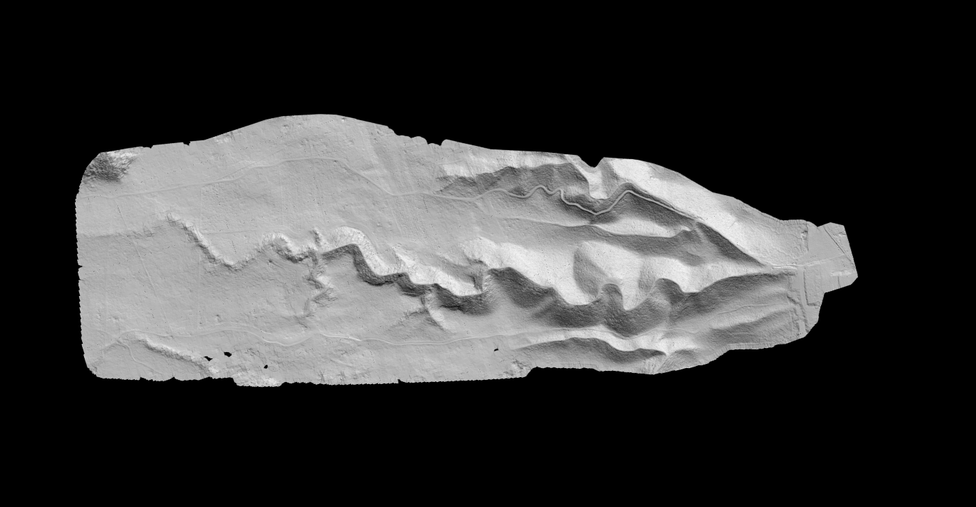
Lidarvisor automates the complete terrain mapping workflow. Upload your point cloud and receive production-ready terrain products without manual classification
Automatic Classification
AI identifies ground points in any terrain type. No parameter tuning required.
Complete Products
DTM, DSM, hillshade, slope map, and contour lines. All from one upload.
Standard Formats
Export as GeoTIFF rasters and DXF/SHP vectors. Ready for GIS and CAD.
Frequently Asked Questions
What is the difference between terrain mapping and topographic mapping?
Terrain mapping focuses specifically on ground surface elevation and shape. Topographic mapping includes terrain plus surface features like buildings, vegetation, roads, and water bodies. LiDAR supports both by classifying points into different categories.
Can LiDAR map terrain under water?
Standard near-infrared LiDAR reflects off water surfaces. Bathymetric LiDAR uses green wavelength lasers that can penetrate shallow water to map underwater terrain in clear conditions. See our bathymetric LiDAR guide.
How does LiDAR terrain mapping compare to photogrammetry?
LiDAR penetrates vegetation to reach the ground. Photogrammetry can only see what cameras can see. For bare terrain in open areas, both work well. For forested terrain, LiDAR is essential. See our LiDAR vs photogrammetry comparison.
What resolution is needed for terrain mapping?
It depends on the application. Engineering surveys typically need 5-10 cm DTM resolution. Regional flood modeling may use 1-2 m resolution. Higher point density enables finer resolution outputs.
Summary
LiDAR terrain mapping transforms raw elevation data into actionable surface intelligence. From DTMs for flood modeling to slope maps for construction planning, terrain products derived from LiDAR support critical decisions across industries.
Cloud processing eliminates the complexity of traditional terrain analysis workflows. Upload your point cloud, let AI handle classification, and download production-ready terrain products in minutes.
Related guides: DTM Guide • DSM Guide • Hillshade Guide • Slope Map Guide • Contour Lines Guide
Ready to Map Your Terrain?
Start with 50 hectares of free processing. No credit card required. Lidarvisor’s AI-powered classification automatically extracts ground points and generates accurate terrain products.
Create free account50 hectares free. No credit card. No software to install.