
Learn LiDAR
LiDAR for Real Estate
Site Analysis and Property Development with Precision Terrain Data
No credit card required • 50 hectares included
Real estate developers need accurate terrain data before breaking ground. LiDAR-derived terrain models provide the precision that traditional surveys and satellite imagery cannot match, from due diligence through construction planning.
Before committing capital to a land purchase, developers need answers: What is the true topography? Where does water flow?
How much earthwork will grading require? LiDAR captures hundreds of thousands of elevation measurements per acre, revealing terrain features invisible to the naked eye or hidden beneath vegetation.
Why Real Estate Professionals Need LiDAR
Hidden Topography
LiDAR penetrates tree canopy to map actual terrain beneath vegetation
Drainage Clarity
Slope analysis reveals natural drainage patterns invisible from site visits
Grading Costs
DTM data enables precise cut/fill calculations instead of guesswork
Compliance
Flood zone determination and wetland identification with accurate data
Key LiDAR Deliverables for Real Estate
Digital Terrain Model (DTM)
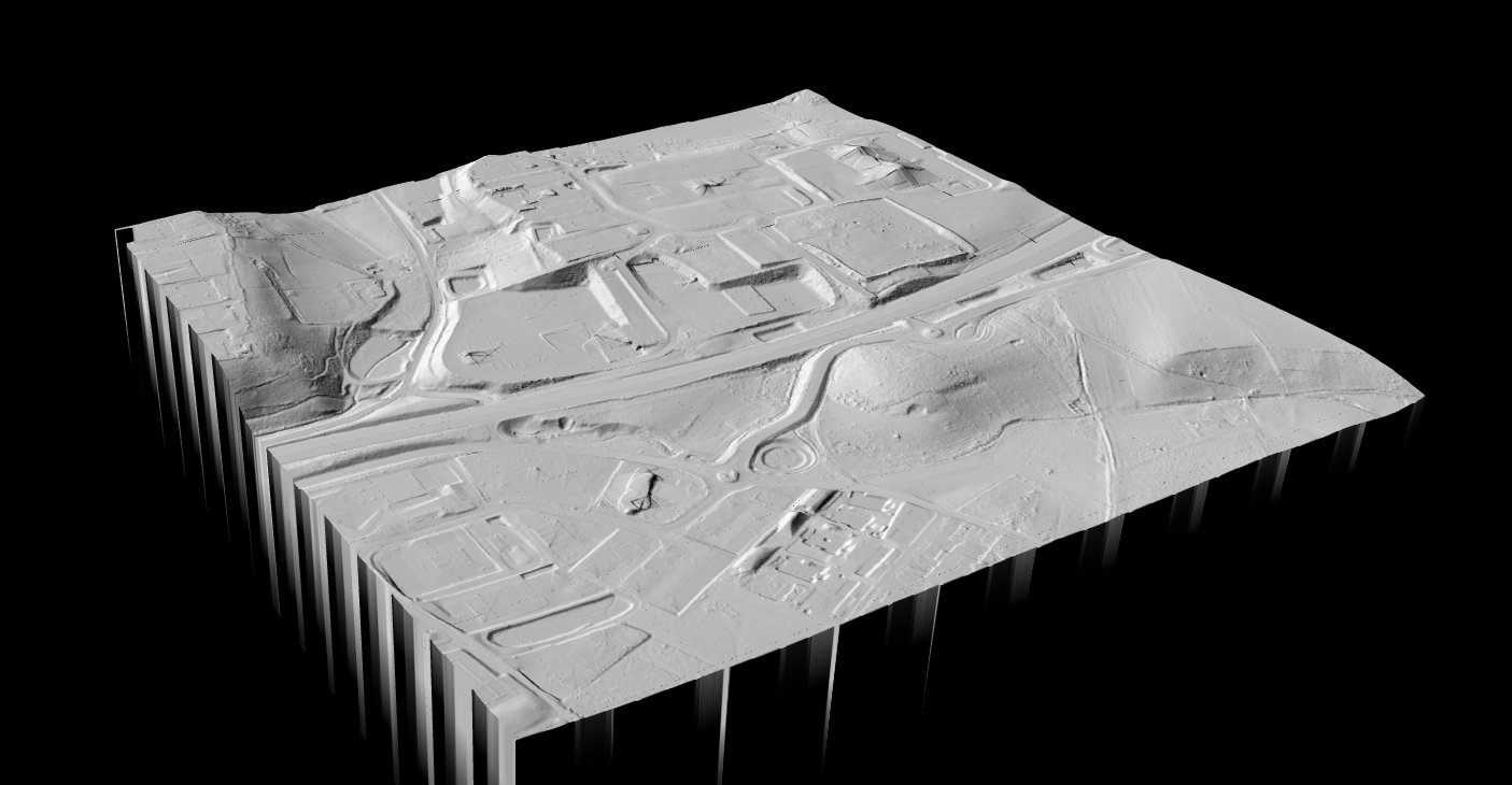
Bare-earth elevation with vegetation and structures removed. The foundation for all site analysis: cut/fill calculations, foundation design, flood zone determination, and accurate boundary elevation profiles.
Contour Lines
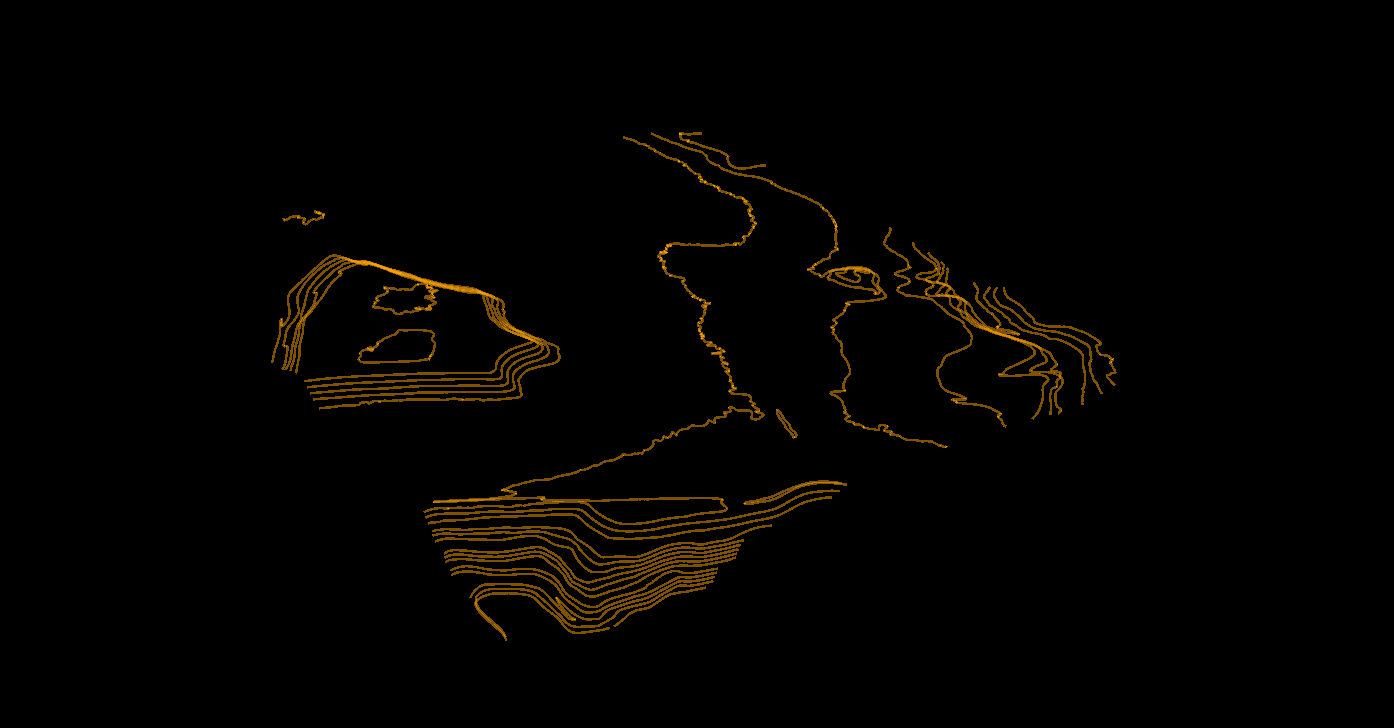
Visualize elevation changes for civil engineering drawings. Exported in DXF format for AutoCAD.
Used for site grading plans, road alignment, retaining wall placement, and lot layout optimization.
Slope Map
Terrain steepness across the property, identifying areas suitable for building, areas requiring stabilization, and natural water flow directions. Critical for erosion risk and stormwater planning.
Hillshade Visualization
Simulated sunlight on the terrain, making topographic features visually intuitive for investors, planning boards, and non-technical stakeholders who may not read contour maps.
Real Estate Use Cases
Pre-Acquisition Due Diligence
Understand exactly what you are buying: actual buildable area, potential wetlands, hidden features under vegetation, and accurate boundary elevations.
Subdivision Planning
Position lots to minimize grading costs, design roads that follow natural terrain, and maximize buildable lots while meeting slope requirements.
Site Grading and Earthwork
Calculate exact cut and fill volumes, compare grading scenarios, and optimize designs to balance material on-site.
LiDAR vs Traditional Survey
| Factor | Traditional Survey | Drone LiDAR |
|---|---|---|
| Coverage speed | 1–2 acres/day | 50–100+ acres/flight |
| Point density | Sparse spot elevations | 100+ points per m² |
| Vegetation penetration | Limited | Excellent |
| Turnaround time | Weeks | Days |
| Cost for large parcels | High | Lower per acre |
For properties over a few acres, drone LiDAR offers significant advantages in speed, coverage, and data density. Traditional surveys remain valuable for precise boundary monuments, making a combined approach ideal.
Processing Workflow with Lidarvisor
Upload
Upload your LAS/LAZ point cloud file from the drone survey.
Classify
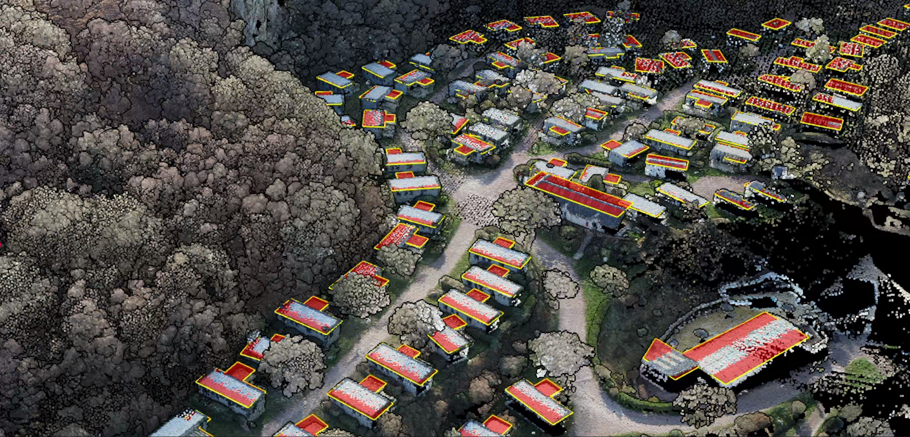
Lidarvisor automatically classifies points into ground, vegetation, buildings, and more.
Generate
Select outputs: DTM, contours, slope map, hillshade, and more.
Export
Download in TIFF for rasters, DXF/SHP for vectors. Ready for CAD and GIS.
Start Your Site Analysis
Whether you have existing LiDAR data or plan to commission a drone flight, Lidarvisor processes your point cloud into the terrain products real estate professionals need. Test with your own data on the free tier before committing to a project.
Create a FREE account now and start processing your point cloud
Get 5 GB of storage space and classify up to 50 hectares for free.
Create free account50 hectares free. No credit card. No software to install.