CONSTRUCTION WORKFLOWS
Why Construction Needs LiDAR
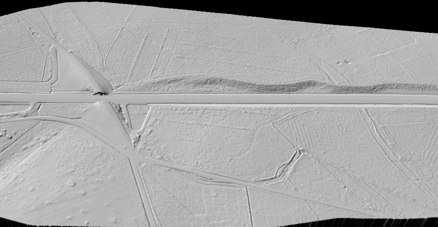
Construction teams make expensive decisions from terrain assumptions every day. Existing grades, embankments, drainage paths, stockpiles, and access conditions all affect design and execution. LiDAR helps replace rough terrain understanding with measurable site geometry.
That matters at every stage: early planning, pre-construction review, active earthworks, and as-built documentation after the site changes.
TERRAIN DELIVERABLES
Key LiDAR Outputs for Construction
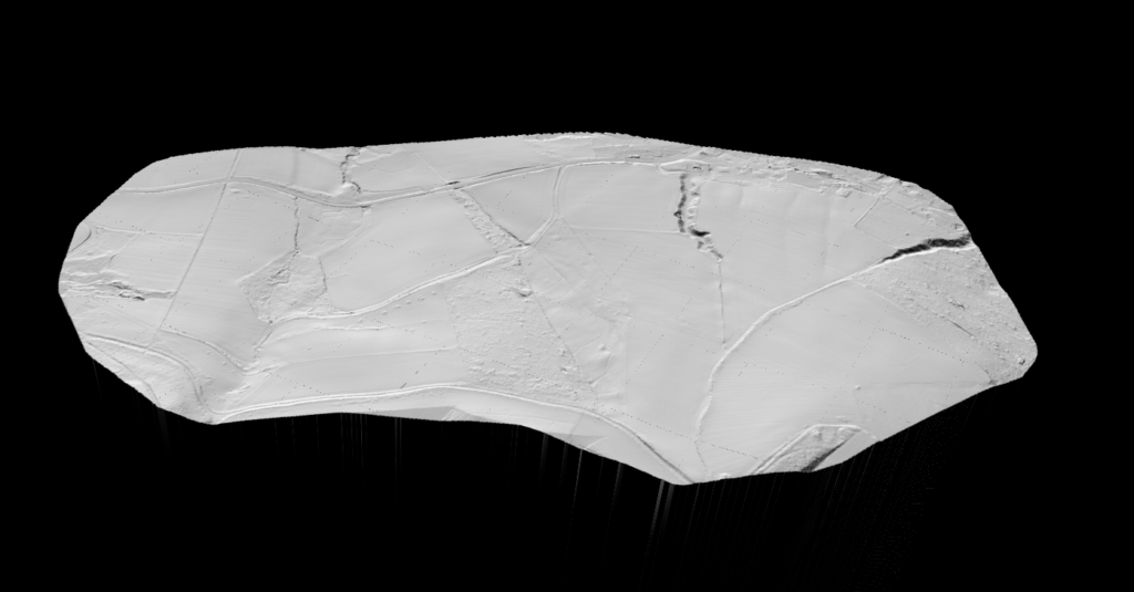
Raw point clouds are useful, but construction teams usually need terrain-focused outputs they can review, compare, and pass into engineering workflows.
Lidarvisor helps turn site scans into practical deliverables instead of leaving the data stuck in a point cloud viewer or desktop-processing queue.
✦ DTM for bare-earth site understanding and grade interpretation
✦ Slope outputs for drainage, access, and terrain stability review
✦ DXF contour deliverables for drafting and engineering coordination
✦ Classified point cloud context for broader site and surface review
APPLICATIONS
Construction Applications
LiDAR helps most where terrain, grade change, and repeat site measurement affect schedule or cost.
🏗️
Site Planning
Review existing terrain, access conditions, and site constraints before work begins.
⛏️
Earthworks Review
Support cut/fill understanding and terrain-focused progress checks on active projects.
💧
Drainage Analysis
Use terrain and slope outputs to inspect runoff paths and grading consequences.
📐
As-Built Context
Create measurable terrain records after the site changes for review and coordination.
Manual Terrain Workflow vs Lidarvisor
The point is not just faster processing. It is getting usable construction terrain outputs without stitching together a fragile manual workflow every time.
Manual Workflow
❌ Clean, classify, model, and export through multiple tools and repeated handoffs
❌ Harder to keep terrain outputs consistent across repeated site checks
❌ More time spent preparing the data before anyone can use it
❌ Slower response when the field team or PM needs a new terrain view quickly
Lidarvisor
✓ Upload site LiDAR, classify it automatically, and generate terrain outputs in one workflow
✓ Better fit for quick planning, repeated checks, and terrain-focused review
✓ Easier to move from raw scan to DTM, slope, and contour deliverables
✓ Less time wasted turning the data into something the project team can actually use
Frequently Asked Questions
LiDAR gives you measurable terrain data before work starts. That helps teams review site shape, grades, drainage paths, and earthwork conditions with better context than rough topographic assumptions alone.
Yes. Construction teams use terrain outputs and site scans to understand changing ground conditions, compare progress, and support cut/fill-oriented decisions depending on the workflow.
Common outputs include DTM, slope products, classified point clouds, and DXF contour deliverables. The exact mix depends on whether the priority is planning, grading, drainage, or post-work review.
No. It is useful anywhere terrain accuracy affects planning or cost. Smaller sites can still benefit when grading, access, drainage, or repeated measurement matter.
Yes, for standard LAS or LAZ workflows. Lidarvisor is designed to let you upload point cloud data, classify it automatically, and export terrain-focused deliverables without depending on a full local processing chain for routine work.
Create a free account and start processing construction LiDAR
Start with 2 GB of storage and process up to 50 hectares for free. Upload site LiDAR and turn it into terrain, slope, and contour outputs in one browser-based workflow.
No credit card required • 2 GB included on free signup
Related Articles
Construction Adjacent
• Bridge & Road Inspection
• Solar Farm Site Assessment
Terrain + Survey
• Create Accurate Terrain Models
• LiDAR Surveying
Next Step
• Point Cloud Vectorization
• Terrain Mapping with LiDAR