
Learn LiDAR
What Is a Digital Surface Model (DSM)? Uses, DSM vs DTM, and LiDAR Workflows
See when a DSM is the right raster output for buildings, vegetation, solar, telecom, and surface-aware planning
No credit card required • 50 hectares included
A digital surface model captures the elevation of everything visible from above: terrain, buildings, vegetation, poles, and structures. This guide explains what a DSM is, how DSM vs DTM changes analysis, which LiDAR workflows need surface-aware outputs, and how to create high-resolution DSM deliverables without slow manual cleanup.
When to Use a DSM Instead of a DTM
Choose the surface based on what needs to stay visible. A DSM keeps rooftops, canopy, bridges, poles, and other above-ground objects in the model. A DTM removes them so you can work from bare-earth terrain only.
Use DTM when…
You need drainage inputs, grading, contours, flood modeling, or engineering surfaces that show only the ground without buildings and vegetation.
Use DSM when…
You need surface-aware outputs for building heights, canopy analysis, solar studies, line-of-sight planning, or any workflow where above-ground structures matter.
What Is a Digital Surface Model?
A DSM is a three-dimensional representation of the Earth’s surface that includes everything visible from above. Unlike bare-earth models, a DSM captures the first-return elevations, the highest points detected when scanning from above.
Think of a DSM as a snapshot of what you would see if you draped a sheet over a landscape. Every rooftop, treetop, and ground surface appears at its true elevation above a reference datum.
DSMs are usually stored as raster grids where each cell contains an elevation value. Common resolutions range from 30 meters for satellite products down to centimeter-level detail from drone surveys.
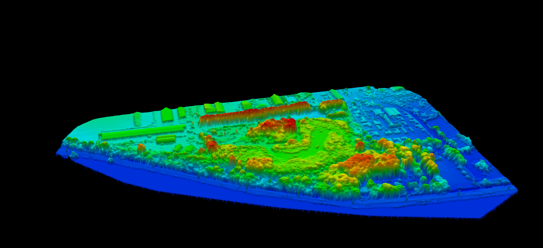
All Surfaces
Buildings, vegetation, bridges, vehicles, and other visible objects stay in the model.
First-Return Elevation
Uses the top-most LiDAR return for each location to represent what sits on the surface.
Raster Deliverable
Typically exported as GeoTIFF for GIS, planning, and engineering workflows.
Scales with Data Quality
From national elevation products to very high-resolution drone LiDAR deliverables.
DSM vs DTM vs DEM
The terms DEM, DTM, and DSM are often confused, but they describe different elevation products with different uses
| Feature | DSM | DTM | DEM |
|---|---|---|---|
| Includes buildings | Yes | No | Varies |
| Includes vegetation | Yes | No | Varies |
| Shows bare earth | No | Yes | Varies |
| Used for hydrology | Rarely | Yes | Yes |
| Best for urban planning and line-of-sight | Yes | Rarely | Varies |
The Normalized DSM (nDSM)
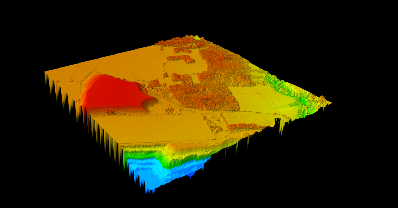
A normalized DSM represents object heights above ground rather than absolute elevation. It is calculated by subtracting the DTM from the DSM.
nDSM = DSM − DTM
The nDSM is valuable for measuring building heights, generating canopy height models, estimating vegetation biomass, and identifying above-ground obstructions for flight planning or asset management.
How Digital Surface Models Are Created
Several technologies can generate DSMs, but LiDAR remains the most accurate and dependable option when you need sharp edges, reliable height values, and consistent results in complex environments
Data Acquisition
Drone, mobile, or airborne LiDAR collects millions of elevation samples across the site.
Classification
Points are labeled as ground, vegetation, buildings, and other classes for downstream products.
Surface Generation
First-return points are interpolated into a continuous raster surface that preserves above-ground features.
Export
The finished DSM is exported as GeoTIFF and paired with derived products when needed.
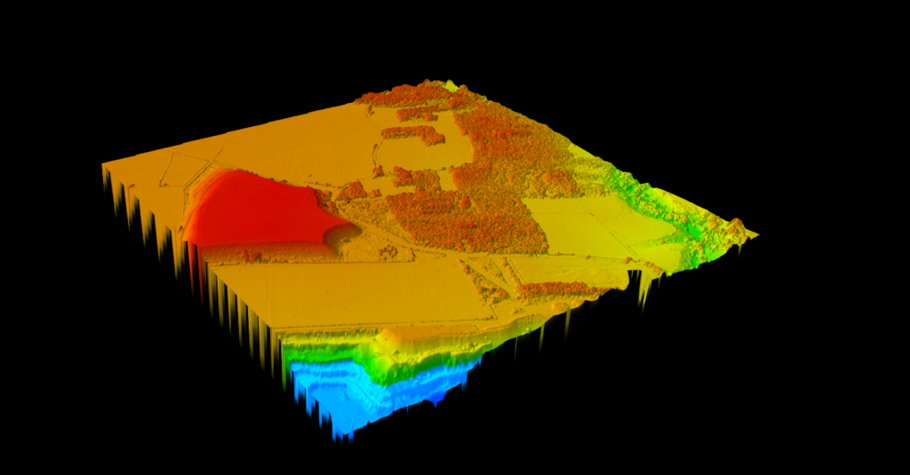
Different acquisition methods can all produce DSMs, but they trade off accuracy, cost, and consistency in very different ways.
LiDAR is the strongest choice when you need crisp rooflines, dependable canopy heights, and a DTM from the same dataset. Photogrammetry works well when orthoimagery is also required. Radar is useful for regional mapping where lower resolution is acceptable.
- LiDAR delivers the best vertical accuracy and edge definition
- Photogrammetry adds imagery but struggles under canopy
- Radar supports large-area coverage with lower surface detail
LiDAR vs Photogrammetry vs Radar for DSM
| Factor | LiDAR | Photogrammetry | SAR / Radar |
|---|---|---|---|
| Surface detail | Excellent | Good | Moderate |
| Building edge definition | Sharp | Moderate | Blurred |
| Vertical accuracy | 3–15 cm | 5–30 cm | 2–10 m |
| Weather dependency | Moderate | High | Low |
| Best DSM applications | Urban, telecom, solar | Construction, agriculture | Regional mapping |
Built for DSM Workflows Across Industries
Urban Planning
Building heights, shadow studies, zoning checks, and 3D city models.
Telecom
Line-of-sight analysis, clutter modeling, and tower siting decisions.
Forestry
Canopy mapping, biomass estimation, and vegetation height workflows.
Solar & Aviation
Shading analysis, obstacle detection, and corridor planning for safe operations.
Creating DSMs with Lidarvisor
Lidarvisor simplifies DSM generation from LiDAR point clouds in four steps:
- Upload your LAS or LAZ point cloud file
- Automatic classification labels points as ground, vegetation, buildings, and more
- DSM generation creates the first-return surface automatically
- Download a GeoTIFF ready for GIS analysis, planning, or engineering workflows
The same workflow can also generate DTM, hillshade, slope, and other derivative outputs from the same classified dataset.
DSM Deliverables and Export Formats
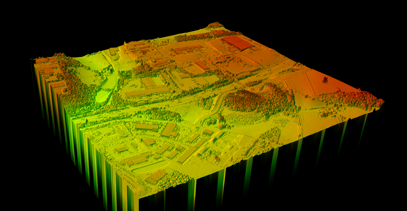
A DSM is usually delivered as a raster elevation surface, but many projects also need companion outputs for interpretation, modeling, and QA.
- GeoTIFF DSM — standard raster output for GIS and engineering
- Hillshade and slope derivatives — fast visual interpretation of buildings, canopy, and terrain form
- Vector outputs — building footprints, tree crowns, contours, or CAD-ready layers
- LAS / LAZ archives — original or classified point clouds for QA and reuse
Frequently Asked Questions
Quick answers to the most common DSM questions, from file formats to choosing the right surface for your workflow
What is the difference between DSM and DTM?
A DSM includes all visible surfaces like buildings and trees, while a DTM shows only the bare ground with objects removed. Use a DSM when surface features matter; use a DTM for terrain-only analysis such as drainage, grading, or flood modeling.
How accurate is a DSM?
Accuracy depends on the acquisition method and point density. LiDAR-derived DSMs commonly achieve centimeter-level vertical accuracy, while photogrammetric DSMs are often less precise and satellite products are lower resolution.
Can I create a DSM from drone imagery?
Yes. Drone photogrammetry and drone LiDAR can both produce DSMs. Photogrammetry is usually lower cost and also provides imagery, while LiDAR is stronger in vegetated or complex urban environments.
What file format are DSMs stored in?
GeoTIFF is the most common DSM format because it stores elevation values in a georeferenced raster. Projects may also include LAS, LAZ, SHP, DXF, or GeoJSON outputs depending on the downstream workflow.
How do I choose between DSM and DTM for my project?
- Need to see buildings and trees? Use a DSM
- Need bare ground for grading or hydrology? Use a DTM
- Need object heights? Use both, then calculate an nDSM
Ready to Generate Your DSM?
Upload your point cloud and get a high-resolution Digital Surface Model in minutes. Create a free account, start with 50 hectares of processing, and export DSM outputs ready for GIS, planning, and engineering work. If you are still comparing tools first, see our digital surface model software guide for workflow-focused buying criteria.
Create free account50 hectares free. No credit card. No software to install.