
Learn LiDAR
LAS and LAZ File Format Guide
Understanding LiDAR Point Cloud Files
No credit card required • 50 hectares included
The LAS file format is the industry standard for storing and exchanging LiDAR point cloud data. Its compressed counterpart LAZ reduces file sizes by 70-90% without losing any data. This guide covers file structure, versions, classification codes, and processing workflows.
Inspect your own file
Need the metadata rather than the picture? Read the header, coordinate system, extent and classification breakdown of any LAS or LAZ file straight in your browser, without uploading it.
What Is a LAS File?
A LAS file (LASer file format) is an open, binary format designed for the interchange and archiving of LiDAR point cloud data. Developed and maintained by the American Society for Photogrammetry and Remote Sensing (ASPRS), the LAS format has been the industry standard since 2003.
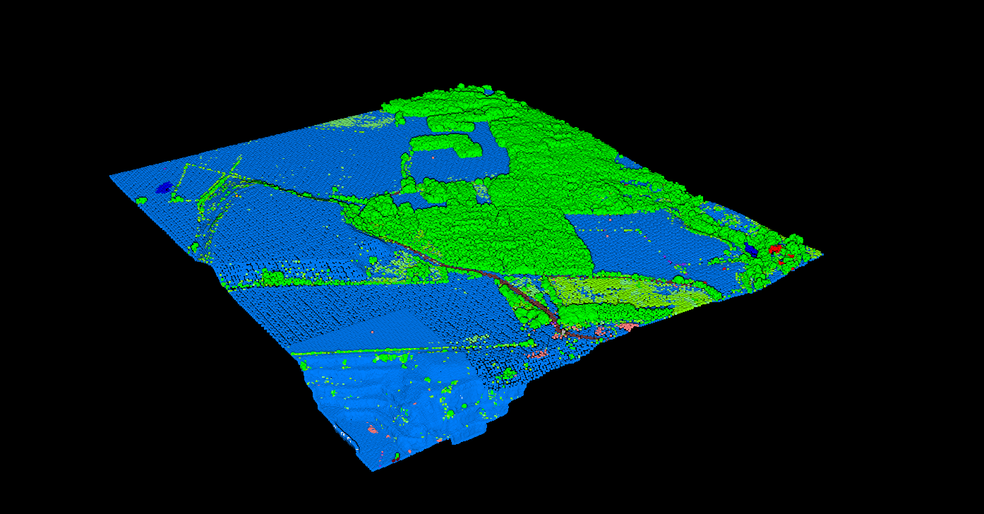
Each LAS file contains thousands to billions of 3D points, where each point includes X, Y, Z coordinates, intensity (return signal strength), classification code, return number, GPS time (optional), and RGB color values (optional).
LAS files are stored as binary data with a defined header structure, making them efficient to read and write compared to text-based formats.
Binary Format
Efficient storage with defined header, VLRs, and point records
3D Coordinates
Precise X, Y, Z position for every laser return point
Classification
Points labeled as ground, vegetation, building, water, etc.
Industry Standard
ASPRS standard supported by all major LiDAR software
LAS File Structure
Every LAS file follows a defined structure with four main sections that organize metadata and point data efficiently
| Section | Description | Contents |
|---|---|---|
| Public Header Block | File metadata | Version, point count, bounding box, scale factors, CRS |
| Variable Length Records | Extended metadata | Projection info, custom data (max 65,535 bytes each) |
| Point Data Records | Point cloud data | X, Y, Z, intensity, classification, returns, time, color |
| Extended VLRs | Large metadata (LAS 1.3+) | Waveform data, large payloads after point data |
LAS Versions: 1.2 vs 1.3 vs 1.4
The LAS specification has evolved to support new sensor capabilities. The current version is LAS 1.4 R15 (July 2019)
| Version | Release | Key Features |
|---|---|---|
| LAS 1.2 | 2008 | Core format with classification, intensity, GPS time. Point formats 0-3. Most compatible. |
| LAS 1.3 | 2010 | Waveform support (formats 4-5), EVLRs for larger metadata payloads. |
| LAS 1.4 | 2011 | 64-bit point count, 256 classification codes, NIR channel. Point formats 6-10. |
Point Data Record Formats
The Point Data Record Format (PDRF) determines what attributes are stored for each point. Format 3 is most common for aerial LiDAR
Format 0-1
Basic coordinates and intensity. Format 1 adds GPS time. 20-28 bytes per point.
Format 2-3
Adds RGB color. Format 3 includes GPS time + color. Most common for aerial surveys.
Format 6-8
LAS 1.4 formats with 256 classification codes. Format 8 adds NIR channel.
What Is a LAZ File?
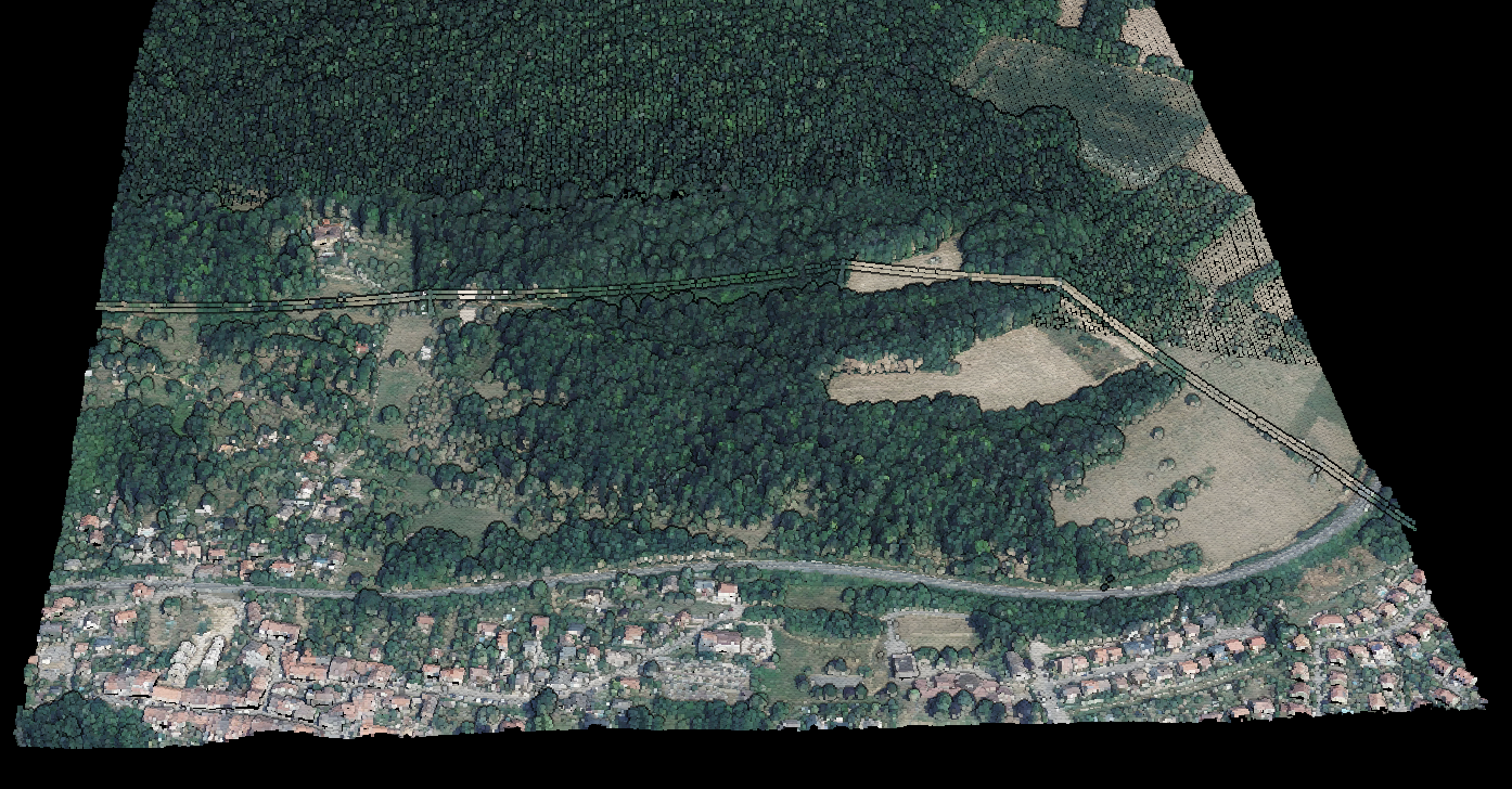
LAZ is the lossless compression of LAS files developed by Martin Isenburg (rapidlasso). LAZ files are structurally identical to LAS but compressed, reducing file sizes to 7-25% of the original.
When to use LAZ: Storage, archiving, file transfer, cloud hosting. LAZ is now a de facto industry standard.
When to use LAS: Legacy software compatibility or when maximum read performance is critical.
The compression is completely lossless—every point and attribute is preserved exactly.
LAS vs LAZ Comparison
| Aspect | LAS | LAZ |
|---|---|---|
| Compression | None | Lossless (7-25% of LAS) |
| Data Loss | None | None |
| Read Speed | Faster | Slightly slower |
| File Size | Larger | Much smaller |
| Compatibility | Universal | Widely supported |
LAS Classification Codes
The ASPRS standard defines classification codes for common features. LAS 1.4 expanded support to 256 codes. Learn more in our LiDAR classification guide
| Code | Classification | Description |
|---|---|---|
| 2 | Ground | Bare earth surface points |
| 3-5 | Vegetation | Low, medium, and high vegetation |
| 6 | Building | Building rooftops and structures |
| 7 | Low Point | Noise points below surface |
| 9 | Water | Water bodies |
| 14-15 | Wire/Tower | Power lines and transmission towers |
How to Process LAS Files
Raw LAS files from a LiDAR sensor typically need processing before they are useful. Lidarvisor automates this workflow
Upload
Upload your LAS or LAZ point cloud file to the cloud platform.
Classification
AI-powered classification labels ground, vegetation, buildings automatically.
Product Generation
DTM, DSM, contours, and hillshade generated from classified points.
Download
Export classified LAS, GeoTIFF rasters, and vector products.
How to Open LAS Files
Free Online Viewer
Our free LAS file viewer works directly in your browser. No installation required.
Desktop Software
- CloudCompare: Free, open-source point cloud viewer
- QGIS: Free GIS with native LAS support (3.18+)
- Global Mapper: Commercial GIS with excellent LAS handling
LAS Applications
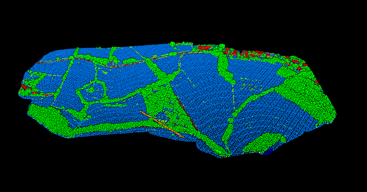
Terrain Modeling
Generate DTM and DSM for engineering, hydrology, and site planning
Forestry
Canopy height, biomass estimation, tree crown delineation
Urban Mapping
Building footprints, 3D city models, shadow analysis
Utilities
Power line clearance, vegetation encroachment monitoring
Construction
Site surveys, progress monitoring, volume calculations
Hydrology
Flood modeling, watershed analysis, drainage planning
Frequently Asked Questions
What is the difference between LAS and LAZ?
LAS is the uncompressed format while LAZ is the lossless compressed version. LAZ files are 7-25% the size of LAS files with no data loss. Most modern software supports both formats.
Which LAS version should I use?
For maximum compatibility with older software, use LAS 1.2. For modern drone LiDAR and high-density scans requiring more than 32 classification codes, use LAS 1.4. Most processing software can convert between versions.
How do I view a LAS file?
Use our free online LAS viewer at lidarvisor.com/las-file-viewer for quick visualization. For desktop work, CloudCompare (free) or QGIS (free) both support LAS and LAZ files natively.
Why is my LAS file not georeferenced?
Some LAS files lack coordinate reference system (CRS) information in their Variable Length Records. Check the header for GeoTIFF tags or WKT definitions. If missing, you may need to manually assign the correct CRS in your GIS software.
What is COPC?
COPC (Cloud Optimized Point Cloud) extends LAZ for cloud-native workflows. COPC files organize point data into an octree structure, enabling efficient streaming without downloading the entire file. It is the point cloud equivalent of Cloud Optimized GeoTIFF.
Related Articles
File Formats & Tools
• LAS File Viewer • CRS Guide
Processing & Software
• Best LiDAR Software • Open Source Software • Processing Costs • Point Cloud Cleaning • Point Cloud to CAD
Create a FREE account now and start processing your point cloud
Get 5 GB of storage space and classify up to 50 hectares for free.
Create free account50 hectares free. No credit card. No software to install.