
Learn LiDAR
LiDAR Classification Guide: ASPRS Classes, Codes, and Point Cloud Workflow
LiDAR classification organizes raw point clouds into usable classes such as ground, low or high vegetation, buildings, water, bridge decks, wires, and poles.
No credit card required • 50 hectares included
This guide explains ASPRS class codes plus the workflow teams use to turn LAS or LAZ files into terrain, forestry, and utility-ready deliverables.
Why Classification Matters
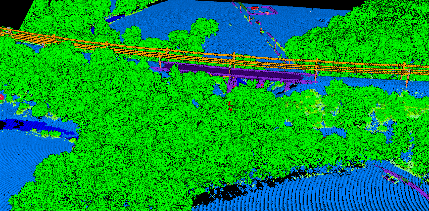
Without classification, a point cloud is simply millions of XYZ coordinates. With classification, it becomes an organized dataset where you can:
- Isolate ground points for terrain modeling
- Extract buildings for urban mapping
- Identify vegetation for forestry analysis
- Map power lines for utility inspection
Classification information is stored within LAS/LAZ files as an integer attribute following ASPRS standards.
ASPRS Standard Classification Codes
Basic Classes
- 0 — Never Classified
- 1 — Unclassified
- 2 — Ground
- 7 — Low Point (Noise)
- 9 — Water
Vegetation
- 3 — Low Veg (0-0.5m)
- 4 — Medium Veg (0.5-2m)
- 5 — High Veg (>2m)
- 6 — Building
Infrastructure
- 10 — Rail
- 11 — Road Surface
- 14 — Wire Conductor
- 15 — Transmission Tower
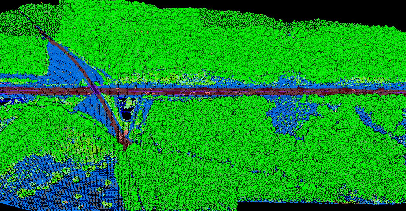
- 17 — Bridge Deck
Classification in Agricultural Areas
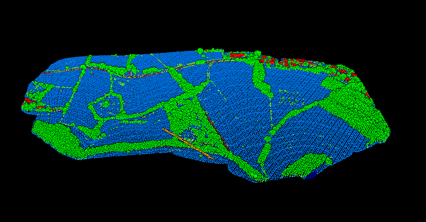
In agricultural landscapes, classification separates cropland, hedgerows, farm buildings, and irrigation infrastructure. This enables precision farming analysis and land management planning.
The Classification Workflow
Step 1: Noise Classification
Always classify noise first. Outlier points corrupt subsequent algorithms — high noise (birds, atmosphere), low noise (multipath errors).
Step 2: Ground Classification
Ground classification is foundational. Building and vegetation classification require knowing where the ground is. Common algorithms: Progressive TIN Densification, Cloth Simulation Filter (CSF), SMRF.
Step 3: Building Classification
Algorithms identify buildings based on height above ground, planar surfaces, and geometric regularity.
Step 4: Vegetation Stratification
Separate points into height strata: Low (0-0.5m), Medium (0.5-2m), High (>2m). Distinguishing vegetation from buildings relies on scattered patterns vs planar surfaces.
Rural & Forested Terrain
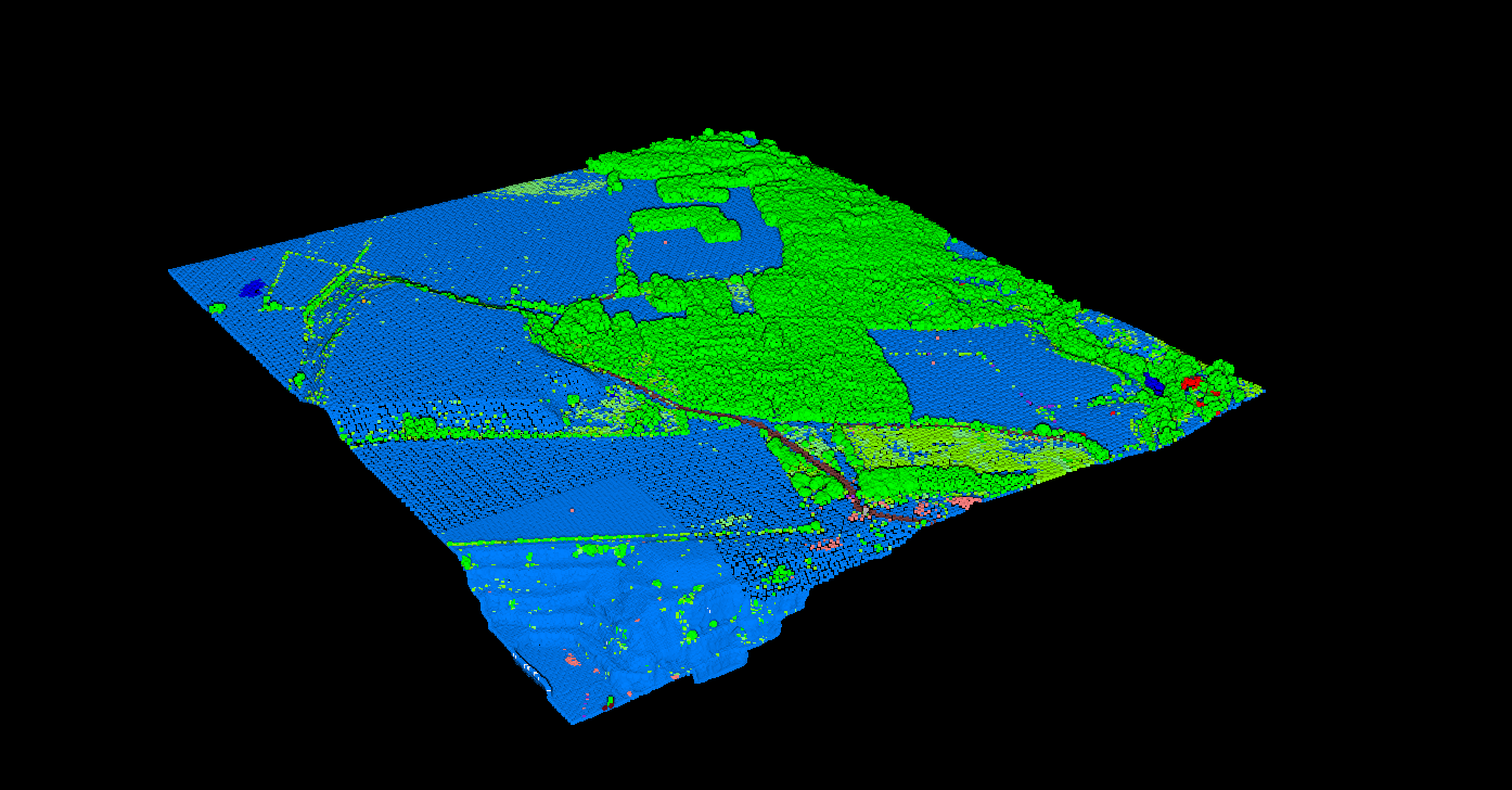
Classifying rural areas with mixed forest coverage requires careful parameter tuning. Ground classification algorithms must handle the transition between open fields and dense canopy, while vegetation stratification reveals the forest structure from understory to crown.
Ground Classification Algorithms
Progressive TIN Densification
Builds triangulated surface iteratively. General terrain, widely used in production.
Cloth Simulation Filter
Simulates cloth draping over inverted cloud. Handles varied terrain and steep slopes.
Power Line & Utility Classification
Power lines and transmission infrastructure require specialized classification algorithms. The thin linear geometry of conductors demands high point density and careful separation from surrounding vegetation. Classified power line data enables encroachment analysis and maintenance planning.
Related Articles
Point Cloud Classification
• Classification Codes • Classification Methods • What is Classification? • Classification Software • Manual Classification Guide
Terrain & Elevation
• DTM Guide • DSM Guide • DEM Guide • DTM vs DSM • Hillshade Maps
Automate Your Classification Workflow
LidarVisor uses AI-powered classification to automatically label ground, vegetation, buildings, and more. Upload your LAS/LAZ files and get classified data with DTM/DSM generation.
Built-in manual tools (brush selection, class permutation, filtering) let you refine edge cases without leaving the platform.