
Learn LiDAR
LAS Viewer Online for LAS & LAZ Files
Open point cloud files in your browser, no install required
No credit card required • 50 hectares included
Need a LAS viewer or LAZ viewer you can open right away? View LAS and LAZ point cloud files directly in your browser, no downloads, no installation, no hassle.
Inspect your own file
Need the metadata rather than the picture? Read the header, coordinate system, extent and classification breakdown of any LAS or LAZ file straight in your browser, without uploading it.
What is a LAS File?
LAS (LASer) is the industry-standard file format for storing LiDAR point cloud data, developed by ASPRS. Files can range from megabytes to gigabytes depending on survey size.
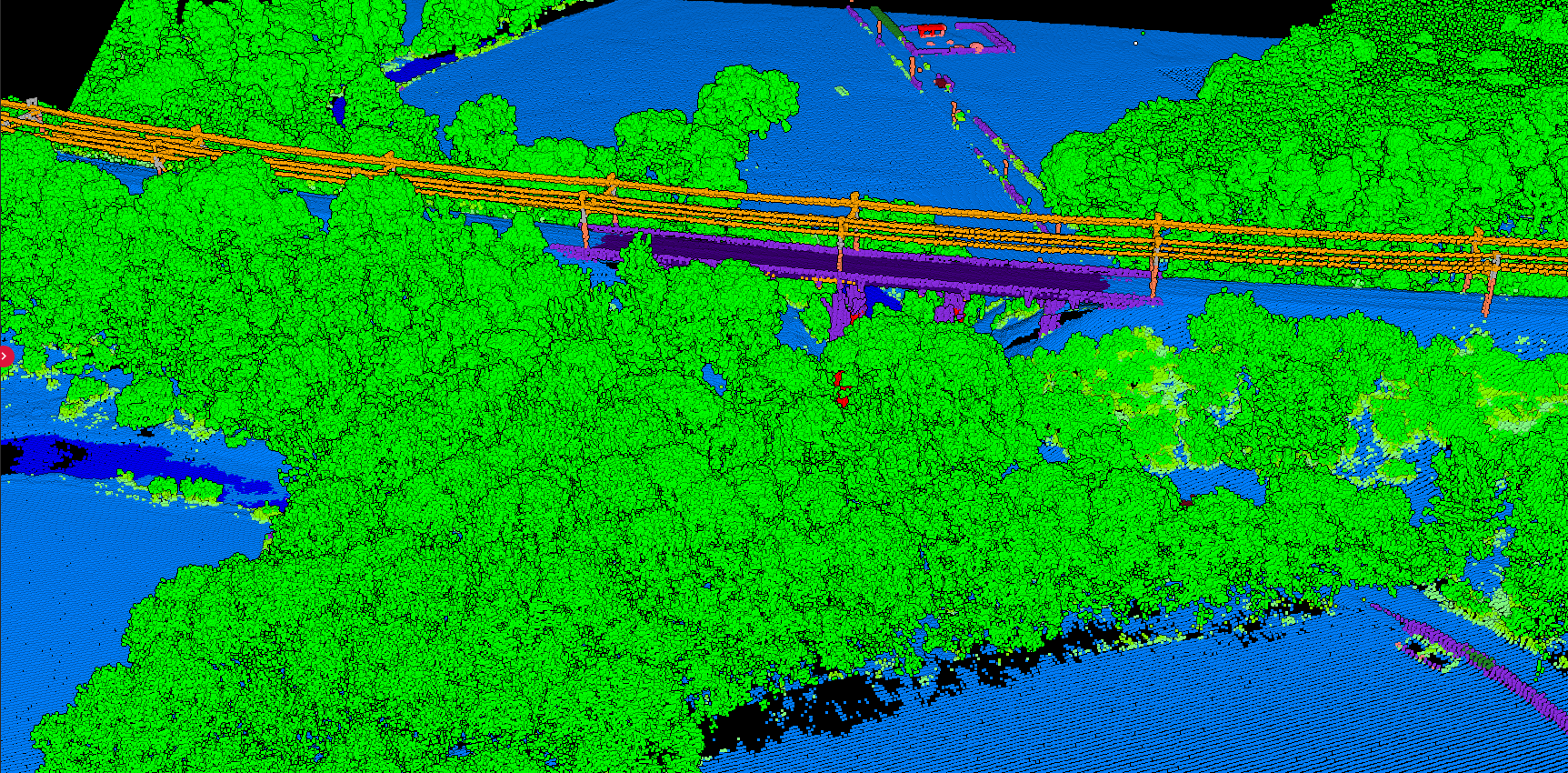
XYZ Coordinates
3D position of each point
Intensity
Reflectance strength of laser return
Classification
Point type (ground, vegetation, building)
RGB Color
When captured with camera imagery
Return Info
First, last, or intermediate returns
GPS Time
Timestamp of each point capture
- ❌ Installation required
- ❌ Complex interfaces with learning curve
- ❌ High RAM and GPU requirements
- ❌ Collaborators need same software
Online Viewer Benefits
- ✅ Instant access—upload and view
- ✅ Works on any device with browser
- ✅ Easy sharing via links
- ✅ Quick preview before processing
How to View LAS Files Online
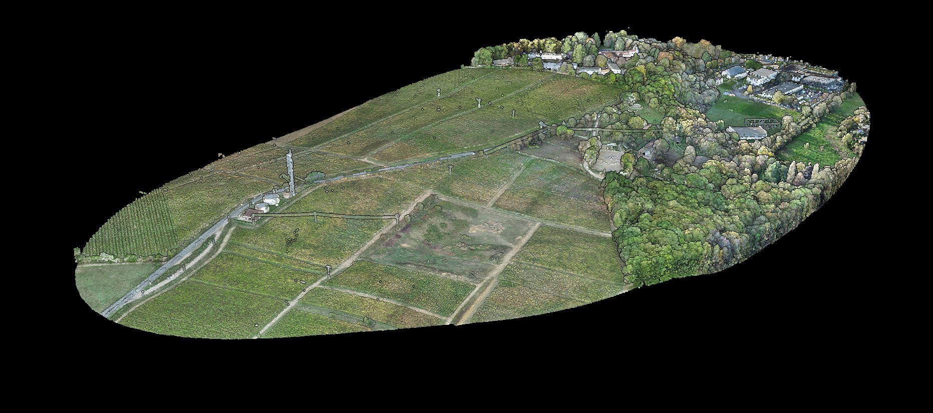
Open Viewer
Go to Lidarvisor Point Cloud Viewer
Upload
Drag and drop your LAS or LAZ file (up to 5 GB LAS / 1 GB LAZ on the free plan)
Process
Browser renders the point cloud automatically
Explore
Rotate, zoom, pan to examine your data
Related guide
Want the format itself explained rather than a viewer? The LAS and LAZ file format guide covers how the ASPRS format stores returns, classification codes and coordinate information, and what changes when a LAS file is compressed to LAZ.
Create a FREE account now and start processing your point cloud
Get 5 GB of storage space and classify up to 50 hectares for free.
Create free account50 hectares free. No credit card. No software to install.