
Learn LiDAR
What is Coordinate Reference Systems (CRS) in LiDAR?
A Coordinate Reference System defines how the numbers in your LiDAR file correspond to actual locations on Earth.
No credit card required • 50 hectares included
Get it wrong, and your perfectly accurate survey lands in the wrong place — sometimes by meters, sometimes by thousands of kilometers.
Inspect your own file
Need the metadata rather than the picture? Read the header, coordinate system, extent and classification breakdown of any LAS or LAZ file straight in your browser, without uploading it.
Geographic vs Projected Coordinates
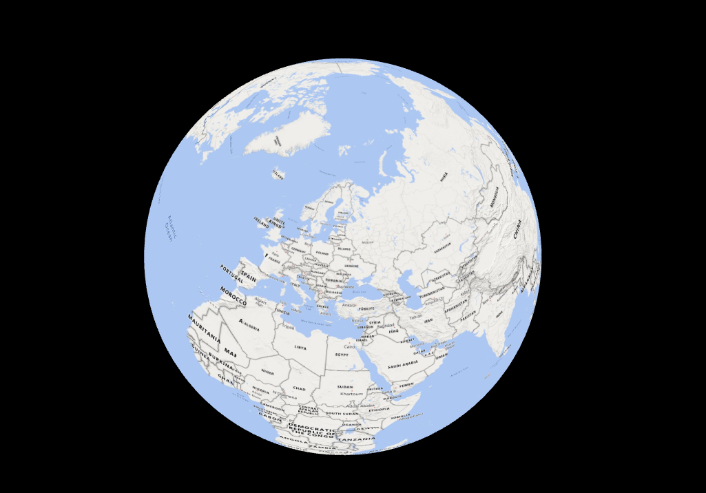
Geographic CRS uses latitude and longitude, angles that specify position on a curved surface. The most common is WGS84 (EPSG:4326), used by GPS receivers worldwide.
Projected CRS transforms those angles onto a flat surface, producing X/Y coordinates in linear units like meters or feet. UTM divides the world into 60 zones, each optimized for minimal distortion.
LiDAR typically uses projected coordinates because survey measurements require consistent, accurate distances.
The Vertical Dimension
Horizontal position is only half the story. Elevation can reference the WGS84 ellipsoid (a mathematical approximation of Earth’s shape) or a geoid model that approximates mean sea level.
The difference between ellipsoidal and orthometric height exceeds 50 meters in some regions. Mixing them produces terrain that looks wildly wrong: rivers flowing uphill, buildings floating above ground.
Related Articles
File Formats & Tools
Processing & Software
• Best LiDAR Software • Open Source Software • Processing Costs • Point Cloud Cleaning • Point Cloud to CAD
Automatic CRS Handling with LidarVisor
LidarVisor reads CRS metadata from your LAS/LAZ files automatically. The platform handles reprojection for web visualization and exports data in your survey's original coordinate system (with WGS84 GeoJSON alongside) for seamless integration with other GIS data.