
Tutorials
How to Download Free LiDAR Data from Norway Høydedata
Step-by-Step Tutorial
No credit card required • 50 hectares included
Learn how to access and download free high-resolution LiDAR point cloud data, DTMs, and DSMs for Norway through Kartverket’s Høydedata portal. Complete coverage of Norwegian terrain with data up to 10 points per square meter.
Høydedata is Norway’s official elevation data portal operated by Kartverket (the Norwegian Mapping Authority). It provides free access to high-quality LiDAR data, digital terrain models, and digital surface models covering all of Norway.
What is Høydedata?
Point Cloud Data (LAZ)
High-density LiDAR point clouds up to 10 points/m². Classified with ground, vegetation, buildings, and water classes.
DTM & DSM Rasters
Digital Terrain Models (ground) and Digital Surface Models (including buildings and vegetation) in GeoTIFF format.
Full Norway Coverage
National coverage including the National Height Model (Nasjonal Høydemodell) with 1m resolution terrain data.
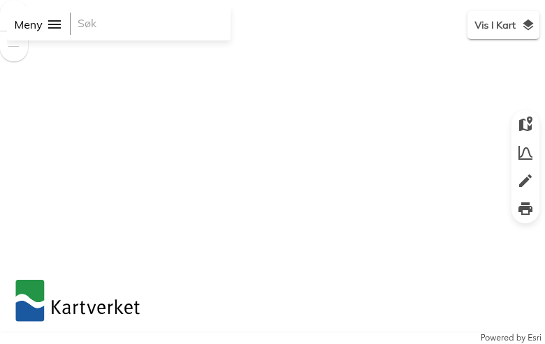
The interface features:
- Meny (Menu) – Access export options and settings
- Søk (Search) – Search for locations by name or coordinates
- Vis I Kart (Show in Map) – Toggle data layer visibility
- Map tools – Zoom, draw selection areas, and view terrain profiles
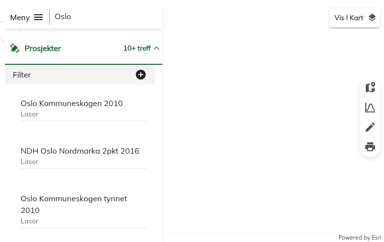
You can search by:
- Place name – City, municipality, or landmark (e.g., “Oslo”, “Bergen”)
- Address – Street address or location
- Coordinates – UTM or geographic coordinates
The search results show available Prosjekter (Projects) – individual LiDAR survey datasets with their year and point density (e.g., “Oslo 10pkt 2024” = Oslo, 10 points/m², 2024).
Navigate to Høydedata
Go to hoydedata.no/LaserInnsyn2 to access the Høydedata portal.
Search for Your Location
Use the Søk (Search) bar to find your area of interest.
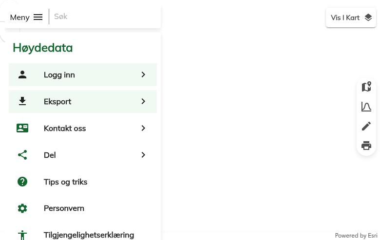
The menu also provides access to:
- Logg inn – Log in for additional features
- Kontakt oss – Contact information
- Del – Share your current map view
- Tips og triks – Tips and tricks for using the portal
Note: No account is required for basic downloads.
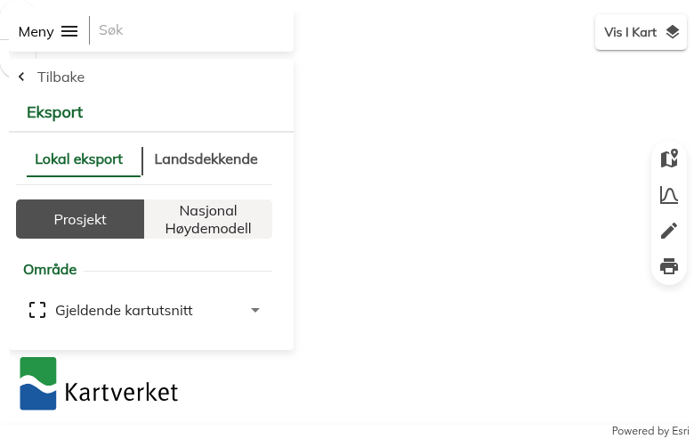
Export Type:
- Lokal eksport – Download specific project data for your selected area
- Landsdekkende – Access nationwide datasets
Data Source:
- Prosjekt – Individual LiDAR survey projects
- Nasjonal Høydemodell – National height model (1m resolution DTM)
Area Selection:
Use Gjeldende kartutsnitt (current map view) or draw a custom polygon using the drawing tools.
Open the Export Panel
Click on Meny (Menu) in the top-left corner, then select Eksport (Export).
Configure Your Export
In the Export panel, configure your download:
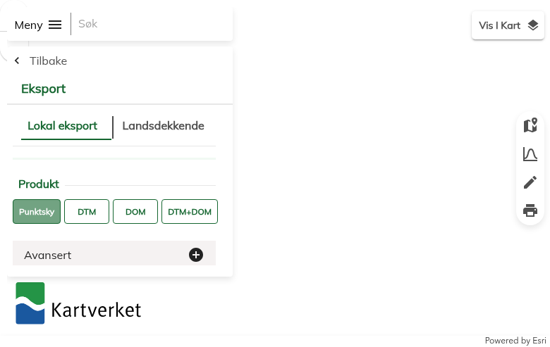
- Punktsky – Point cloud data (LAZ format)
- DTM – Digital Terrain Model (ground only)
- DOM – Digital Surface Model (including objects)
- DTM+DOM – Both terrain and surface models
Expand Avansert (Advanced) for additional options:
- File format (LAZ, LAS)
- Coordinate system (UTM zones)
- Clipping options
Click Klargjør eksport (Prepare export) to generate your download.
Select Product Type & Download
Choose your desired Produkt (Product):
Available File Formats
Høydedata offers multiple data formats optimized for different use cases
| Format | Type | Best For |
|---|---|---|
| LAZ | Point Cloud | Compressed LiDAR – ideal for storage and processing in GIS software |
| LAS | Point Cloud | Uncompressed LiDAR – maximum compatibility with CAD/3D software |
| GeoTIFF | Raster | DTM/DSM elevation grids – standard format for terrain analysis |
| UTM 32/33/35 | Coordinate System | Regional UTM zones covering different parts of Norway |
Tips for Downloading Norwegian LiDAR
Check Project Density
Project names indicate point density (e.g., “2pkt” = 2 pts/m², “10pkt” = 10 pts/m²). Higher density provides more detail but larger file sizes.
Use LAZ Format
LAZ files are 5-10x smaller than LAS with no data loss. Most modern software supports LAZ directly.
Use Nasjonal Høydemodell
For nationwide consistent coverage, use the National Height Model. It’s preprocessed, seamless, and perfect for large-area analysis.
Select Small Areas First
Start with small test areas to verify data quality and format compatibility before downloading large datasets.
Frequently Asked Questions
Is Høydedata data free to use?
Yes! All data from Høydedata is available free of charge under Norway’s open data policy. The data can be used for both personal and commercial purposes without requiring attribution, though citing Kartverket is appreciated.
Do I need an account to download?
No account is required for standard downloads. You can access and download LiDAR data, DTMs, and DSMs without registration. Some advanced features may require logging in.
What is the resolution of Norwegian LiDAR data?
LiDAR point density varies by project:
- Standard coverage: 2 points per m² (2pkt)
- Urban areas: 5-10 points per m² (5pkt, 10pkt)
- National Height Model (DTM): 1 meter resolution
Check the project name for density indicators (e.g., “Oslo 10pkt 2024” = 10 points/m²).
What coordinate system is used?
Norwegian data uses UTM coordinate systems based on location:
- UTM Zone 32N (EPSG:25832) – Southern and Western Norway
- UTM Zone 33N (EPSG:25833) – Central and Northern Norway
- UTM Zone 35N (EPSG:25835) – Far Northern Norway (Finnmark)
The export panel allows you to select your preferred coordinate system.
How current is the data?
Norway continuously updates its LiDAR coverage. Project dates are shown in the dataset names (e.g., “2024” indicates 2024 acquisition). The National Height Model is regularly updated as new surveys are completed. Urban areas typically have more recent and higher-density data.
What’s the difference between Prosjekt and Nasjonal Høydemodell?
Prosjekt (Project) provides raw LiDAR point clouds from individual survey campaigns. These offer the highest detail and include classification.
Nasjonal Høydemodell (National Height Model) is a seamless, preprocessed DTM covering all of Norway at 1m resolution. It’s created from the best available data and is ideal for large-area terrain analysis.
More Free LiDAR Data Tutorials
Explore our complete collection of free LiDAR data download tutorials
Nordic Countries
Global Portals
Ready to Process Your Norwegian LiDAR?
Upload your downloaded Høydedata files to Lidarvisor for instant visualization, analysis, and export. 5 GB free storage included.
Create free account50 hectares free. No credit card. No software to install.