Features
Point Cloud Viewer
Point Cloud Preprocessing
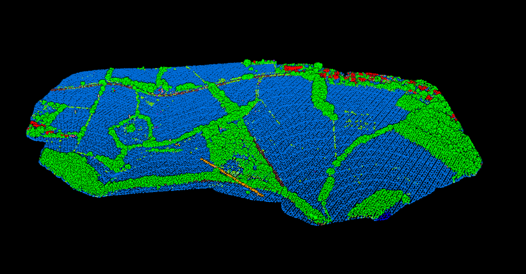
Point Cloud Classification
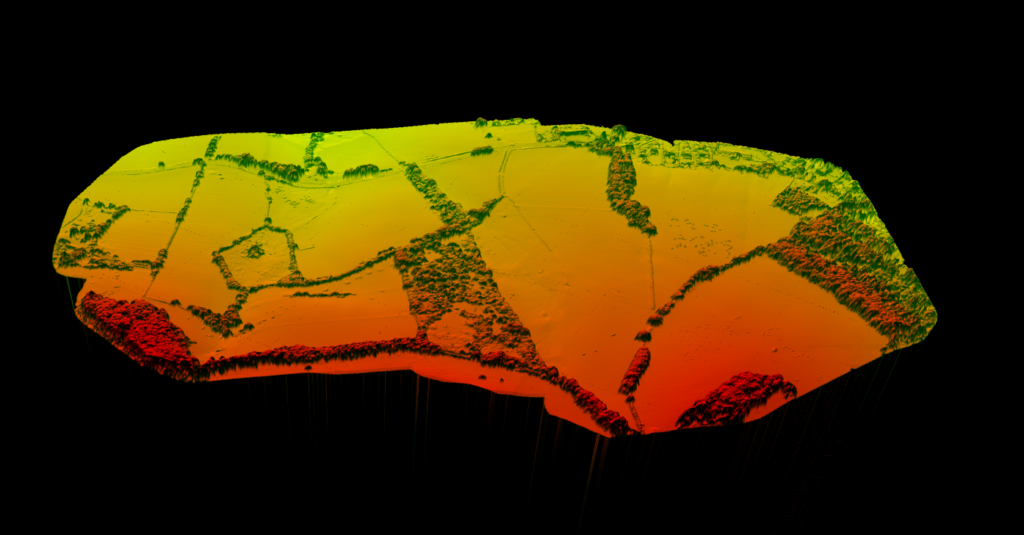
Point Cloud Rasterization
Point Cloud Vectorization
Processing API
Industry
Land Surveying
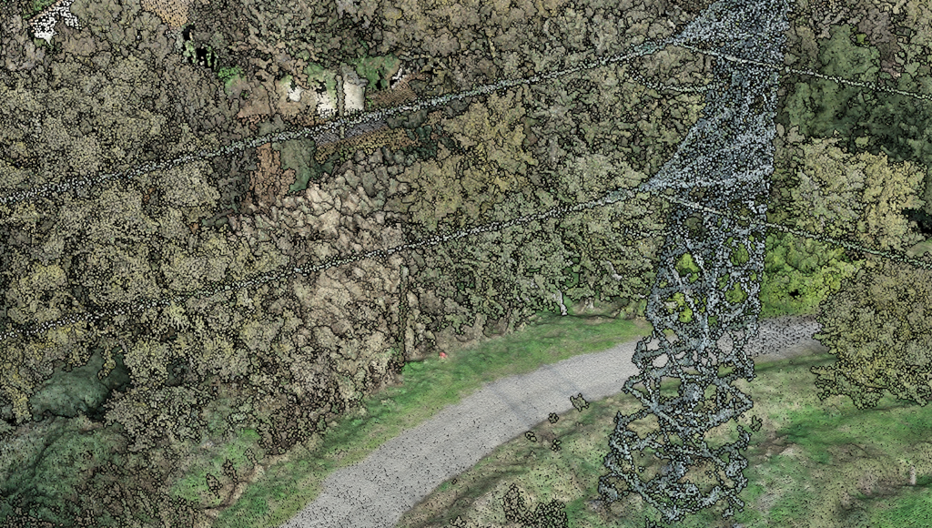
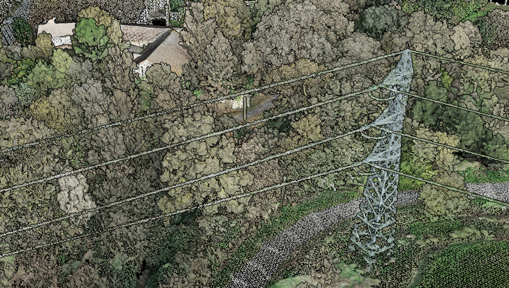
Utility Vegetation Management
Forestry
Contact
Pricing
Log in
Try for free
LiDAR Accuracy Explained: Get Survey-Grade Results Without the Complexity
Open Source LiDAR Software: Why Free Tools Fall Short on Classification
LiDAR Resolution: Complete Guide to Point Density, Spatial Resolution, and Quality Levels
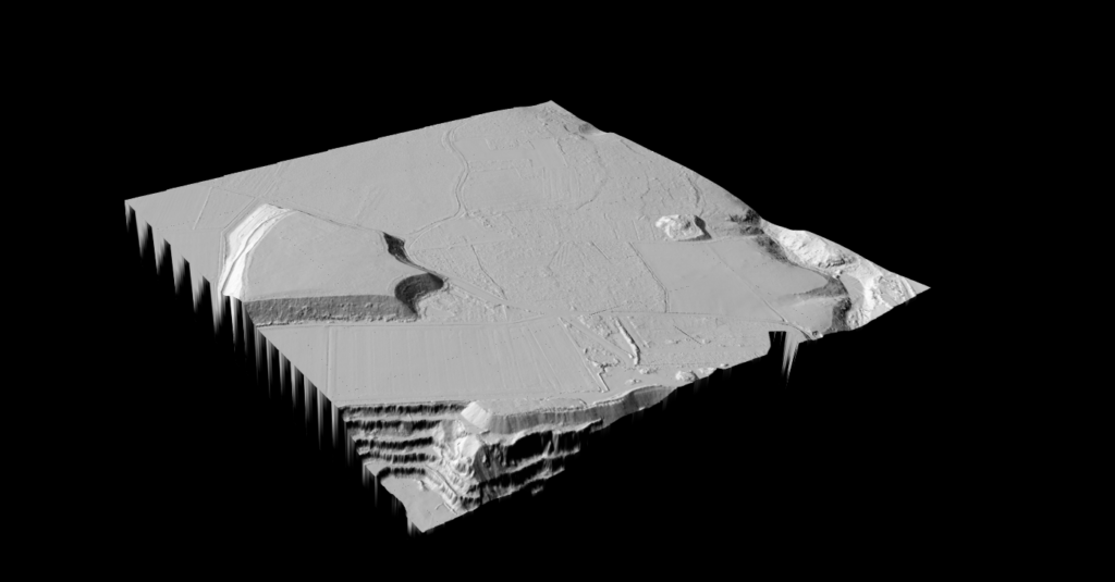
Digital Elevation Model (DEM): Complete LiDAR Guide
How Does LiDAR Work? A 5-Minute Guide to Laser Scanning
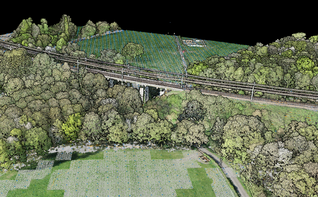
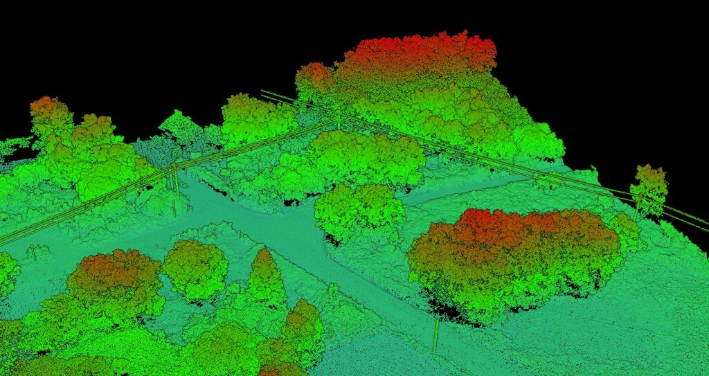
LiDAR Topography: Complete Guide to Terrain Mapping
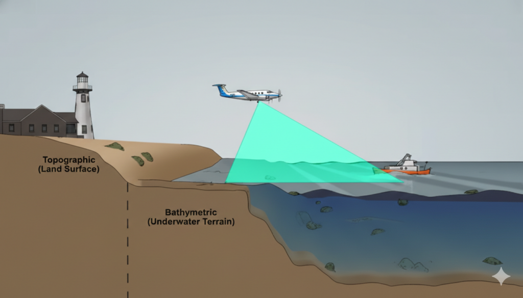
Bathymetric LiDAR: Map Underwater Terrain in Hours, Not Months
LiDAR Classification Codes: ASPRS Reference + Automatic Classification
Drone LiDAR Processing: Complete UAV Point Cloud Workflow Guide
LAS and LAZ File Format Guide: Understanding LiDAR Point Cloud Files
Previous
1
2
3
4
5
6
7
Next
Menu
This website uses cookies to improve your experience. If you continue to use this site, you agree with it.
Ok