Features
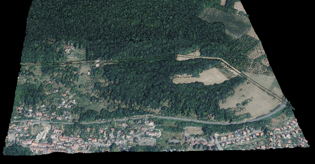
Point Cloud Viewer
Point Cloud Preprocessing
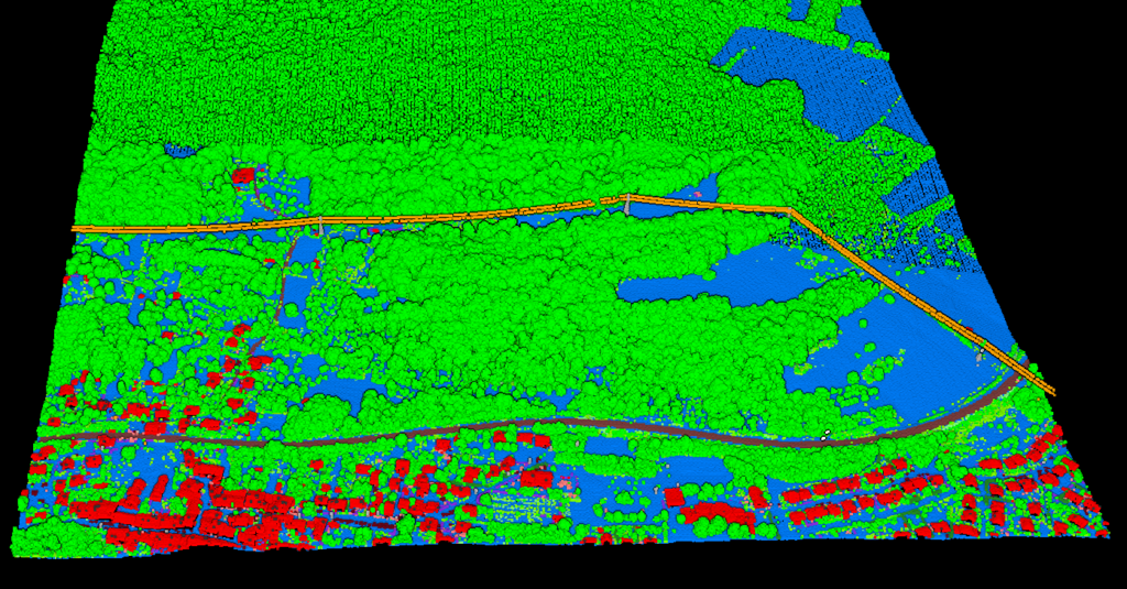
Point Cloud Classification
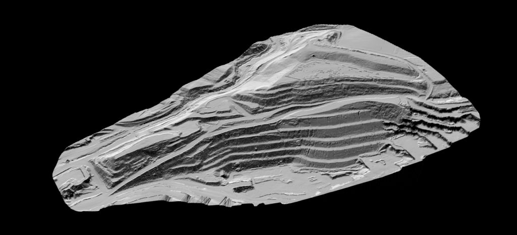
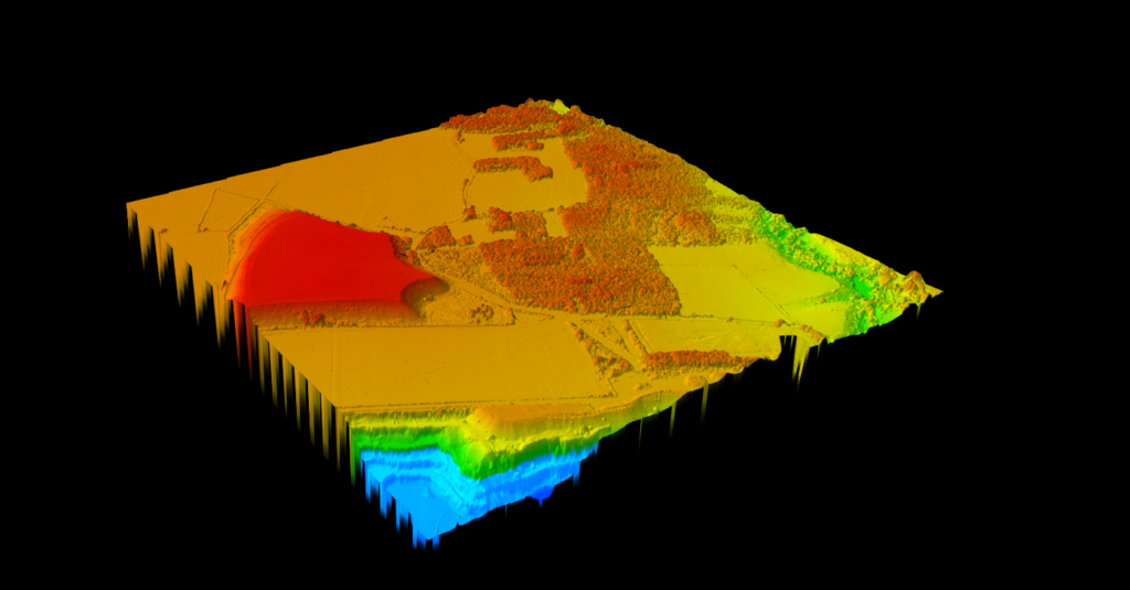
Point Cloud Rasterization
Point Cloud Vectorization
Processing API
Industry
Land Surveying
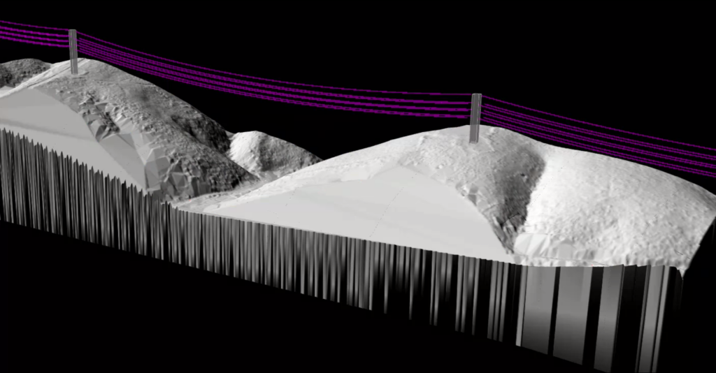
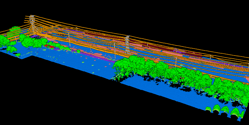
Utility Vegetation Management
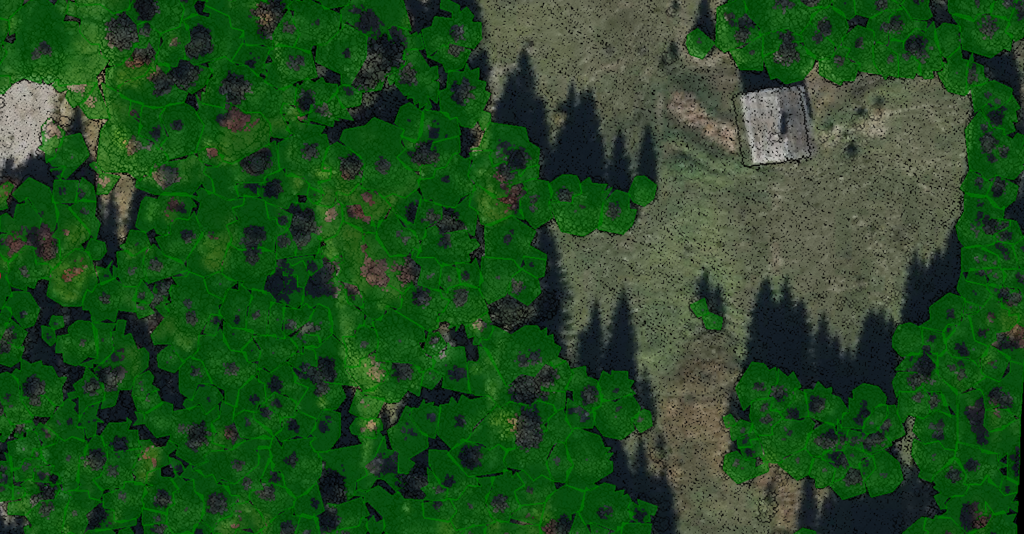
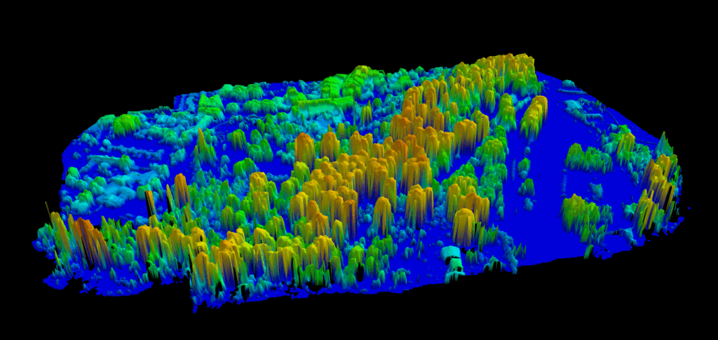
Forestry
Contact
Pricing
Log in
Try for free
LiDAR Corridor Mapping Software for Utility, Road, and Pipeline Workflows
Tree Mapping Software: LiDAR Workflows for Forestry, Urban Trees, and Utility Corridors
Forest Mapping Software: Turn Raw LiDAR Into Terrain, Canopy and Inventory Outputs
LiDAR Pole Extraction Software: Utility Pole Detection and Asset Workflow Guide
Vegetation Management Software for Utility Corridors: LiDAR Clearance Review and Export Workflows
Stockpile Inventory Software: LiDAR Workflows for Volume and Material Tracking
Power Line Inspection Software: LiDAR Workflows for Utility Corridor Review
LiDAR Change Detection Software: Compare Terrain, Vegetation, and Built Features Over Time
Digital Surface Model Software: Best LiDAR DSM Software for Surface Workflows
Point Cloud Segmentation Software for LiDAR: Trees, Buildings, and Utility Features
1
2
3
4
…
8
Next
Menu
This website uses cookies to improve your experience. If you continue to use this site, you agree with it.
Ok