
Learn LiDAR
Free Land Surveying Software: LiDAR Tools for Terrain and Topographic Workflows
A practical way to test LiDAR terrain workflows before changing your survey stack
No credit card required • 50 hectares included
If you are searching for free land surveying software, you probably do not need a brand-new CAD stack. You need a low-risk way to turn LiDAR into usable terrain outputs, review the result quickly, and decide whether the workflow belongs in your production process.
For survey teams working with drone or aerial LiDAR, the best free option is usually the one that helps you move from raw point clouds to terrain-ready review faster, then hand off cleaner data into the CAD or GIS tools you already use.
Why free land surveying software shortlists are shifting in 2026
Free land surveying software is no longer judged only by whether it opens a file. In 2026, survey teams are comparing how quickly they can review terrain, check DTM and contour quality, and move cleaner outputs into CAD or GIS without adding another heavy desktop step.
That shift matches how LP360 and ROCK Robotic are framing the category right now: QA, deliverable prep, workflow handoff, and cloud-friendly review. A free tool that only visualizes data is less useful than one that helps confirm whether a terrain surface is ready for the next survey deliverable.
What survey teams usually mean by free land surveying software
In practice, most teams mean one of four things:
- A no-cost starting point for evaluating real LiDAR data before committing budget
- A free tier for pilot jobs, internal testing, or smaller terrain workflows
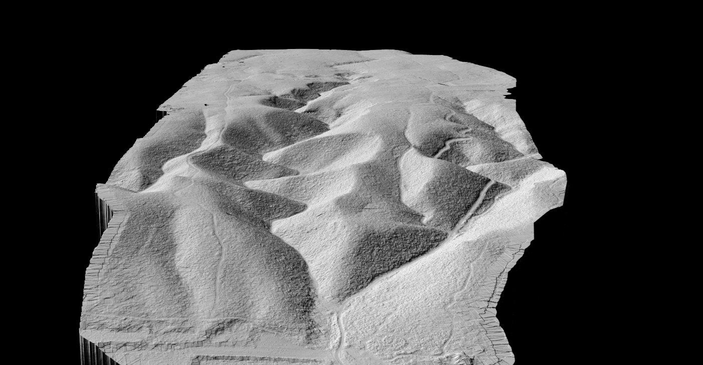
- A faster route to topographic review with terrain models, hillshade, slope, or contours
- A browser-based workflow that does not require another desktop install across the office
If your bottleneck is terrain preparation, a free viewer alone is usually not enough. Survey teams often need ground separation, terrain generation, and reviewable outputs before the final drafting step ever begins.
Where Lidarvisor fits in the workflow
Lidarvisor is not a full survey CAD package, and it should not be evaluated as one. Its strength is earlier in the workflow, where raw LiDAR becomes terrain-ready data for topographic work, review, and downstream handoff.
That matters because the time-consuming part of many survey jobs is not the last drafting step. It is the cleanup and terrain-prep work needed to get from raw point clouds to a surface your team can actually use.
On mobile: swipe horizontally to review the workflow table.
Small pilot job
Useful free option: Test the workflow on real survey data with low risk.
Where Lidarvisor fits: Free account includes one-time credits for up to 50 ha.
Terrain preparation
Useful free option: Separate ground from vegetation and structures, then generate terrain products.
Where Lidarvisor fits: Automatic classification plus terrain-model outputs for topographic review.
Browser-based review
Useful free option: Inspect results without another desktop install.
Where Lidarvisor fits: Online visualization and sharing for distributed teams.
CAD or GIS handoff
Useful free option: Move cleaned terrain outputs into the rest of the office workflow.
Where Lidarvisor fits: Download-enabled plans support exports for downstream drafting and mapping.
Free tools vs free workflow capacity
Free tool only
A viewer or lightweight GIS utility can be helpful for opening files, checking extents, or doing a quick inspection. But it often stops short of the terrain-processing work survey teams actually need for topographic deliverables.
Free workflow capacity
A more practical question is whether the free option helps your team complete enough of the LiDAR terrain workflow that you know whether it belongs in production. That is where browser review, ground extraction, terrain outputs, and downstream handoff matter more than a long feature list.
Terrain outputs that matter
What to compare before choosing free land surveying software
The best fit usually comes from workflow alignment, not software breadth.
Look closely at how the free option handles the terrain-prep steps that come before final drafting or mapping. For broader comparisons, see land surveying software, topographic survey software, and point cloud to CAD.
- Input support: start from LAS or LAZ without a messy conversion chain
- Ground extraction: separate bare earth from vegetation and structures for terrain work
- Terrain outputs: generate the products your team actually needs for review
- Downstream fit: support a clean handoff into CAD or GIS
- Training load: keep the workflow usable beyond one specialist
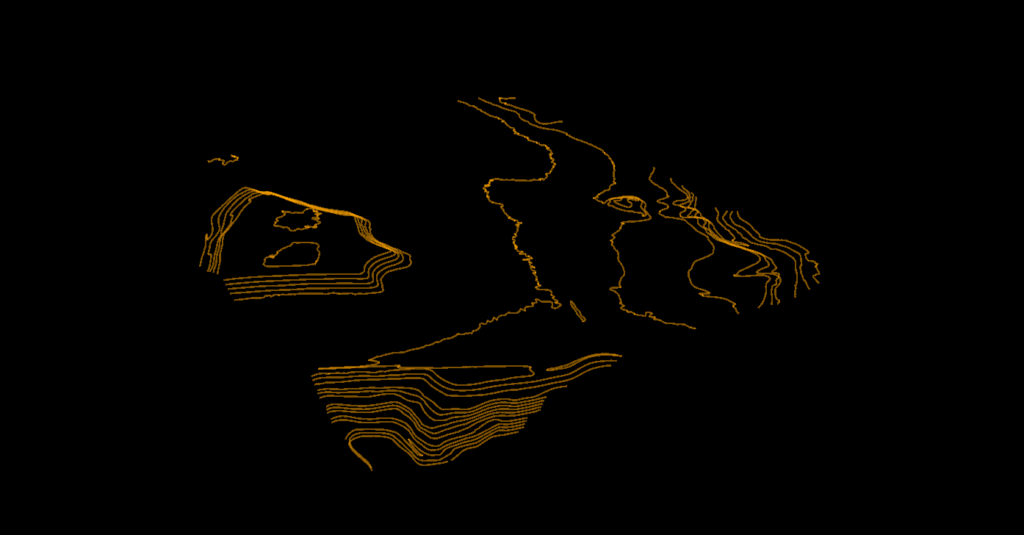
Lidarvisor is a strong fit when your office already has final drafting tools and wants to reduce friction earlier in the process. Instead of replacing the whole survey stack, it helps teams classify LiDAR, generate terrain outputs, review results in the browser, and continue into CAD or GIS with cleaner inputs.
Best fit for survey teams using LiDAR
Land Surveyors
Prepare topographic surfaces and terrain review outputs faster.
Drone LiDAR Teams
Test smaller jobs and pilot workflows without another office install.
Corridor & Site Teams
Clean up terrain prep before final drafting and deliverable production.
Consultants
Review and share browser-based terrain outputs across distributed teams.
How to evaluate free land surveying software
Input support
Can it start from LAS or LAZ data without forcing a long conversion chain first?
Ground workflow
Can it separate bare earth from vegetation and structures well enough for terrain work?
Terrain outputs
Does it create the hillshade, slope, contour, or terrain products your team actually reviews?
Downstream fit
Can the results move cleanly into your CAD or GIS workflow when the review is done?
Training load
Can the wider team use it without creating a specialist bottleneck around one desktop seat?
Data limits
Does the free tier cover a real project, or only a sample file?
Survey software evaluations are shifting away from long desktop feature lists and toward a simpler question: how quickly can a team turn captured data into reviewable deliverables. Recent 2026 geospatial coverage keeps reinforcing the same pattern, browser access, shared review, and cleaner CAD or GIS handoff matter earlier in the shortlist.
That is especially true for smaller survey firms testing a new workflow. A free land surveying software option is most useful when it helps the office validate terrain prep, team review, and downstream export without forcing a full stack change on day one.
Why free land surveying shortlists are shifting in 2026
Review speed
Can project managers and drafters inspect the terrain result quickly, without waiting on a specialist workstation?
Team handoff
Does the free workflow help field, office, and client-side reviewers stay aligned before final drafting starts?
Deliverable fit
Will the free test end with usable DTM, contour, hillshade, or slope outputs that fit the rest of the survey stack?
Frequently Asked Questions
Is there free land surveying software for LiDAR workflows?
Yes, but the useful options vary by workflow. Some free tools are best for viewing or GIS inspection. Lidarvisor is more useful when you want to evaluate an actual terrain-processing workflow from LiDAR data in the browser.
Can free software create contours from LiDAR?
It can, but contour quality depends on clean ground classification and terrain generation first. That is why terrain-prep capability matters more than a long feature list.
Does Lidarvisor replace survey CAD software?
No. Lidarvisor fits best as the LiDAR processing and terrain-prep layer before final drafting, design, and sheet production in your preferred CAD or GIS environment.
Does the free account include downloadable exports?
The free account is best for testing the workflow with one-time processing credits up to 50 hectares. Download-enabled plans support export handoff when you need files for downstream drafting and mapping.
Ready to Test a LiDAR Terrain Workflow Without Upfront Risk?
If your team wants a practical way to evaluate LiDAR terrain preparation before committing to a bigger software change, Lidarvisor is worth testing. Start free with one-time credits for up to 50 hectares, review the results in the browser, and decide whether the workflow fits your survey stack.
Create free account50 hectares free. No credit card. No software to install.