
Learn LiDAR
LiDAR for Agricultural Drainage
DTM-Based Tile Drain Design and Field Water Management
No credit card required • 50 hectares included
Effective field drainage is the difference between productive farmland and waterlogged waste. LiDAR captures centimeter-accurate terrain data across entire farms in hours, revealing the micro-topography that controls water movement.
Why Drainage Planning Needs Accurate Terrain
Water flows downhill. Even subtle elevation differences of 10-20 centimeters determine where water pools and where it drains. LiDAR captures millions of points, revealing terrain features traditional surveying misses
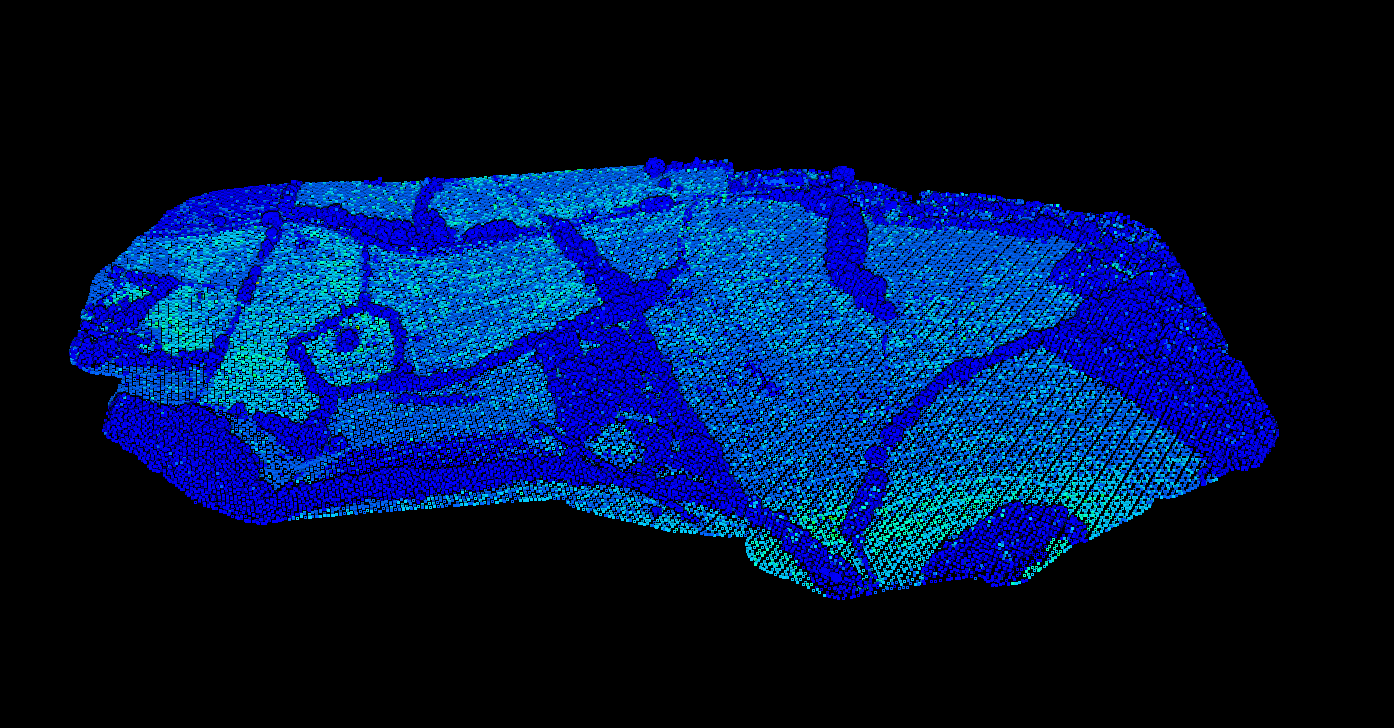
Low Spots
Where water collects after rain events
Natural Paths
Drainage routes that can be enhanced
Subtle Slopes
Affect tile drain placement and outlets
Boundaries
Hedgerows that influence water movement
Key Deliverables for Drainage Design
Digital Terrain Model
Foundation for all drainage analysis. Lidarvisor classifies ground automatically, removing vegetation and crop residue. 0.5m to 1m resolution captures critical micro-topography.
Slope Analysis
Critical for tile drainage design:
• Drain spacing calculations
• Tile sizing (steeper = smaller pipe)
• Outlet placement at lowest points
• Erosion risk identification
Contour Lines
DXF-format contours for drainage design software:
• 10-25cm intervals recommended
• Direct import to design tools
• Elevation attributes preserved
Create a FREE account now and start processing your point cloud
Get 5 GB of storage space and classify up to 50 hectares for free.
Create free account50 hectares free. No credit card. No software to install.