
Learn LiDAR
E57 Viewer Online: Review Scan Data Before LiDAR Processing
Browser-based scan review before heavier LiDAR processing starts
50 hectares included • LAS and LAZ supported
Need to review an E57 handoff fast without pulling your team into another desktop install? A browser-based point cloud review workflow can help you inspect coverage, spot obvious alignment issues, and decide whether the dataset is ready for the next step.
The key caveat is simple: not every browser viewer accepts E57 directly. Lidarvisor’s public viewer, features, and pricing pages currently document LAS and LAZ workflows, so teams working from E57 should confirm direct support or convert to a supported format before upload.
Why teams search for an E57 viewer
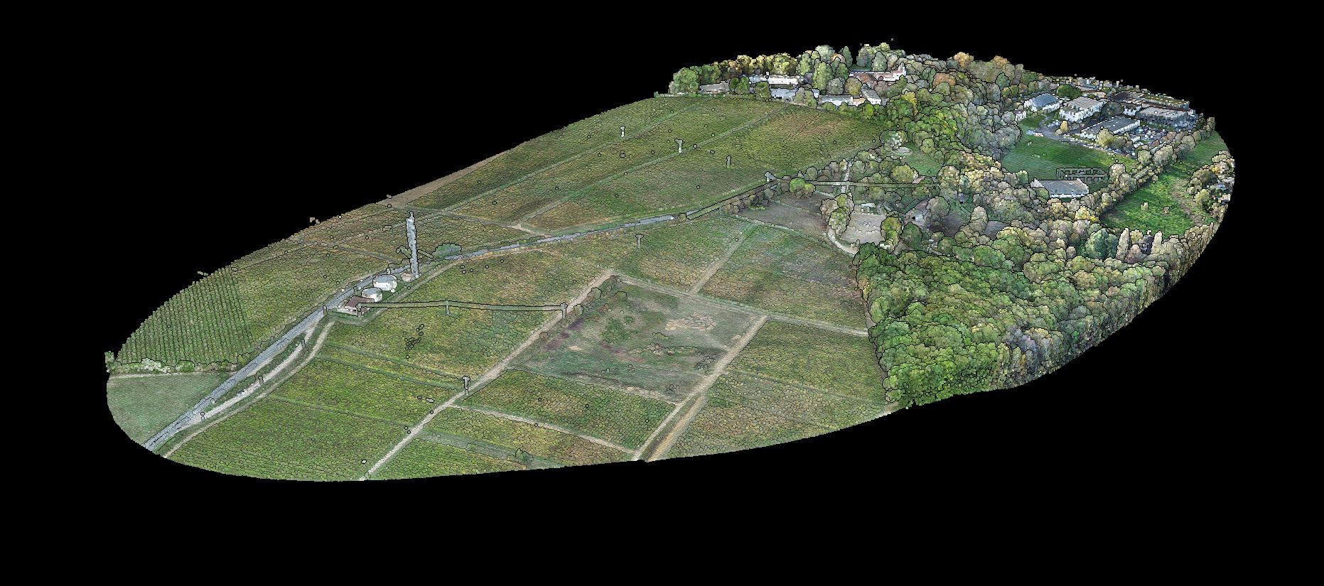
Fast browser review helps teams decide whether an incoming scan handoff is ready for the next production step.
The viewer stage is where teams catch the obvious problems early. Instead of pushing every file straight into heavier processing, they can first confirm that the capture looks complete enough for the deliverable they need.
For Lidarvisor users, the documented workflow starts once the dataset is in a supported browser-ready format. From there, teams can stay at review or move forward into classification, terrain outputs, and export-ready deliverables.
- Review scan data in a browser without another local install
- Check coverage before modeling, CAD handoff, or QA approval
- Share scan review with teammates who do not need heavy desktop software
- Decide whether the file is ready for classification, terrain extraction, or export
Where an E57 viewer fits in the workflow
Match what you need from the file to the workflow that gets you there.
| Workflow need | Best fit |
|---|---|
| Open one E57 file quickly | Confirm whether your browser tool supports E57 directly, or convert first |
| Review multiple point cloud formats in one place | Choose a browser workflow with clearly documented supported formats |
| Move from review into terrain, classification, or vector outputs | Use a viewer plus downstream LiDAR processing workflow |
Who benefits most from this workflow
Browser review is especially useful when scan stakeholders need a quick decision before full processing starts.
Teams can validate incoming data, align expectations across handoffs, and decide whether to stay in review mode or move straight into deliverable generation.
- Survey teams reviewing terrestrial scan handoff files
- Construction and reality-capture teams checking site documentation
- Utility and infrastructure teams validating corridor or asset scans
- Geospatial teams that need a quick browser checkpoint before export
What a browser review confirms
Coverage
Coverage gaps or partial scan areas
Alignment
Noise, alignment, or registration issues visible in review
Output Fit
Whether the capture looks suitable for DTM, DSM, contour, or extraction work
Next Step
Whether the job needs browser review only or full processing next
From E57 review to usable outputs

Review is only valuable if it helps you make a clean next-step decision.
If the file passes review, the next step is usually not just viewing. Teams often need to turn that scan into something usable for survey, GIS, forestry, or utility workflows.
If the dataset starts in E57, confirm whether the chosen tool accepts it directly or whether conversion to LAS or LAZ is the cleaner production path.
Lidarvisor fits best when the workflow moves from browser review of supported point cloud data into classified outputs, terrain models, and export-ready deliverables.
- Stay at review when a quick QA checkpoint is enough
- Convert E57 first when the browser workflow documents LAS or LAZ support instead
- Move forward into terrain, classification, and export-ready deliverables once the scan passes
What to check before converting E57 to LAS or LAZ
If your browser workflow starts with E57 but your downstream toolchain is documented around LAS or LAZ, a quick pre-conversion check helps avoid preventable QA friction.
- Confirm whether color, intensity, and coordinate information need to survive the handoff
- Spot incomplete rooms, scan shadows, or obvious registration problems before conversion hides the real issue
- Decide whether the job only needs browser review or full terrain, classification, or export work after conversion
- Keep the review step lightweight so teammates can approve the handoff before heavier processing starts
Not sure what a file already contains? The free LAS and LAZ file inspector reads the header, coordinate system and classification breakdown in your browser.
Frequently Asked Questions
Can I open E57 in a browser viewer directly?
Not every browser viewer accepts E57 directly. Confirm direct support first, or convert to a clearly supported format before upload.
Why is browser review useful before processing?
Browser review helps teams inspect coverage, spot visible alignment issues, and decide whether a dataset is ready for classification, terrain generation, or export.
Who benefits most from this workflow?
Survey teams, construction and reality-capture teams, utility and infrastructure groups, and geospatial teams all benefit when they need a fast checkpoint before full processing.
What comes after the viewer stage?
Once the scan passes review, teams typically move into classification, terrain outputs, and export-ready deliverables. If the workflow starts in E57, conversion to LAS or LAZ may be the cleaner production path when direct support is not documented.
Ready to Start With Browser-Based Review?
Review supported point cloud data in the browser, catch the obvious issues early, and move into terrain, classification, or export workflows with more confidence. If you are working from E57, confirm direct support first or convert to LAS or LAZ before upload.
Create free account50 hectares free. No credit card. LAS and LAZ supported; convert E57 before upload.