
Learn LiDAR
Topographic Survey Software: LiDAR Workflows for DTM, Contours and CAD Handoffs
LiDAR workflows for DTM, contours and CAD handoffs
No credit card required • 50 hectares included
Topographic survey software should help survey teams move from raw LiDAR to a clean DTM, contours, slope maps, and CAD/GIS-ready exports without burning hours on desktop cleanup before handoff.
If your workflow stalls between ground classification, terrain QA, and export, the problem usually is not the data. It is the software chain.
This guide shows what to look for and where Lidarvisor fits when you need reviewable terrain deliverables faster.
What topographic survey software should actually help you deliver
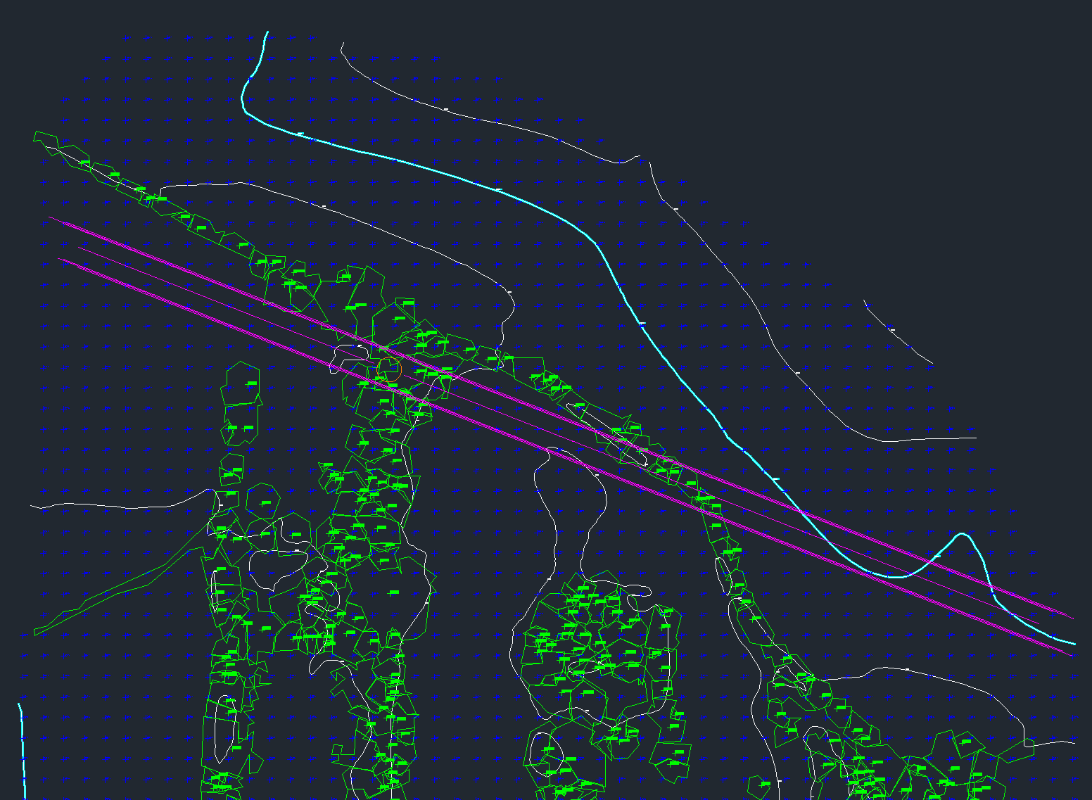
For LiDAR-based topographic work, useful software should help you:
- separate ground from vegetation, buildings, vehicles, and temporary noise
- create a reliable digital terrain model (DTM) for mapping and drafting
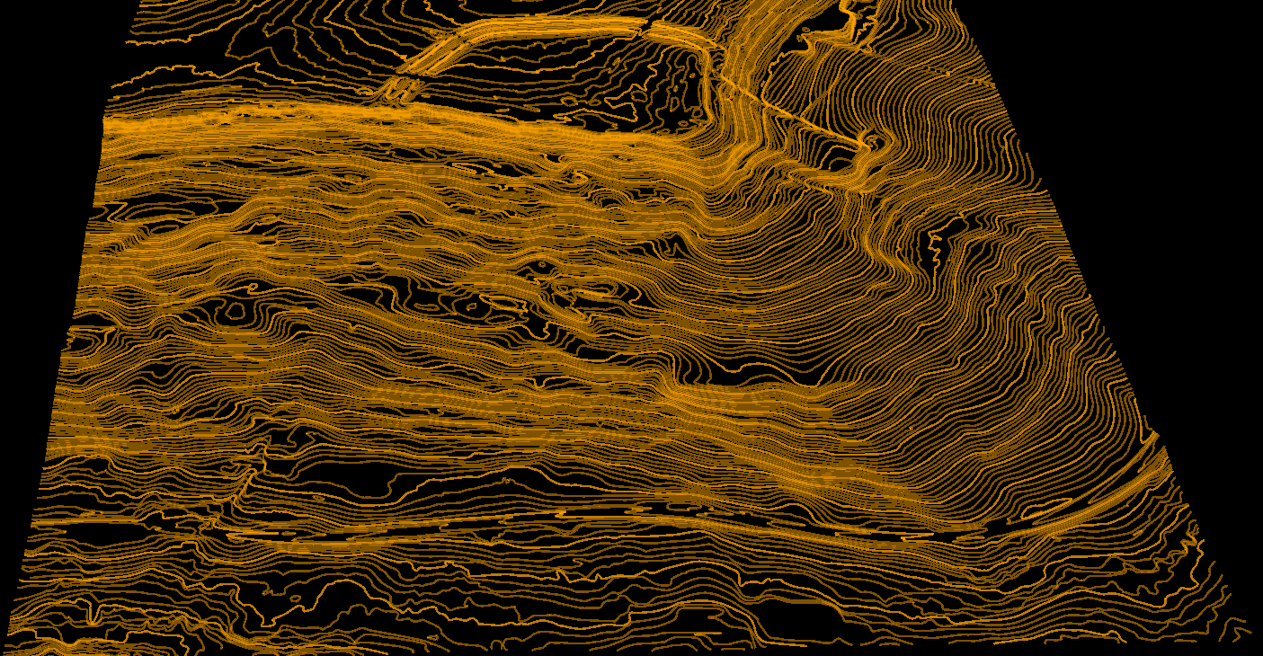
- generate contour lines that fit project scale and terrain relief
- check steep areas with slope maps and hillshade views before delivery
- export GeoTIFF rasters, DXF or SHP vector layers, GeoJSON, and LAS or LAZ point clouds for downstream CAD handoff and GIS workflows
- share browser-based review with project managers, engineers, or clients when a desktop install would slow feedback down
A viewer alone is not the same thing as production-ready topographic software. The handoff only gets easier when terrain generation, QA, and export all work together.
A quick topographic survey software checklist
- Ground model quality: Can you inspect whether vegetation, vehicles, and bridge decks are being kept out of the bare-earth terrain before contours are generated?
- Terrain outputs: Can the workflow produce DTM, DSM, hillshade, and slope products from the same project without extra desktop cleanup?
- Vector handoff: Can you export contours, gridded points, and mapped features into DXF, SHP, or GeoJSON for survey and CAD teams?
- Review speed: Can engineers or PMs review the terrain in a browser instead of waiting for a desktop install or giant local file transfer?
- Repeatability: Can the same workflow be reused across corridor, construction, drainage, and land development jobs without rebuilding the stack every time?
That checklist matters because topographic survey software is rarely judged on one screenshot. It is judged on whether the terrain is clean enough for the next person in the handoff chain to trust it.
Where topographic workflows usually slow down
Too much manual cleanup
vegetation, buildings, vehicles, and temporary clutter leak into the ground surface and create rework later.
Weak terrain QA
teams can generate a surface, but still struggle to review whether contours, slopes, and hillshade outputs are ready for handoff.
Export mismatch
the software may visualize terrain well but still create friction when CAD or GIS teams need usable deliverables.
Review bottlenecks
desktop-only workflows make it harder to share progress with project managers, clients, and partner firms.
A practical LiDAR-to-topographic workflow
Before handing files to CAD or GIS, teams usually need a quick QA pass across the terrain outputs and export path
Upload LiDAR data
Start with LAS or LAZ files from aerial, drone, or mobile capture.
Classify ground points
Separate bare earth from vegetation, buildings, water, and above-ground infrastructure.
Generate terrain outputs
Build the DTM, then create contours, slope, and hillshade deliverables as needed.
Review the terrain surface
Check whether the bare-earth model and contour behavior look usable before delivery.
Export for handoff
Send GeoTIFF, DXF, SHP, GeoJSON, LAS, or LAZ outputs to CAD, GIS, or engineering teams.
Share with the team
Give reviewers and clients browser access to the same project, with no software to install.
| Workflow step | What to confirm | Why it matters |
|---|---|---|
| Ground classification | Non-ground features stay out of the bare-earth model | Cleaner terrain inputs reduce contour and elevation errors downstream |
| DTM creation | The terrain surface looks stable across vegetated and built-up areas | Topographic plans depend on a usable bare-earth model |
| Contour generation | Contour intervals and line behavior fit project scale | Survey and CAD teams need deliverables they can draft from with less cleanup |
| Slope and hillshade review | Steep terrain and breaklines are easy to inspect visually | QA is faster when issues appear before export |
| CAD and GIS handoff | Exports fit the downstream team’s existing workflow | Good software should reduce handoff friction, not move it downstream |
Survey scenarios buyers compare most often
Most buyers compare software based on the handoff they need to make. The common scenarios are road and corridor surveys, terrain review in mixed vegetation, drainage interpretation, and lightweight CAD delivery for downstream drafting.
This is where browser-based review helps. Survey managers, CAD technicians, and clients can inspect the terrain package earlier, which reduces the risk of finding contour or slope issues only after export.
| Survey scenario | What the team needs | Relevant Lidarvisor outputs |
|---|---|---|
| Road and corridor topographic surveys | Clean ground surface, visual terrain QA, and exports that drafting teams can pick up quickly | DTM, contour lines, slope map, hillshade, DXF, SHP, GeoJSON, LAS |
| Baseline and land-development surveys | Stable bare-earth modeling across vegetated and built-up areas before CAD handoff | Ground classification, DTM, contours, GeoTIFF, DXF |
| Drainage and flowline review | Fast visual QA of slope direction and terrain behavior before engineers work from the surface | Slope map, hillshade, DTM, contour overlays |
| Planimetric plus terrain packages | Terrain context alongside extracted features for broader survey deliverables | Building footprints, contour lines, power line vectors, terrain rasters |
Viewer only
A viewer alone is not the same thing as production-ready topographic software. The handoff only gets easier when terrain generation, QA, and export all work together.
Lidarvisor
Lidarvisor is a strong fit when your team needs to classify, review, and export terrain outputs without pushing every stakeholder into a heavy desktop workflow. Instead of stopping at visualization, the platform supports the steps survey teams care about before handoff: browser-based review, terrain generation, and export-ready deliverables.
Why survey teams choose Lidarvisor for terrain handoff
Upload LAS or LAZ
Upload LAS or LAZ data for browser-based review
Generate terrain
Create DTM, contour, slope, and hillshade outputs
Export for handoff
Export GeoTIFF, DXF, SHP, GeoJSON, LAS, or LAZ for downstream CAD, GIS, or engineering teams
Best-fit projects
Land development
topographic surveys for land development and corridor planning
Utilities
utility and infrastructure mapping where terrain and asset context both matter
Pre-design packages
construction pre-design packages that need contours, slope review, and surface QA
Large aerial projects
larger aerial LiDAR projects where teams want faster review than desktop-only workflows provide
Questions to ask before choosing topographic survey software
- Can it generate a clean DTM from classified LiDAR instead of just showing a point cloud?
- Can it export contour lines, terrain rasters, and point clouds in the formats your CAD or GIS team already uses?
- Can non-specialists review outputs without installing a heavy desktop tool?
- Does the workflow support both terrain interpretation and downstream handoff?
- Will the software reduce cleanup time, or just move cleanup to the next team?
Topographic survey software is software that helps survey and mapping teams convert LiDAR or other elevation inputs into reviewable terrain deliverables such as a digital terrain model (DTM), contours, slope maps, and CAD or GIS-ready exports.
A citable definition for topographic survey software
| Deliverable | Why survey teams need it |
|---|---|
| DTM | Creates a clean bare-earth surface for design, drainage, and engineering review. |
| Contours | Turns the terrain surface into map-ready linework for plan sets and drafting. |
| Slope and hillshade | Helps teams catch steep breaks, noisy terrain behavior, and missed classification issues before handoff. |
| DXF, SHP, GeoJSON, GeoTIFF, LAS or LAZ exports | Keeps the handoff usable for CAD, GIS, and downstream project teams. |
FAQ
What is the difference between topographic survey software and a point cloud viewer?
A point cloud viewer helps you inspect LiDAR data. Topographic survey software should go further by supporting ground classification, terrain generation, contour creation, QA, and CAD or GIS handoff.
What outputs matter most for topographic survey work?
Most teams care about a clean DTM first, then contour lines, slope or hillshade outputs for QA, and export-ready files such as GeoTIFF, DXF, SHP, GeoJSON, LAS, or LAZ.
Can browser-based software still work for survey deliverables?
It can, if the workflow covers more than visualization. The key question is whether the platform supports terrain generation, quality review, and exports that your downstream team can actually use.
Is aerial or mobile LiDAR better for topographic surveys?
It depends on the project. Aerial LiDAR is often a strong fit for larger sites and corridors, while mobile capture can fit road, rail, or utility work where detailed ground context matters along a route.
Ready to streamline your topographic LiDAR handoff?
Create your free account and test up to 50 hectares so your team can review terrain outputs, check QA, and export DTM, contour, slope, and CAD-ready deliverables faster.
Create free account50 hectares free. No credit card. No software to install.