Infrastructure
• Bridge & Road Inspection
• Powerline Extraction
• Construction
Related Industry Applications
Natural Resources
• Forest Inventory
• Forest Guide
• Vegetation Management
Geospatial
• Surveying
• Terrain Mapping
• Archaeology
Why LiDAR Matters for Solar
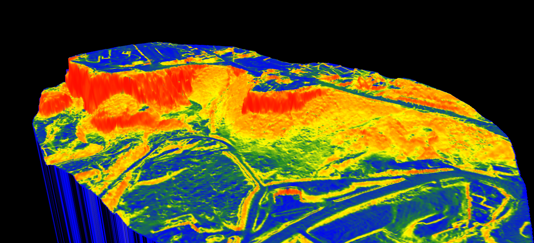
Solar panel efficiency depends heavily on terrain characteristics. LiDAR captures terrain data at centimeter-level accuracy across entire project areas in a single flight, penetrating vegetation to reveal true ground surface.
Key Deliverables for Solar Assessment
Digital Terrain Model (DTM)
The DTM reveals:
• Natural drainage patterns — identify where water will flow and pool
• Elevation changes — calculate cut/fill volumes for grading
• Foundation requirements — spot areas needing special treatment
Lidarvisor generates DTM rasters at your chosen resolution, typically 0.5m to 1m for utility-scale solar.
Slope Maps
Slope analysis is critical for solar sites:
• 0-5° slopes — Ideal for fixed-tilt ground-mount systems
• 5-10° slopes — Suitable with single-axis trackers
• 10-15° slopes — May require grading or special racking
• >15° slopes — Generally excluded from development
Additional Products
Contour Lines
DXF-format contours for grading design in Civil 3D or AutoCAD.
Hillshade Visualization
Terrain shading reveals subtle features like old drainage patterns and potential obstacles.
Vegetation Classification
Identify clearing requirements before site preparation begins.
Create a FREE account now and start processing your point cloud
Get 2 GB of storage space and classify up to 10 hectares for free.