Infrastructure
• Bridge & Road Inspection
• Powerline Extraction
• Solar Assessment
Related Industry Applications
Natural Resources
• Forest Inventory
• Forest Guide
• Vegetation Management
Geospatial
• Surveying
• Terrain Mapping
• Archaeology
Why Construction Needs LiDAR
Traditional surveying methods take days or weeks for large sites. LiDAR changes this equation fundamentally—a single drone flight captures millions of elevation measurements in hours.
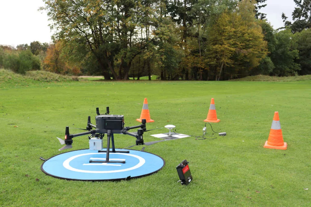
Drone LiDAR survey captures comprehensive site data in hours
Key LiDAR Outputs for Construction
Digital Terrain Model (DTM)
The DTM represents the bare-earth surface with vegetation and temporary objects removed. Use DTMs for:
• Existing conditions documentation
• Cut/fill volume calculations against design surfaces
• Drainage analysis and water flow modeling
• Foundation and footing elevation planning
Slope Analysis
Slope maps reveal terrain steepness across the site:
• Identifying areas requiring retaining walls
• Planning access roads and equipment routes
• Assessing erosion risk during construction
• Determining buildable vs. constrained areas
Contour Lines
LiDAR-derived contours offer:
• Sub-meter intervals for detailed grading plans
• Direct CAD import via DXF format
• Major and minor contour differentiation
• Accuracy that matches engineering specifications
Building Footprints
For renovation or infill projects:
• Exact positions of existing buildings
• Roof heights and configurations
• Setback distances for new construction
• Demolition scope documentation
Construction Applications
Pre-Construction Site Assessment
Before breaking ground, comprehensive terrain data informs feasibility studies, preliminary grading estimates, drainage planning, and access routing.
Earthworks and Grading
Earthworks represent one of construction’s largest cost variables. Accurate terrain data directly impacts profitability through precise cut/fill calculations.
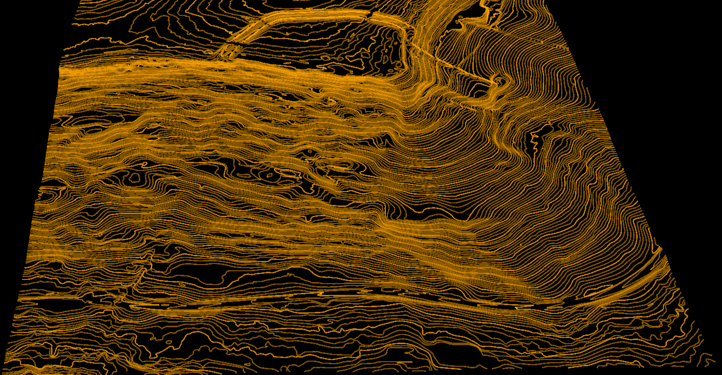
Dense contour lines derived from LiDAR for construction grading plans
Create a FREE account now and start processing your point cloud
Get 2 GB of storage space and classify up to 10 hectares for free.