
Learn LiDAR
LiDAR Technology Trends 2026: 8 Changes Shaping Surveying and Mapping
LiDAR workflows are changing quickly in 2026.
No credit card required • 50 hectares included
Lighter sensors, NDAA-driven procurement requirements, cloud processing, faster AI-assisted classification, and mobile-to-office review pressure are reshaping how survey, utility, forestry, and mapping teams move from raw point clouds to deliverables.
Hardware Advances
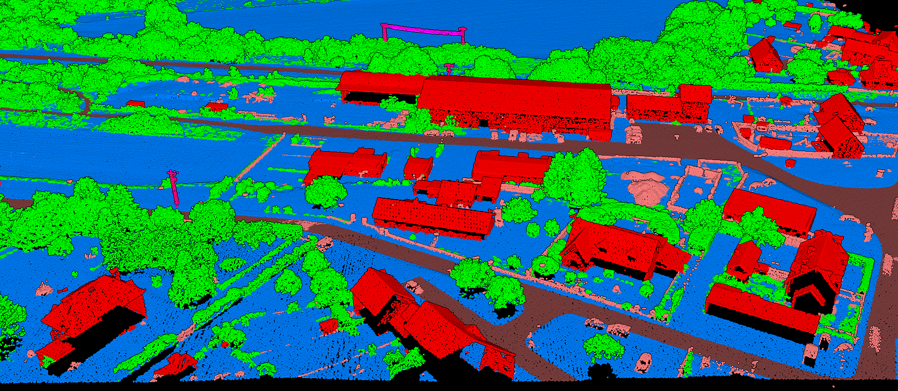
Drone-mounted LiDAR has exploded in adoption, bringing aerial surveying to operators who could never afford manned aircraft. Sensors continue getting lighter, more accurate, and denser — modern systems capture over 100 points per square meter.
Single-photon and Geiger-mode LiDAR cover vast areas at unprecedented speed, enabling regional and national mapping programs. Multispectral sensors add wavelength diversity, improving vegetation analysis and material classification.
Automotive LiDAR development is driving costs down further. Technologies designed for autonomous vehicles are finding their way into survey-grade systems, benefiting from massive R&D investments and economies of scale.
Software Evolution
Cloud-native formats like COPC (Cloud-Optimized Point Cloud) enable streaming of massive datasets without downloading entire files. Users can visualize and query billion-point datasets through a web browser.
AI handles processing tasks that once required specialized expertise. The barrier to entry keeps dropping — you no longer need a GIS degree or expensive desktop software to extract value from LiDAR data.
Cloud Processing
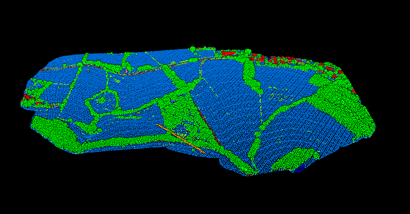
No expensive workstations needed. Process terabytes of data in the cloud.
AI-Powered
Machine learning automates classification and feature extraction.
Web-Based
Visualize billion-point datasets directly in your browser.
Emerging Applications
- Autonomous Vehicles — Real-time LiDAR navigation for self-driving cars
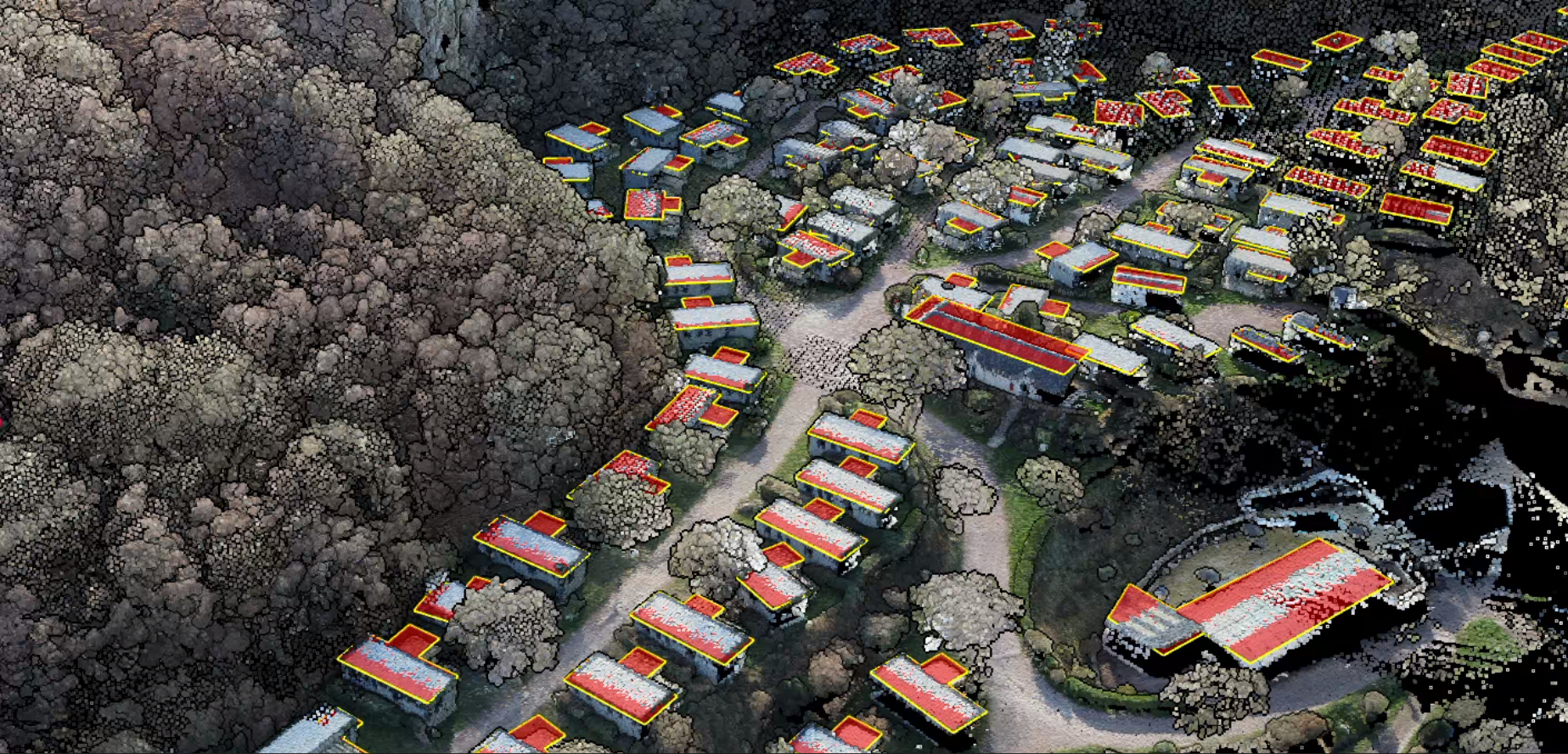
- Digital Twins — Cities building 3D models from repeated scans
- Carbon Credits — Forest biomass and carbon stock estimation. Lidarvisor now offers per-tree carbon calculation with more than 100 species-specific and regional allometric models across 8 global regions.
- Archaeology — Discovering hidden structures beneath vegetation
Mobile and SLAM workflows are making handoff speed a real buying factor
One of the clearest 2026 shifts is not just sensor choice. It is what happens after capture.
Handheld, backpack, vehicle, and corridor LiDAR teams are collecting more data outside the traditional aerial-survey workflow, which means more projects need a faster way to review coverage, flag issues, and hand point clouds to the next team without a long desktop setup step.
That is why browser review, lighter QA loops, and export-ready processing are showing up together in more software shortlists. The workflow pressure is practical: confirm the scan, clean the point cloud, generate terrain or surface outputs, extract needed features, and keep the handoff moving.
For Lidarvisor’s core audience, this trend matters because the value is not only in capture. It is in shortening the path from field collection to DTM, DSM, contours, slope maps, building footprints, tree outputs, poles, or CAD and GIS-ready exports.
What buyers are optimizing for
Faster browser review, cleaner QA handoff, and fewer format bottlenecks between capture teams and downstream deliverables.
Ready to Join the LiDAR Revolution?
Experience the future of LiDAR processing today. Upload your point cloud data and get professional results without expensive software or specialized training.
Create free account50 hectares free. No credit card. No software to install.