
Tutorials
How to Download Free LiDAR Data from swisstopo (Switzerland)
Step-by-Step Tutorial
No credit card required • 50 hectares included
The Swiss Federal Office of Topography (swisstopo) provides one of Europe’s most precise LiDAR datasets through swissSURFACE3D. This guide shows you how to download high-resolution point cloud data covering all of Switzerland — completely free and without registration.
swissSURFACE3D models all natural and man-made objects of the surface of Switzerland in the form of a classified point cloud. Collected by airborne LiDAR between 2017–2024, these high-accuracy and high-density data cover the entire country including Liechtenstein.
What is swissSURFACE3D?
Complete Coverage
Entire Switzerland + Liechtenstein covered. 1 km² tiles with millions of points per tile. Point density: ~15–20 points/m² typical.
Classified Points
Pre-classified into ground, vegetation, buildings, water, and bridges. Available in LAZ (compressed) and Cloud Optimized Point Cloud (COPC) formats.
Open Data
Free under Open Government Data (OGD) Switzerland license. No registration required. Commercial and non-commercial use permitted.
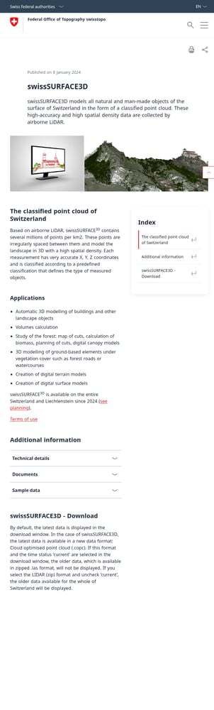
swisstopo.admin.ch/en/height-model-swisssurface3d
This official page provides complete product documentation and an embedded download widget. No account or registration required — downloads are completely free.
Alternative access:
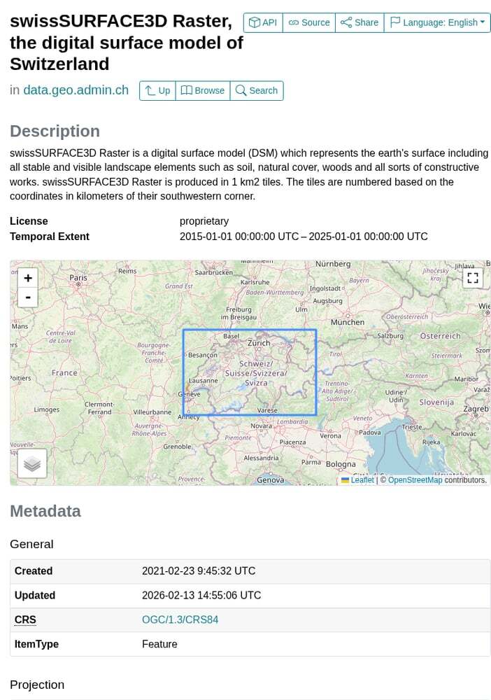
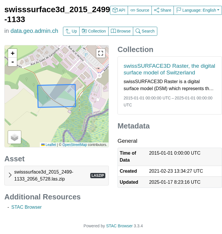
- Direct STAC browser: data.geo.admin.ch/browser
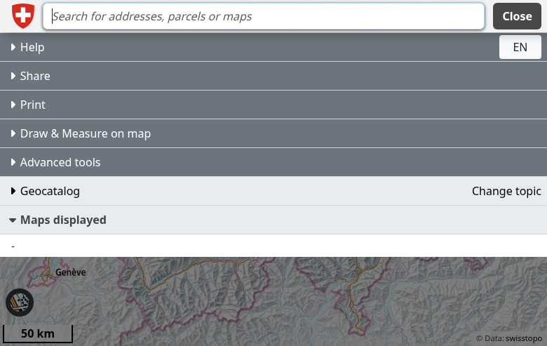
- Preview on map: map.geo.admin.ch
- Selection by click — Click individual 1 km² tiles on the map
- Selection by rectangle — Draw a box around your area
- Selection by polygon — Draw a custom shape
- Selection by canton — Download an entire Swiss canton
- Selection by municipality — Download a specific commune
- Entire data set — Download all of Switzerland (very large!)
Tip: For small areas, “Selection by click” is quickest. For project sites, use rectangle or polygon.
Access the swisstopo Product Page
Navigate to the swissSURFACE3D product page on the swisstopo website:
Choose Your Selection Mode
Scroll down to the download widget on the product page. Use the Selection mode dropdown to choose how to select your area:
Format:
- Cloud Optimized Point Cloud (COPC) — Latest format, efficient for streaming/viewing
- LIDAR (ZIP) — Traditional LAZ in ZIP archive, best for processing
Coordinate system: LV95 (Swiss national grid, EPSG:2056)
Time status:
- Check “Current” for the latest data only
- Uncheck to access historical captures (2017–2024)
Important: COPC format with “Current” checked shows only the newest data. To access the full historical archive in LAZ format, select “LIDAR (ZIP)” and uncheck “Current”.
- Select your area on the map using your chosen selection mode
- Click the “Search” button
- A results list appears with matching tiles
- Click individual download links, or use “Download All” for a link list
File naming convention:
swisssurface3d_2023_2600-1200_2056_5728.las.zip
- 2023 — Capture year
- 2600-1200 — Tile coordinates (km from origin)
- 2056 — EPSG code (LV95)
- 5728 — Height reference (LN02)
Configure Format and Time Options
Before searching, configure the Options panel:
Search and Download Your Tiles
After configuring your options:
Available File Formats
swisstopo LiDAR data is available in modern point cloud formats optimized for different workflows
| Format | Type | Best For |
|---|---|---|
| COPC | Cloud Optimized Point Cloud | Web streaming, quick visualization, modern workflows |
| LAZ (ZIP) | Compressed LAS | Traditional processing, DEM generation, analysis software |
| swissSURFACE3D Raster | GeoTIFF DSM | Pre-generated 0.5m DSM raster (separate product) |
| swissALTI3D | GeoTIFF DTM | Pre-generated 0.5m DTM (separate product) |
Tips for Downloading Swiss LiDAR
Alpine Terrain
Switzerland’s mountainous terrain means highly variable point density. Valleys may have 20+ pts/m² while steep alpine areas may have 5–10 pts/m². Plan processing accordingly.
Swiss Coordinate System
All data uses EPSG:2056 (LV95) with heights in LN02 (Landesnivellement 1902). This is the official Swiss reference system. Transform if combining with WGS84 data.
Pre-classified Data
swissSURFACE3D points are pre-classified: Ground (2), Low vegetation (3), Medium vegetation (4), High vegetation (5), Building (6), Water (9), Bridge (17). Extract specific classes directly.
Related Products
swisstopo also offers swissALTI3D (0.5m DTM) and swissSURFACE3D Raster (0.5m DSM). These pre-generated rasters save processing time if you don’t need point clouds.
Frequently Asked Questions
Is swisstopo LiDAR data free to use commercially?
Yes! Since 2021, swisstopo geodata including swissSURFACE3D is released as Open Government Data (OGD) under Swiss federal law. This permits both commercial and non-commercial use without cost. Source attribution to swisstopo is appreciated but not legally required.
What’s the difference between swissSURFACE3D and swissALTI3D?
swissSURFACE3D is the raw classified point cloud from LiDAR surveys — it contains all returns including vegetation, buildings, and ground. swissALTI3D is a pre-generated Digital Terrain Model (DTM) at 0.5m resolution showing only the bare earth surface. Use swissSURFACE3D for custom analysis; use swissALTI3D if you just need elevation rasters quickly.
What accuracy can I expect from Swiss LiDAR?
swissSURFACE3D offers excellent accuracy: ±10 cm vertical (1 sigma) in flat terrain and ±20–30 cm in steep alpine areas. Horizontal accuracy is typically ±20 cm. The data undergoes rigorous quality control by swisstopo before publication. This precision supports cadastral applications, flood modeling, and engineering projects.
What software can open Swiss LAZ files?
Free options:
- CloudCompare — Excellent open-source point cloud viewer and processor
- QGIS + LAStools — Open-source GIS with point cloud plugins
- Potree — Browser-based point cloud viewer
Commercial options:
- Lidarvisor — Cloud-based visualization, classification, and export
- Global Mapper — Comprehensive GIS with strong LiDAR support
- ArcGIS Pro — Industry-standard GIS platform
- Terrasolid — Professional LiDAR processing suite
How recent is the Swiss LiDAR data?
swisstopo completed the initial nationwide survey (swissSURFACE3D v1) between 2017–2024. Since 2024, they have begun a continuous update program capturing approximately 1/7 of Switzerland each year on a rolling basis. Check the Time status filter in the download widget to see available capture years for your area. The latest data is always marked as “Current”.
More Free LiDAR Data Tutorials
Explore our complete collection of free LiDAR data download tutorials
Western Europe
• France IGN • Germany NRW • Germany Bavaria • Netherlands AHN
Global Portals
Ready to Process Your Swiss LiDAR Data?
Upload your downloaded swisstopo LAZ files to Lidarvisor for instant visualization, classification, and export. No installation required — 5 GB free storage included.
Create free account50 hectares free. No credit card. No software to install.