Features
Point Cloud Viewer
Point Cloud Preprocessing
Point Cloud Classification
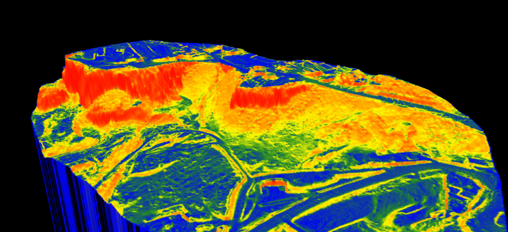
Point Cloud Rasterization
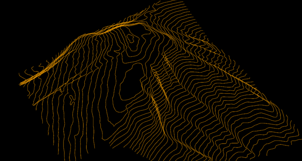
Point Cloud Vectorization
Processing API
Industry
Land Surveying
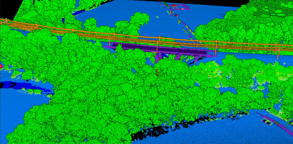
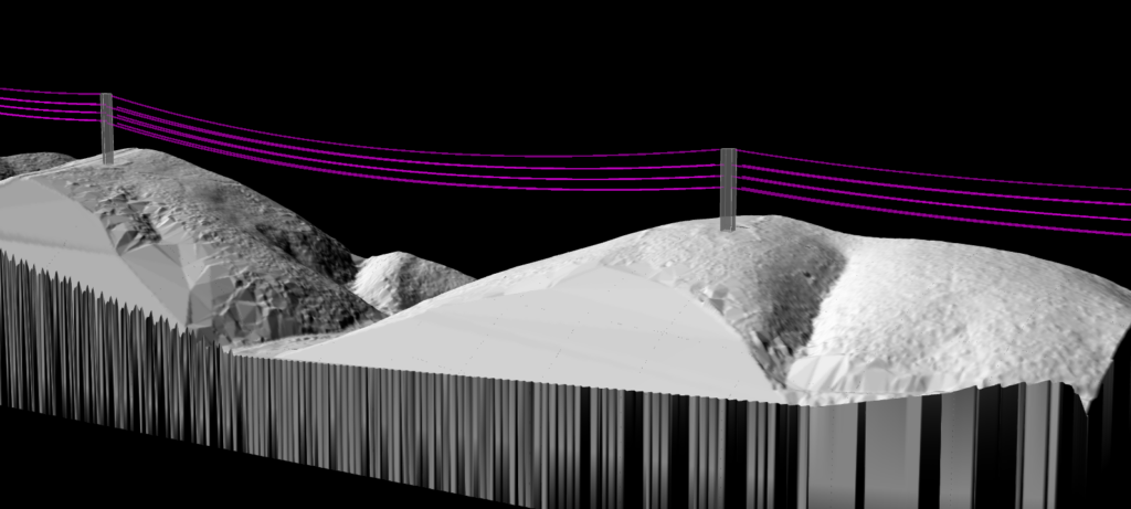
Utility Vegetation Management
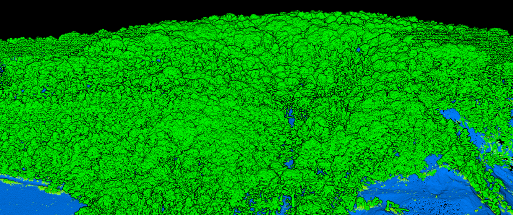
Forestry
Contact
Pricing
Log in
Try for free
LiDAR for Construction: Terrain Analysis for Site Planning & Earthworks
LiDAR for Surveying: From Raw Point Clouds to CAD Deliverables in Minutes
Slope Map Applications: How Different Industries Use LiDAR-Derived Slope Analysis
LiDAR Contour Lines: How to Generate Accurate Topographic Contours from Point Clouds
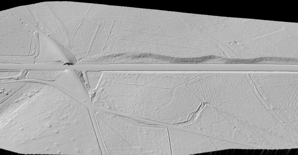
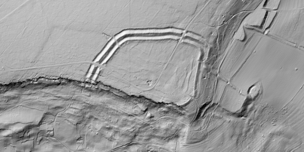
LiDAR for Archaeology: Revealing Hidden Features Beneath the Surface
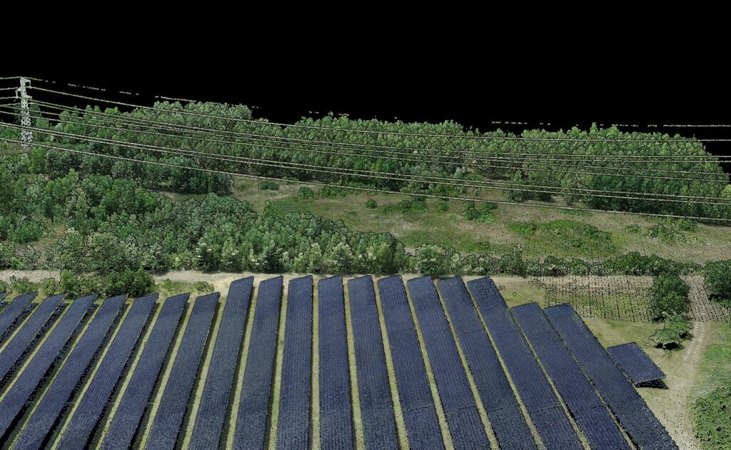
LiDAR for Solar Farm Site Assessment: From Point Cloud to Grading Plans
Lidarvisor vs LiDAR360: Transparent Pricing vs Enterprise Complexity
From Weeks to Minutes: Automated LiDAR for Power Line Vegetation Management
Lidarvisor vs Terrasolid: Get LiDAR Results in Minutes, Not Weeks
Previous
1
…
6
7
8
9
Menu
This website uses cookies to improve your experience. If you continue to use this site, you agree with it.
Ok