
Comparisons
Lidarvisor vs Terrasolid
Cloud Simplicity vs Desktop Power
No credit card required • 50 hectares included
Choose the right LiDAR processing solution for your workflow. Get results in minutes with cloud automation, or take full manual control with desktop software.
Feature Comparison
| Feature | Lidarvisor | Terrasolid |
|---|---|---|
| Platform | Cloud (browser) | Desktop (CAD required) |
| Pricing | $0–$249/month | €5,700+ perpetual |
| Setup Time | Instant | Days–Weeks |
| Classification | AI automatic + manual tools | Manual tuning |
| Learning Curve | Minimal | Steep |
| Collaboration | Web sharing | File export |
| Free Tier | 50 ha | Evaluation only |
| Best For | Speed & simplicity | Full control |
Lidarvisor
Speed & Simplicity for Modern Workflows

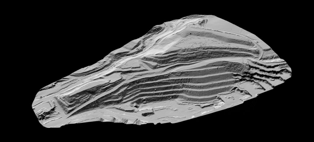
Upload your LAS file and get classified point clouds, DTMs, and CAD-ready deliverables in minutes, not weeks. No installation, no training, no parameter tuning.
No Installation — Works in your browser on Mac, Windows, Linux, even tablets
Automatic Classification — AI-powered ground, vegetation, and building detection. Plus manual tools for edge case refinement.
Instant Deliverables — DTM, DSM, CHM, contours, and DXF exports ready in minutes
Affordable Pricing — Start free with 50 ha, scale from $29 to $249/month as needed
Utility & Vegetation — Powerline vectorization and encroachment analysis included
Terrasolid
Power & Control for Large Organizations
The industry standard for national mapping agencies and organizations requiring complete manual control over every classification parameter.
Industry Standard — Trusted by mapping agencies and major organizations worldwide
Complete Control — Fine-tune every classification parameter for specialized requirements
Batch Processing — Process massive datasets with macros and automated workflows
3D Building Models — Create detailed LOD2 models from point clouds
Considerations: Requires CAD platform (MicroStation), €5,700+ investment, weeks of training
Terrasolid information based on publicly available data.
Utility Corridor Capabilities
Both platforms support utility corridor analysis with different approaches:
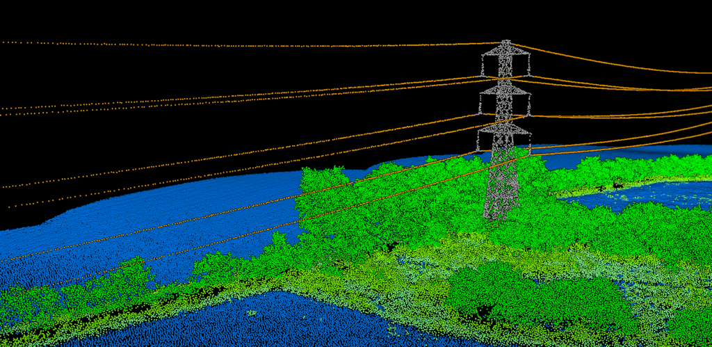
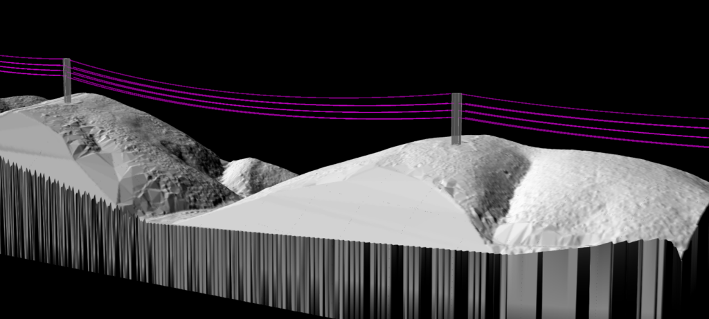
Lidarvisor includes automated vegetation risk detection and powerline vectorization in all plans at no extra cost. Upload your corridor data and get encroachment reports.
Terrasolid offers TerraScan’s wire detection routines with detailed parameter control. Requires more expertise but handles complex transmission line scenarios.
Which Should You Choose?
The right tool depends on your project scale, budget, and workflow
Choose Lidarvisor When…
• You need results quickly without tuning parameters • You process up to 500 hectares per month • Budget flexibility matters • You want to try before committing (free tier) • You need to share results with clients via web links • You need utility/vegetation features without add-on costs
Consider Terrasolid When…
• You process massive datasets at national scale • You need complete control over classification algorithms • You have specialized corridor or surface requirements • You already use MicroStation in your workflow • You have a dedicated LiDAR team with training budget
Frequently Asked Questions
Can I try both platforms before committing?
Yes! Lidarvisor offers a generous free tier with 50 hectares of processing, no credit card required. Just sign up and start processing. Terrasolid offers evaluation licenses upon request through their sales team.
Which is better for drone LiDAR data?
For most drone surveys (mapping, forestry, construction), Lidarvisor’s automatic classification delivers fast, accurate results. Upload your LAS file and get classified point clouds in minutes. Terrasolid excels when you need complete manual control over every classification parameter.
Do I need CAD experience to use either platform?
Lidarvisor requires no CAD experience, it runs entirely in your web browser. Upload, process, download. Terrasolid requires familiarity with CAD environments (either their free Spatix viewer or commercial MicroStation).
What about powerline/utility corridor work?
Both platforms support utility corridor analysis. Lidarvisor includes automated vegetation risk detection and powerline vectorization in its standard plans. Terrasolid provides more granular manual control for specialized transmission line inspections.
Can I switch from Terrasolid to Lidarvisor?
Absolutely. Many users start with Terrasolid for its power, then discover Lidarvisor handles their routine projects faster. Your LAS files work in both platforms, there’s no format lock-in.
More Comparisons
Create a FREE account now and start processing your point cloud
Get 5 GB of storage space and classify up to 50 hectares for free.
Create free account50 hectares free. No credit card. No software to install.