Features
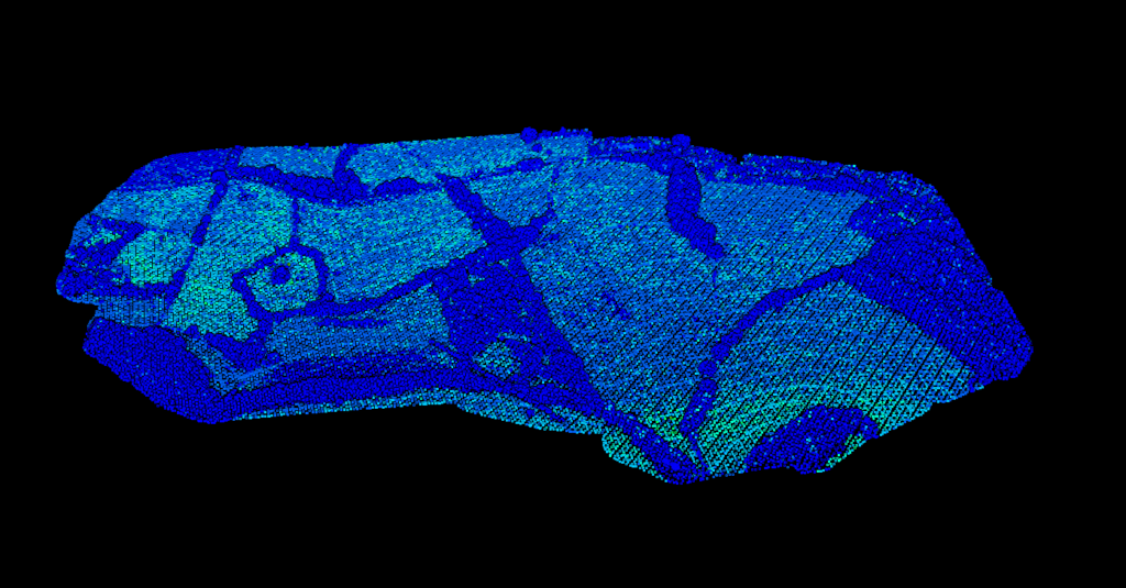
Point Cloud Viewer
Point Cloud Preprocessing
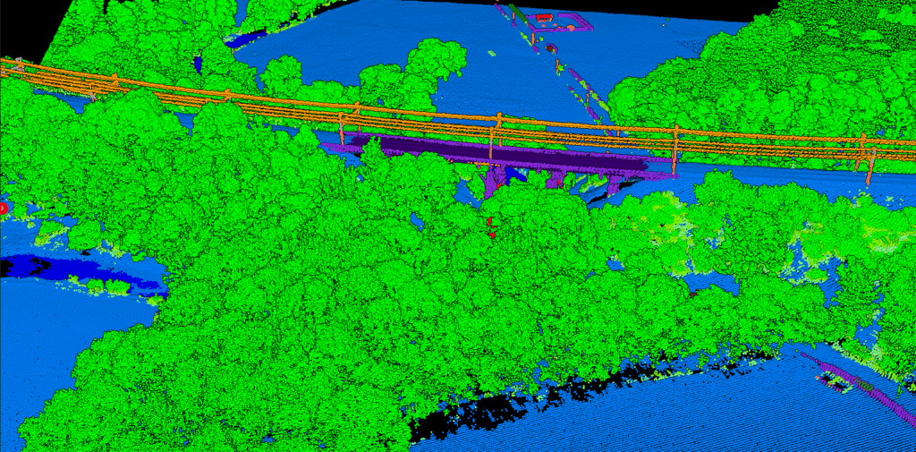
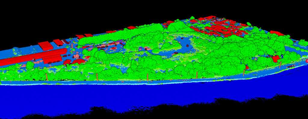
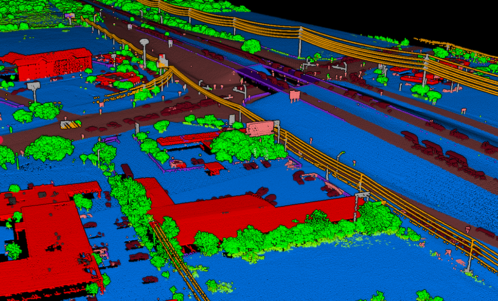
Point Cloud Classification
Point Cloud Rasterization
Point Cloud Vectorization
Processing API
Industry
Land Surveying
Utility Vegetation Management
Forestry
Contact
Pricing
Log in
Try for free
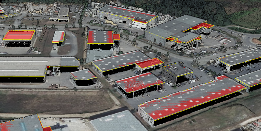
Building Footprint Extraction from LiDAR: Automated Methods for Urban Mapping and Asset Management
Point Cloud to CAD: How to Convert LiDAR Data to DXF Drawings
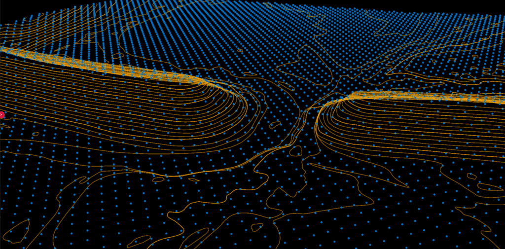
LiDAR DTM for Flood Modeling: How Accurate Terrain Data Improves Flood Risk Assessment
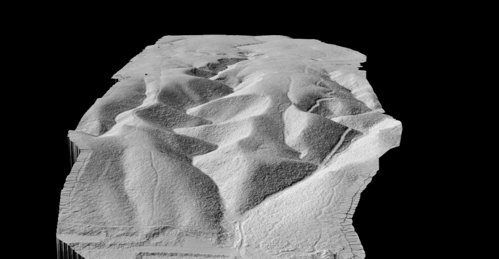
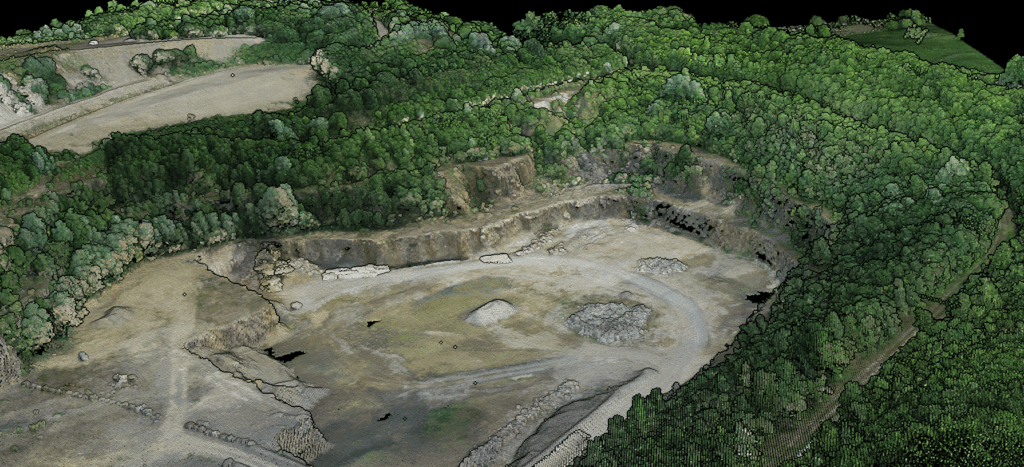
LiDAR for Mining: From Drone Surveys to Stockpile Volumes and Terrain Analysis
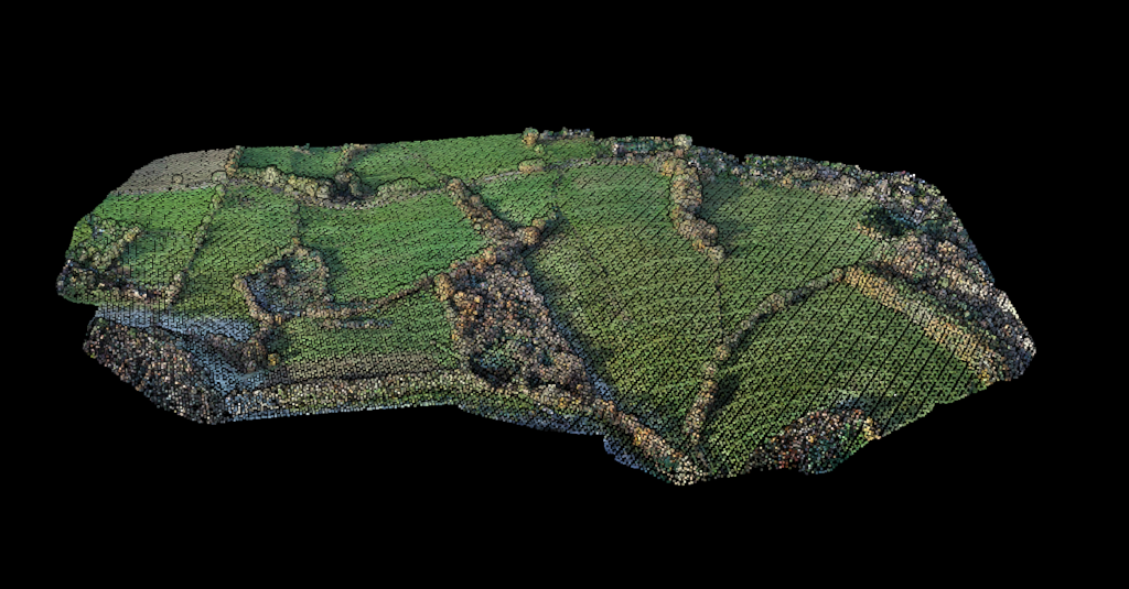
LiDAR for Agricultural Drainage: DTM-Based Tile Drain Design and Field Water Management
Free LAS File Viewer Online: View LiDAR Point Clouds in Your Browser
LiDAR for Coastal Monitoring: Shoreline Mapping and Erosion Analysis
Point Cloud Cleaning: Removing Vehicles and Temporary Objects from LiDAR Data
Lidarvisor vs Global Mapper: Point Cloud Processing Comparison
LiDAR for Coastal Erosion: How to Track Shoreline Changes with 5cm Accuracy
Previous
1
…
3
4
5
6
7
8
Next
Menu
This website uses cookies to improve your experience. If you continue to use this site, you agree with it.
Ok