
Learn LiDAR
Classify LiDAR Ground Points Automatically
No Parameter Tuning Required
No credit card required • 50 hectares included
Manual ground classification wastes hours on parameter tuning—and still produces inconsistent results. What if you could skip the trial-and-error and get accurate ground points automatically, regardless of terrain type?
Why Ground Classification Is So Frustrating
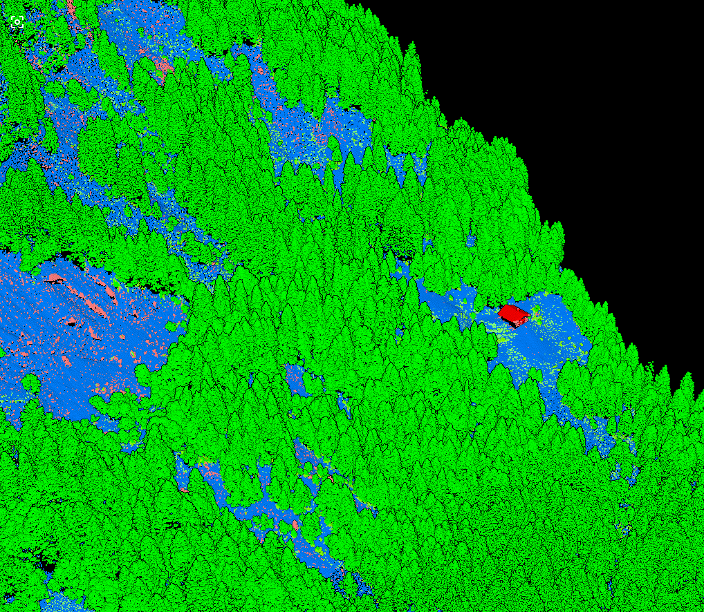
Accurate ground classification determines the quality of every downstream product. If ground points include vegetation or building edges, your DTM will have errors. If true ground points are filtered as noise, you lose critical terrain detail.
Traditional ground classification algorithms require constant parameter tuning, and what works for one terrain type fails completely for another.
Traditional Classification Methods
Morphological Filtering
Uses minimum elevation within moving windows to find ground. Requires separate settings for each terrain type.
Progressive TIN Densification
Builds a triangulated surface from lowest points and adds points within angle/distance thresholds. Sensitive to initial seed points.
Slope-Based Methods
Iteratively classifies points based on slope relative to neighbors. Struggles with steep terrain and cliff edges.
How AI Ground Classification Eliminates the Guesswork
Deep learning models learn what ground looks like from examples
Instead of following explicit rules, neural networks learn to recognize ground points from examples. Train on millions of labeled points across diverse environments, and the model learns what ground looks like in different contexts.
- KPConv and PointNet++ process 3D point coordinates directly
- Each point analyzed within its local neighborhood
- Considers elevation, geometry, density, and context simultaneously
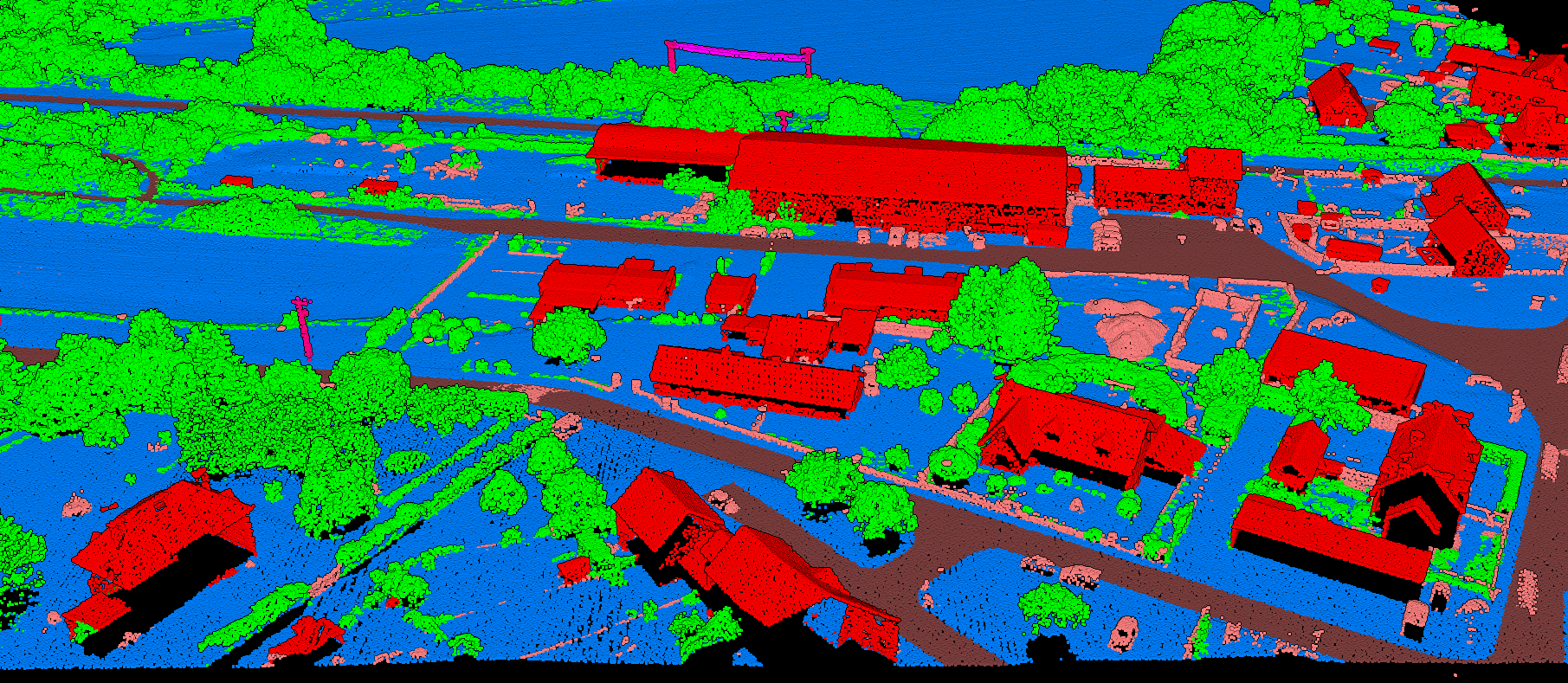
The key to robust AI ground classification is diverse training data. When the model has seen enough examples of each scenario, it learns to recognize ground regardless of the specific environment.
Training on Global Datasets
Agricultural Areas
Flat terrain with uniform point density
Mountainous Terrain
Steep slopes with exposed rock
Dense Forests
Heavy canopy cover challenges
Urban Environments
Buildings and infrastructure
Coastal Areas
Water/land transitions
Mixed Environments
Multiple terrain types combined
AI vs Traditional Ground Filtering
Traditional Methods
- Parameter tuning required for each terrain type
- Often misclassifies steep slopes
- Requires iterative processing
- Results vary with operator settings
- Desktop software installation needed
Lidarvisor AI Classification
- No parameter tuning required
- Handles steep terrain consistently
- Minutes per file processing
- Same result every time
- Cloud-based, nothing to install
From Ground Points to DTM in Minutes
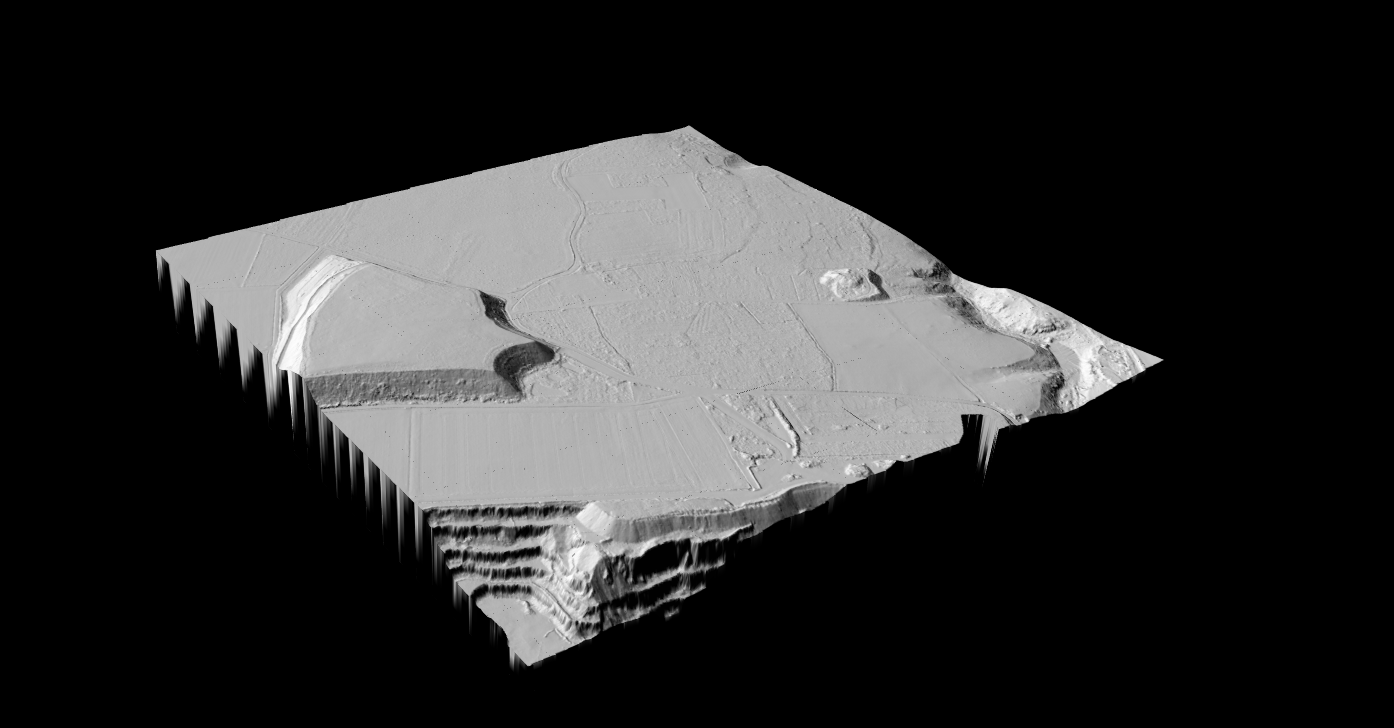
Ground classification quality determines DTM accuracy
Once ground points are classified, generating a Digital Terrain Model becomes straightforward. Interpolation algorithms create a continuous surface from the classified ground points.
- No manual corrections needed for typical projects
- Built-in manual tools (brush, class permutation, filtering) when refinement is needed
- Consistent quality across project areas
- Reliable results on challenging terrain
- No parameter iteration, no software to install
Skip the Parameter Tuning. Get Accurate Ground Points Now.
Lidarvisor uses deep learning models trained on diverse global datasets to classify ground points automatically. Upload your LAS file and get classified ground points in minutes.
Create free account50 hectares free. No credit card. No software to install.