
Learn LiDAR
LiDAR Corridor Mapping Software for Utility, Road, and Pipeline Workflows
From raw corridor point clouds to terrain, feature, and handoff-ready outputs
No credit card required • 50 hectares included
Corridor projects create a familiar bottleneck: capture may be finished, but utility, road, and pipeline teams still need usable terrain and feature outputs before review or design can move forward.
The best LiDAR corridor mapping software helps you turn raw LAS or LAZ files into bare-earth terrain, contours, slope maps, classified point clouds, and, where applicable, corridor-specific vector layers such as wires, towers, poles, or roads, plus utility vegetation review outputs for clearance workflows. The goal is not to replace CAD or asset systems. It is to give downstream teams cleaner inputs faster.
What corridor mapping teams usually need from software
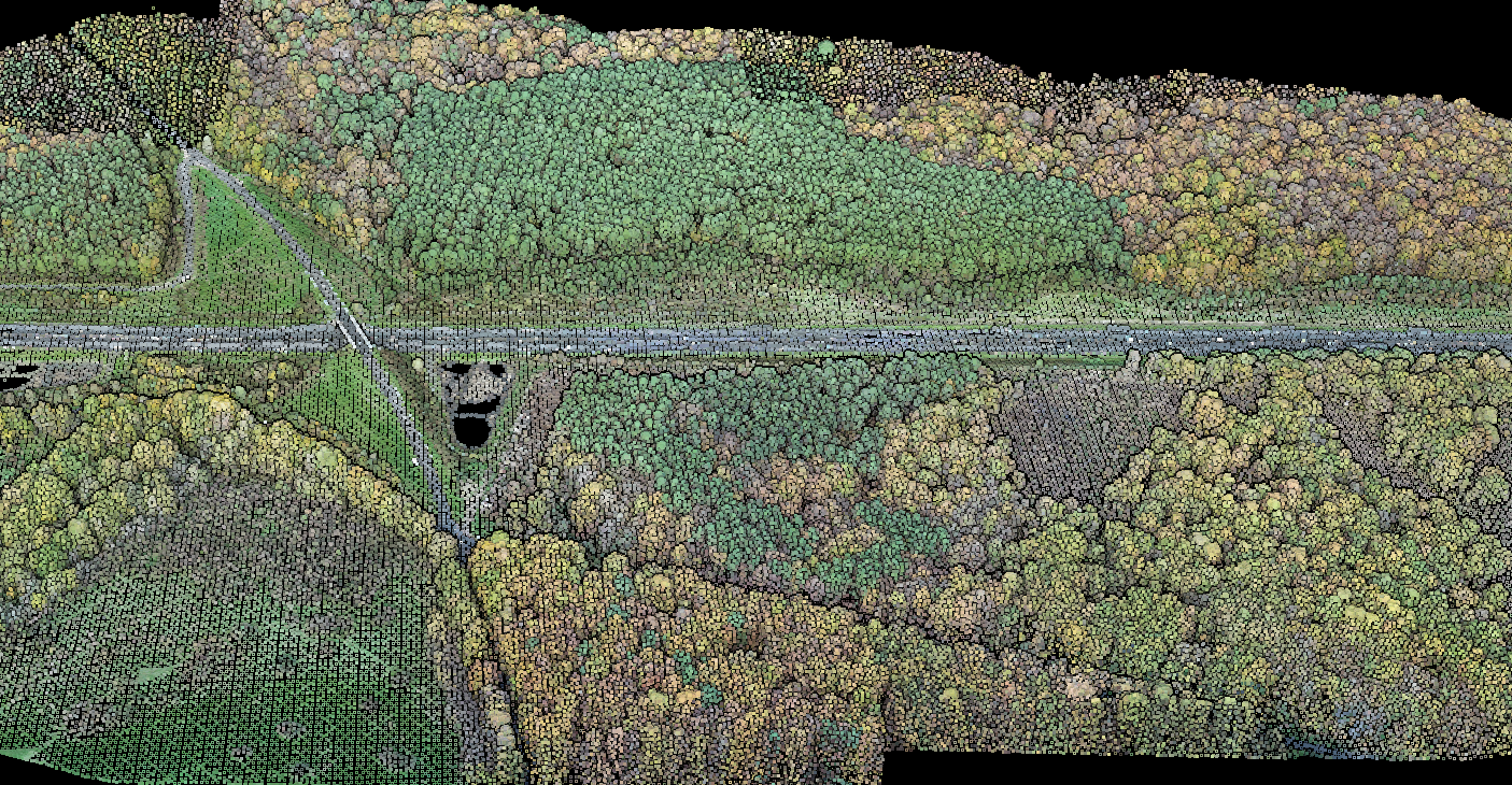
- Fast QA across long linear datasets
- Reliable ground classification for DTM creation under vegetation
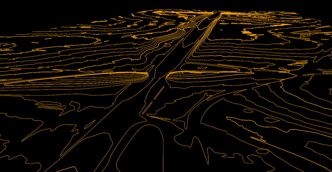
- Terrain outputs such as contours, hillshade, slope maps, and DSM or DTM surfaces
- Utility-oriented feature extraction where needed, plus practical exports for CAD and GIS
- Browser-based review for engineers, managers, and clients who do not want desktop installs
- Repeatable processing across corridor after corridor
LiDAR does not replace design, drafting, or asset-management software. It supports those downstream tools by producing the terrain and feature layers corridor teams need for review, planning, and handoff.
In practice, processing software sits between capture and downstream delivery. It prepares cleaner surfaces, classifications, and vector layers so CAD and GIS teams can move faster without starting from raw point clouds every time.
Swipe on mobile to compare corridor types and outputs.
Where LiDAR fits in corridor workflows
| Corridor type | Typical LiDAR outputs | Why they matter |
|---|---|---|
| Utility and powerline | Ground, vegetation, poles, wires, towers, vegetation risk reports and vectors | Supports clearance review and utility corridor handoff |
| Road and highway | DTM, DSM, contours, slope maps, road vectors where applicable | Supports earthwork review, drainage context, and CAD or GIS handoff |
| Pipeline | Bare-earth terrain, contours, slope maps, and classified point clouds | Supports route review, access planning, and downstream GIS or CAD handoff |
| Rail and transport | Ground surface, slope context, structures, vegetation context | Supports maintenance planning and long-alignment review |
BROWSER REVIEW
Why browser-based corridor review matters
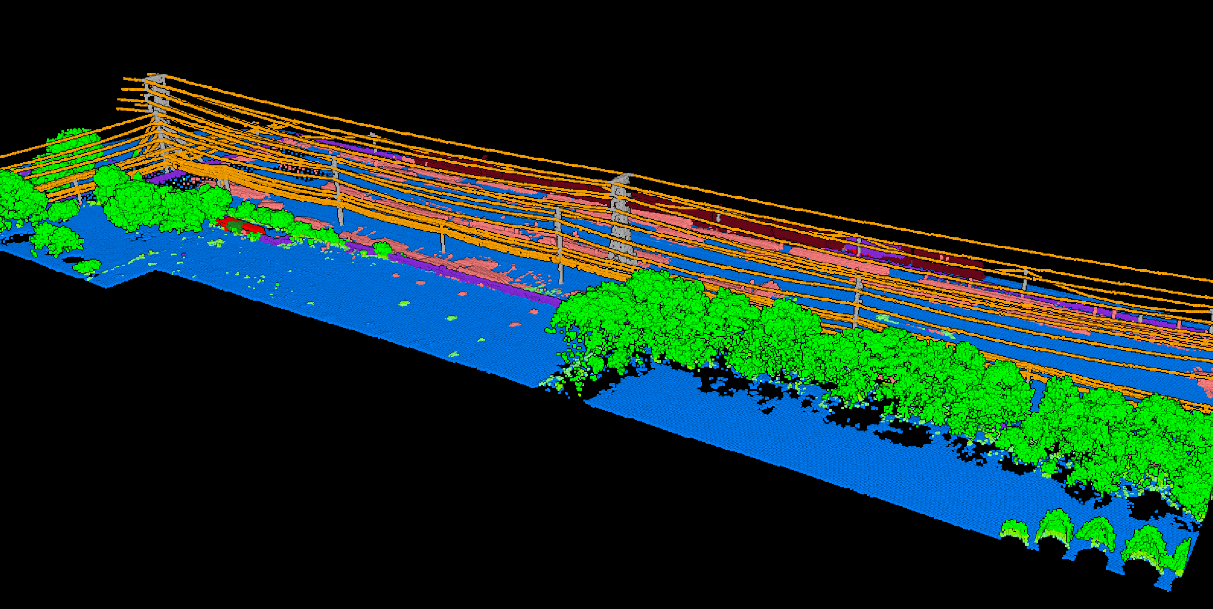
Long corridors produce large files, and not every reviewer wants a heavyweight desktop workflow just to inspect results.
Browser-based review helps teams open processed point clouds, inspect classes and terrain, and share findings faster across survey, engineering, and utility stakeholders.
That matters when a project needs quick checks on vegetation near wires, slope changes along a roadway, or whether processed outputs are ready for downstream export. Review can happen in the browser, while final drafting and system-of-record work stays in CAD, GIS, or utility platforms.
PROCESSING + EXPORT
How Lidarvisor supports corridor mapping deliverables
For corridor teams, that makes Lidarvisor a processing and review layer, not a full survey CAD or asset-management replacement.
- Automatic classification across standard classes including ground, vegetation, building, water, wire, tower, and pole
- Derived raster outputs such as DTM, DSM, hillshade, and slope in georeferenced TIFF workflows
- Vector outputs including contours, building footprints, tree crowns, wire lines, tower vectors, road vectors, and gridded DTM where applicable
- Export formats including GeoTIFF, DXF, SHP, GeoJSON, LAS, and LAZ
- Browser-based 3D viewing and shareable links for review before downstream handoff
The value is faster terrain prep, clearer review, and cleaner exports for the tools your team already uses downstream.
A practical checklist for choosing corridor mapping software
- Does it produce bare-earth terrain cleanly under vegetation?
- Can it support the specific corridor outputs your team needs, such as contours, slope maps, utility vectors, or browser-based review?
- Can non-specialist reviewers inspect results without requiring every stakeholder to install desktop software?
- Does it export into the CAD and GIS formats your downstream team already uses?
- Can it handle repeat corridor work without rebuilding the process every time?
Frequently Asked Questions
Is corridor mapping software the same as a survey design or asset-management platform?
No. Corridor mapping software focuses on processing, reviewing, and exporting usable terrain and feature data from capture inputs. Detailed design, drafting, and asset-system decisions still happen downstream.
Can LiDAR help with powerline corridor review?
Yes. LiDAR can support utility corridor review by separating ground, vegetation, wires, poles, and towers so teams can inspect clearance context and export consistent review layers.
What deliverables matter most for road and pipeline corridors?
DTM, contours, slope maps, and classified point clouds are usually the core deliverables. Some teams also want road vectors or other GIS-ready layers depending on the corridor workflow.
Do all corridor projects need wire or pole extraction?
No. That is most relevant for utility and transmission workflows. Road, rail, and pipeline teams often care more about terrain, slopes, structures, access context, and practical downstream exports.
Ready to Review a Corridor Dataset Faster?
Start with a free account and test the corridor workflow that fits your team: terrain prep, browser review, and downstream-ready exports from the same dataset.
Create free account50 hectares free. No credit card. No software to install.