
Tutorials
How to Download Free LiDAR Data from Estonia (Maa-amet Geoportaal)
Step-by-Step Tutorial
No credit card required • 50 hectares included
Learn how to access and download free high-resolution LiDAR point cloud data, DTMs, DSMs, and CHMs for Estonia through the Estonian Land Board Geoportal (Maa-amet). Complete national coverage with data up to 4 points per square meter.
Maa-amet Geoportaal is Estonia’s official geospatial data portal operated by the Estonian Land Board. It provides free access to high-quality LiDAR data, digital terrain models, digital surface models, and canopy height models covering all of Estonia.
What is Maa-amet Geoportaal?
Point Cloud Data (LAZ)
LAZ 1.4 format LiDAR point clouds with 4+ points/m² covering 1 km² each. Automatically classified with ground, vegetation, and building classes.
DTM & DSM Rasters
Digital Terrain Models and Digital Surface Models available at 1m, 5m, 10m, and 25m resolution in GeoTIFF format.
Full Estonia Coverage
Complete national coverage including Canopy Height Models at 4m and 10m resolution for forestry applications.
- Download Spatial Data – Access all downloadable datasets
- Elevation Data – LiDAR point clouds and DEMs
- Map Sheet Indexes – Find map sheet numbers for your area
- Web Services – WMS and WFS access to data layers
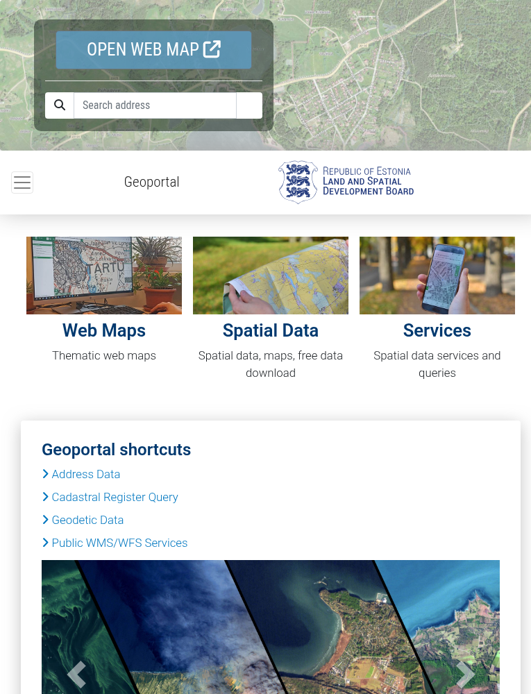
Navigate to Maa-amet Geoportaal
Go to geoportaal.maaamet.ee/eng/ to access the Estonian Land Board Geoportal in English.
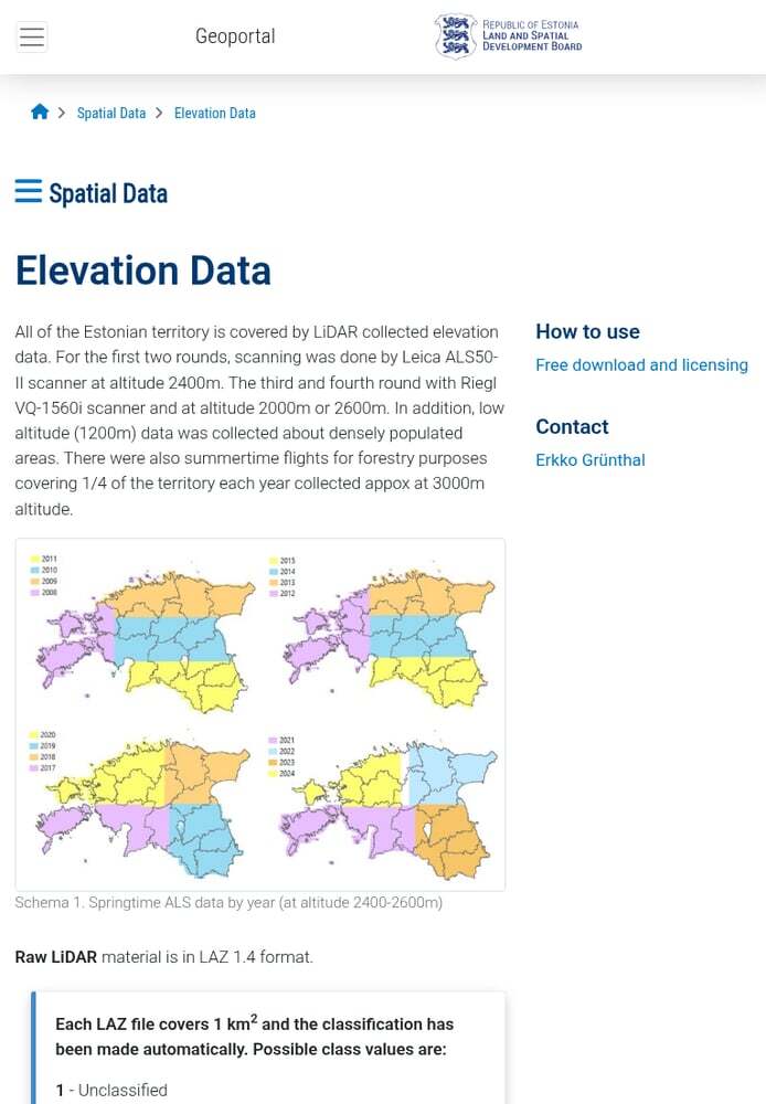
Available elevation products:
- LiDAR point clouds – Raw classified LAZ files
- DTM (Digital Terrain Model) – Ground surface elevation
- DSM (Digital Surface Model) – Including buildings and vegetation
- CHM (Canopy Height Model) – Vegetation height data
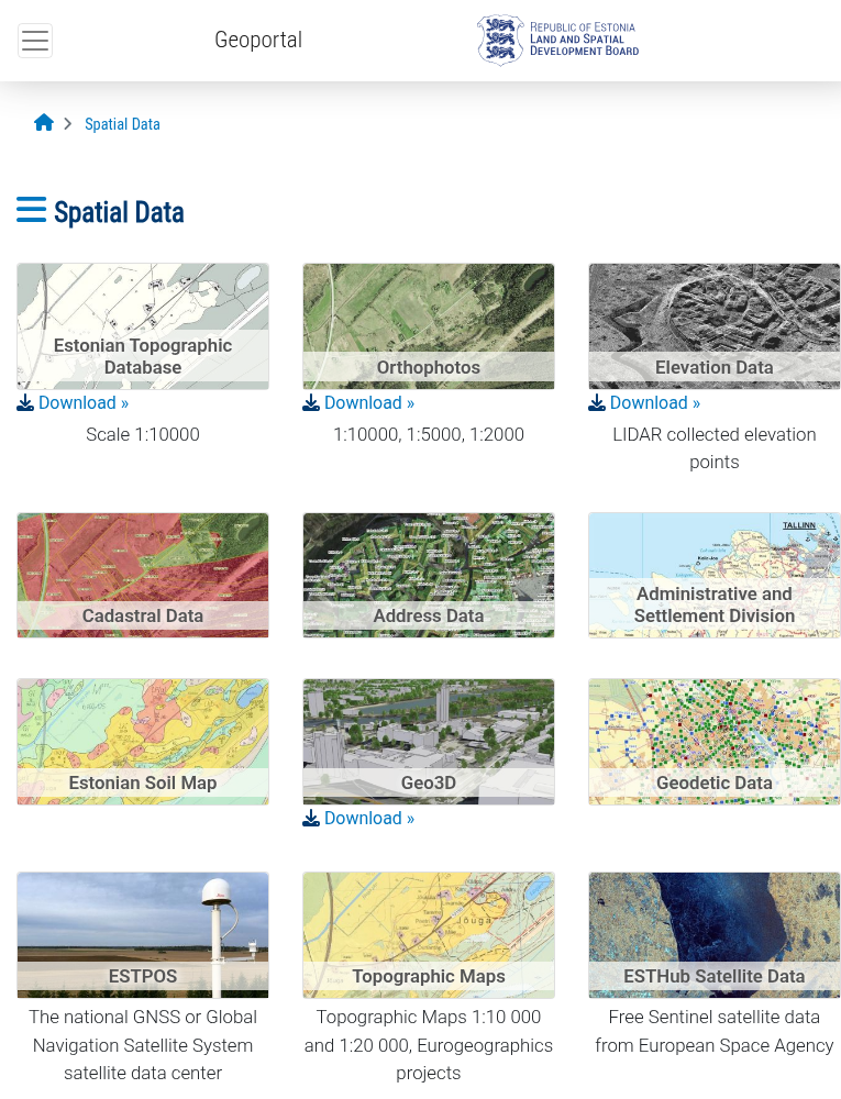
Access the Elevation Data Section
Click on “Spatial Data” on the homepage, then select “Elevation Data”.
How to find your map sheet:
- Interactive map – Click on the map to get the sheet number
- Search by coordinates – Enter L-EST97 coordinates
- Search by place name – Find locations like “Tallinn” or “Tartu”
Note: Each map sheet covers approximately 1 km² for point cloud data.
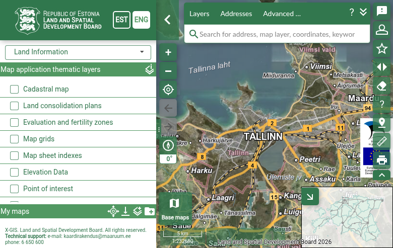
Find Your Map Sheet Number
Use the interactive map viewer to find your area of interest and get the map sheet number.
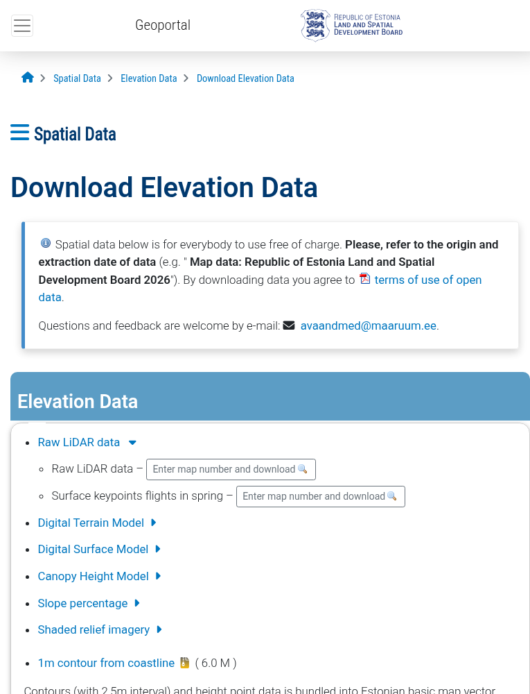
Download options:
- Raw LiDAR data – LAZ 1.4 format, ~50-200 MB per tile
- Digital Terrain Model – GeoTIFF at 1m, 5m, 10m, or 25m resolution
- Digital Surface Model – Same resolutions as DTM
- Canopy Height Model – 4m and 10m resolution for forestry
- Slope percentage – Terrain slope analysis
- Shaded relief imagery – Hillshade visualization
No registration required – downloads start immediately!
Download Your Data
Enter your map sheet number in the download interface and select your desired product.
Available File Formats
Maa-amet Geoportaal offers multiple data formats optimized for different use cases
| Format | Type | Best For |
|---|---|---|
| LAZ 1.4 | Point Cloud | Compressed LiDAR with automatic classification – ideal for detailed analysis |
| GeoTIFF | Raster | DTM/DSM/CHM elevation grids – standard format for terrain analysis |
| 1m Resolution | Grid Size | Highest detail – best for small areas and precision work |
| EPSG:3301 | Coordinate System | L-EST97 – the official Estonian coordinate reference system |
Tips for Downloading Estonian LiDAR
Check Data Currency
New LiDAR data is released every December-January. Check the metadata to ensure you’re downloading the most recent coverage for your area.
Use LAZ Format
LAZ files are significantly smaller than uncompressed LAS with no data loss. Most modern GIS software supports LAZ directly.
Try CHM Products
For forestry applications, the Canopy Height Model products at 4m and 10m resolution provide vegetation heights without additional processing.
Start Small
Download a single tile first to verify data quality and format compatibility before downloading large areas.
Frequently Asked Questions
Is Estonian LiDAR data free to use?
Yes! All data from Maa-amet Geoportaal is available free of charge under Estonia’s Open Data License. The data can be used for both personal and commercial purposes without requiring attribution, though citing the Estonian Land Board is appreciated.
Do I need an account to download?
No account is required for any downloads. You can access and download LiDAR point clouds, DTMs, DSMs, and CHMs without registration. Simply navigate to the data and download directly.
What is the resolution of Estonian LiDAR data?
Estonian LiDAR data has excellent coverage:
- Point cloud density: 4+ points per m²
- DTM/DSM grids: 1m, 5m, 10m, and 25m resolution options
- CHM products: 4m and 10m resolution
The 1m resolution products provide the highest detail for precision work.
What coordinate system is used?
All Estonian data uses the EPSG:3301 coordinate system (L-EST97 – Estonian Coordinate System of 1997). This is a Transverse Mercator projection optimized for Estonia. Make sure your GIS software is configured to use this CRS when working with the data.
How current is the data?
The Estonian Land Board releases new LiDAR data every December-January. Estonia has complete national coverage, and the data is continuously updated as new surveys are completed. Check the metadata for specific acquisition dates.
What area does each file cover?
LiDAR point cloud files (LAZ) cover 1 km² each, organized by map sheet number. Raster products (DTM, DSM, CHM) are available in larger extents organized by map sheet regions. Use the Map Sheet Indexes to identify the tiles you need.
More Free LiDAR Data Tutorials
Explore our complete collection of free LiDAR data download tutorials
Nordic Countries
Global Portals
Ready to Process Your Estonian LiDAR?
Upload your downloaded Maa-amet files to Lidarvisor for instant visualization, analysis, and export. 5 GB free storage included.
Create free account50 hectares free. No credit card. No software to install.