
Learn LiDAR
Point Cloud to CAD
Convert LiDAR Data to DXF Drawings for Survey and Design Handoffs
No credit card required • 50 hectares included
Turn classified LiDAR into CAD-ready deliverables your survey, engineering, and design teams can actually use. Lidarvisor helps you move from raw LAS or LAZ files to contour lines, building footprints, and terrain outputs that fit DXF-based workflows.
Point Cloud Data
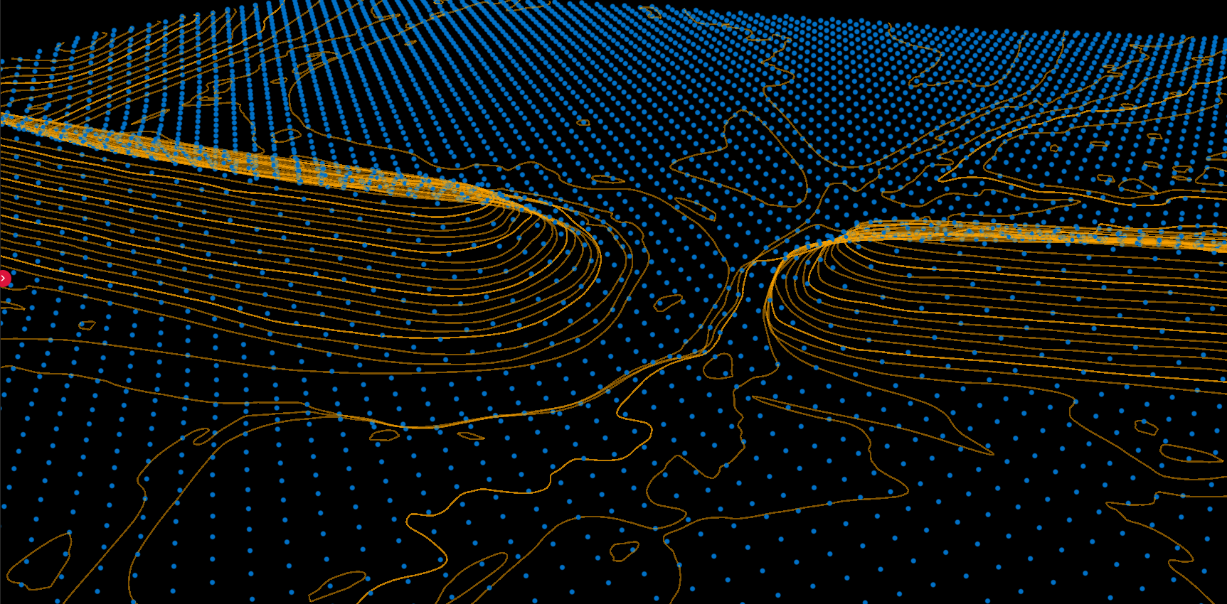
- • Millions of discrete points
- • Unstructured geometry
- • Large file sizes (GB)
- • Analysis-focused format
CAD Requirements
- ✅ Clean lines and shapes
- ✅ Layer-organized features
- ✅ Manageable drawings (MB)
- ✅ Production-focused format
Conversion Workflow with Lidarvisor
Upload
Upload your LAS or LAZ file from aerial LiDAR surveys
Classify
AI classifies ground, vegetation, buildings, water, and wires
Vectorize
Extract contour lines, building footprints, and tree features
Download
Export DXF files for AutoCAD, Civil 3D, MicroStation, and QGIS
CAD-Ready Deliverables
| Product | Format | Use Case |
|---|---|---|
| Contour lines | DXF polylines | Topographic maps, grading plans |
| Building footprints | DXF polygons | Site plans, urban mapping |
| Tree crowns | DXF polygons | Forestry, landscape design |
| DTM/DSM | GeoTIFF raster | Terrain analysis, visualization |
When point cloud to CAD is the right workflow
Use point cloud to CAD conversion when the next team in the chain needs lightweight vector deliverables instead of a dense point cloud. This is common in topographic surveying, corridor planning, utility mapping, grading prep, and design coordination.
- Survey teams need contour lines or breakline-ready DXF exports
- Engineering teams need building footprints or terrain references inside CAD
- Utility and corridor projects need easier handoff into drafting and GIS review
- Clients need simplified deliverables instead of raw LAS or LAZ files
Frequently Asked Questions
What file formats can I upload?
Lidarvisor accepts LAS (all versions), LAZ (compressed), and COPC point cloud files — up to 50 tiles of one survey per project.
What CAD formats can I export?
Vector products export as DXF files, compatible with AutoCAD, Civil 3D, MicroStation, QGIS, and other CAD/GIS software.
How accurate are the exported vectors?
Accuracy depends on your source data. Lidarvisor preserves the precision of your input point cloud. If your LiDAR achieves 5cm vertical accuracy, your contours and vectors will reflect that same precision.
Can I use the DXF output in Civil 3D or survey drafting workflows?
Yes. The goal is to hand off simpler vector outputs that fit drafting and design review workflows better than a full raw point cloud. Teams often pair DXF exports with GeoTIFF terrain outputs when they need both linework and elevation context.
Create a FREE account now and start processing your point cloud
Get 5 GB of storage space and classify up to 50 hectares for free.
Create free account50 hectares free. No credit card. No software to install.