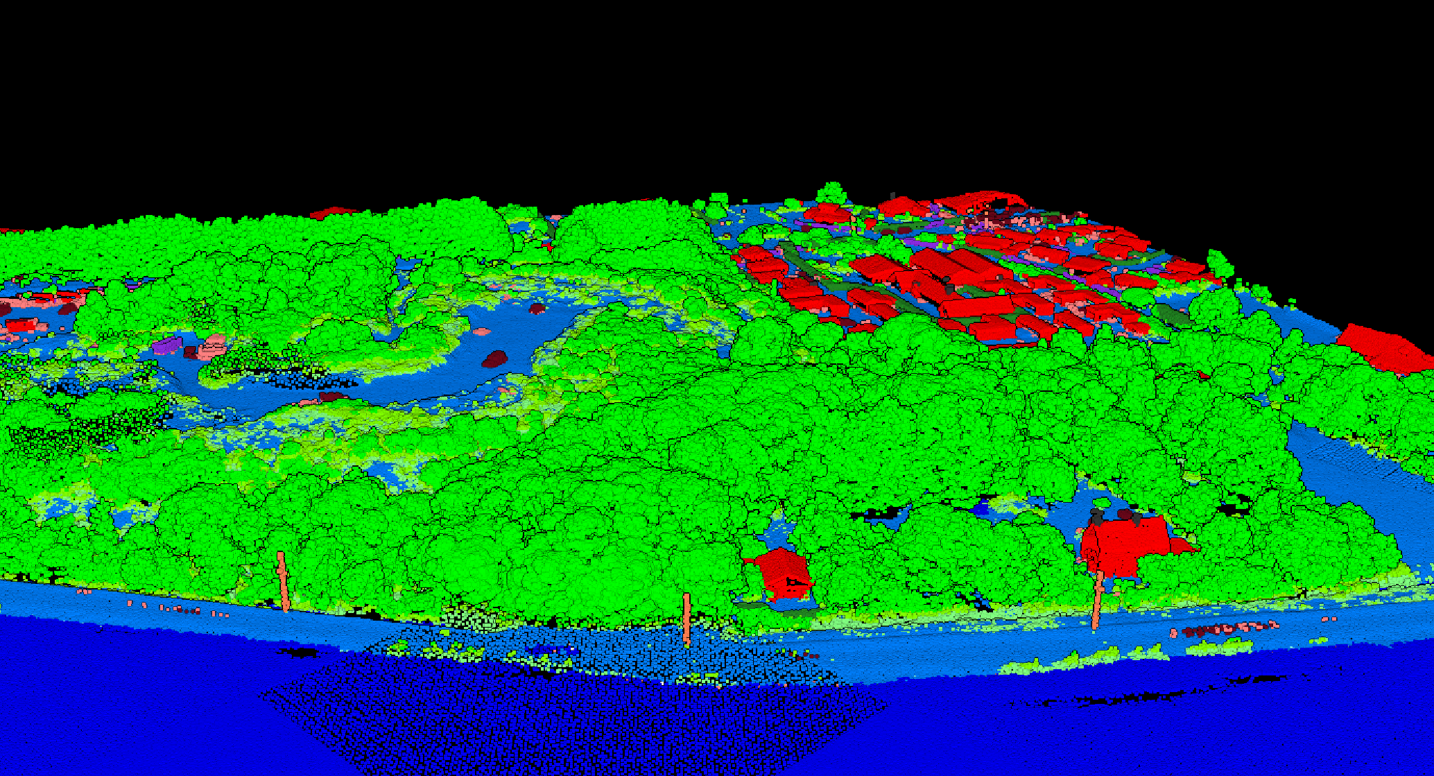
Multi-return LiDAR captures multiple echoes from a single laser pulse, letting you see through vegetation to the ground below. Each echo becomes a separate point in your dataset, revealing the complete vertical structure of forests.
How Multi-Return Works
A laser pulse isn’t a perfect line — it spreads slightly as it travels, creating a footprint that may illuminate objects at different heights simultaneously.
When the return signal reaches the sensor, it contains distinct peaks corresponding to reflections from different surfaces. The sensor detects and timestamps each peak, recording them as separate returns.
Modern LiDAR systems typically record 4-7 returns per pulse, though the actual number depends on what the pulse encounters.
Why Multi-Return Matters
Each return carries metadata: its sequence number (1st, 2nd, 3rd…), the total number of returns for that pulse, and often the return intensity.
Related Articles
Analyze Multi-Return Data with LidarVisor
LidarVisor preserves and utilizes return information for better ground classification. Filter points by return number to isolate canopy layers or analyze vegetation structure from crown to forest floor.