
Industries
Vegetation Encroachment Detection Software for Utilities: LiDAR Workflows for Power Lines
Utility vegetation risk analysis for transmission and distribution corridors
No credit card required • 50 hectares included
Trees growing into clearance zones cause power outages that cost utilities millions per incident. Manual inspections miss hazard trees, generate inconsistent data, and leave utilities vulnerable to regulatory penalties.
If you’re evaluating vegetation encroachment detection software, this guide shows you exactly what to look for—and how to get started processing your corridor data today.
Why Traditional Inspection Methods Fall Short
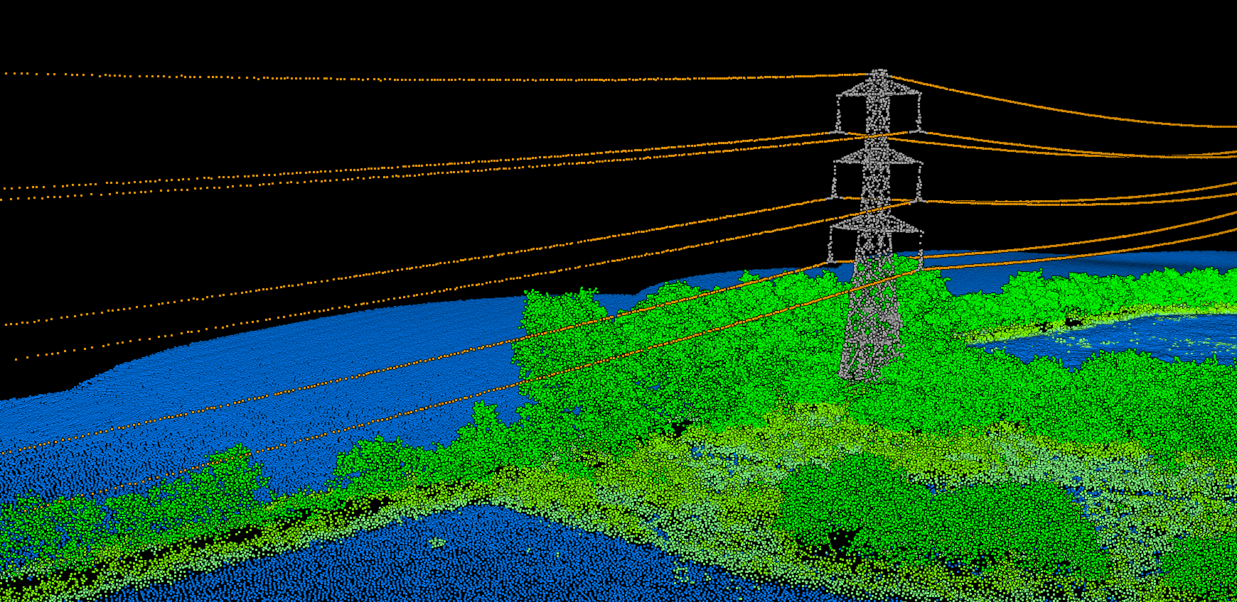
Most utilities still rely on visual inspections from trucks or helicopters. Inspectors estimate clearances, mark approximate locations, and move to the next span. This approach has fundamental limitations:
- Subjective measurements — Clearance estimates vary between inspectors
- Incomplete coverage — Dense vegetation hides hazard trees from view
- No fall-in analysis — A tall tree 50 feet from the line looks safe until it falls
- Poor documentation — Hand-drawn maps and approximate GPS coordinates
LiDAR surveys capture precise 3D data of entire corridors, but raw point clouds require specialized software to extract actionable intelligence.
Key Features for Utility Vegetation Software
When evaluating vegetation management software, utility managers should prioritize these capabilities
1. Automatic Infrastructure Detection
The software should automatically identify wires, poles, towers, and transmission structures from LiDAR point clouds. Manual tracing of conductors across hundreds of miles is impractical. Look for AI-powered classification that works without parameter tuning.
3. Fall-In Risk Detection
This feature is often overlooked. A 60-foot tree standing 50 feet from your line poses zero encroachment risk today, but becomes critical after the next storm. Effective software compares tree height against distance from infrastructure to identify strike-capable vegetation.
5. CAD and GIS Integration
Your vegetation management data needs to flow into existing workflows. Essential export options include
DXF Files
For CAD software and engineering analysis
SHP Files
For GIS mapping and asset management
CSV Reports
For spreadsheet analysis and work order generation
Regulatory Compliance (NERC FAC-003)
Transmission utilities must comply with NERC FAC-003 vegetation management standards. Your software should generate documentation that proves clearance compliance:
- Geospatially-referenced clearance measurements
- Date-stamped survey data
- Documented remediation history
- Auditable risk reports
This documentation protects against regulatory penalties and demonstrates due diligence in vegetation management programs.
Traditional Software vs. Cloud Processing
Traditional Desktop Software
Requires specialized workstations, expert GIS training, and manual parameter tuning for each project. Processing large corridor datasets can take weeks. Licenses often cost thousands of dollars per seat.
Cloud-Based Platforms
Handle processing automatically. Upload LiDAR data, receive classified results with encroachment analysis. No software installation, no parameter adjustment, no specialized training required.
LIDARVISOR PLATFORM
How Lidarvisor Handles Utility Vegetation Encroachment Workflows
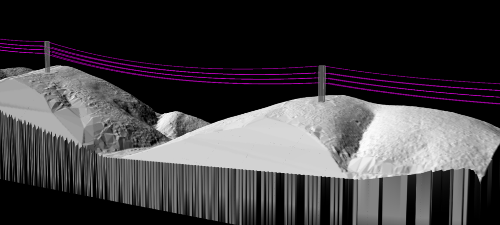
Cloud-based LiDAR processing built for utility vegetation management
Upload your corridor data and get results in minutes, not weeks. Our AI handles the complexity so your team can focus on remediation priorities.
- Automatic wire detection — AI identifies conductors, poles, and towers
- Custom clearance zones — Configure buffer zones per voltage class
- Fall-in risk analysis — Identify trees that could strike infrastructure
- GPS-ready reports — Export coordinates crews can navigate directly
- CAD integration — Export as DXF or SHP
- Browser-based viewer — Share interactive views via link
Ready to Protect Your Utility Corridors?
Start analyzing vegetation encroachment with AI-powered detection. Upload your corridor LiDAR data to evaluate the platform with your own data, no credit card required.
Create free account50 hectares free. No credit card. No software to install.