The right classification software impacts processing speed (hours vs. days), accuracy (85% vs. 98%), manual effort, and scalability. Compare leading tools to find the best fit for your workflow.
Why Software Choice Matters
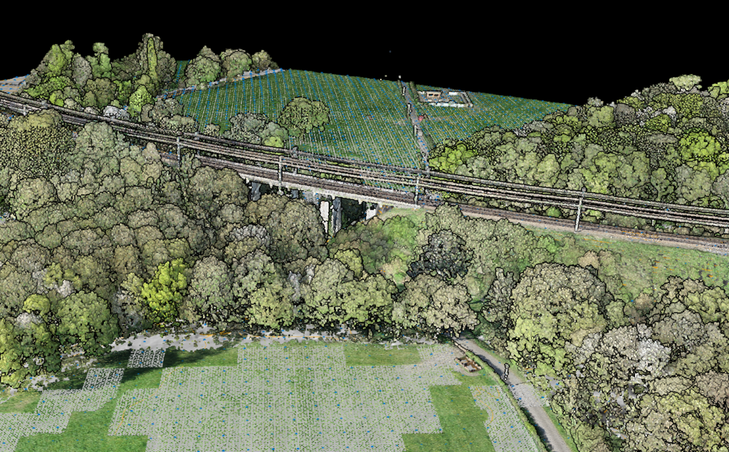
Raw LiDAR point clouds contain millions of undifferentiated points. Classification software transforms this data into organized, actionable information.
Key factors:
- Processing Speed — Hours vs. days for large projects
- Classification Accuracy — 85% vs. 98% correct labels
- Manual Effort — Fully automated vs. extensive cleanup
- Scalability — Desktop limits vs. cloud processing
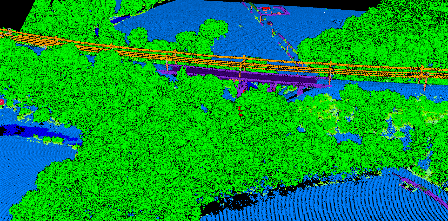
Classification Results Matter
The quality of your classification directly affects all downstream deliverables:
- DTM accuracy depends on correct ground point identification
- Building extraction requires clean separation from vegetation
- Vegetation analysis needs proper height stratification
- Power line detection must distinguish wires from nearby trees
Poor classification means hours of manual cleanup or unusable results.
Commercial Software
TerraScan (Terrasolid)
Industry standard for professional LiDAR processing. Operates within MicroStation or AutoCAD with comprehensive ground classification, building/vegetation detection, and macro automation.
Pricing: ~$5,000-8,000 + host software
Best For: Production environments, government contractors
LP360 (GeoCue)
Modern interface with powerful automation. Provides comprehensive processing in a user-friendly GIS environment with extensive QA/QC tools.
Pricing: ~$3,000-7,000
Best For: GIS professionals, mid-size projects
LiDAR360 (GreenValley)
Comprehensive suite with specialized modules for terrain, forestry, power line inspection, and mining. Handles massive datasets (300+ GB) efficiently.
Pricing: ~$2,000-6,000
Best For: Forestry, power line inspection
Global Mapper Pro
Versatile GIS with integrated LiDAR tools. Good value for organizations needing both GIS and point cloud capabilities.
Pricing: ~$800
Best For: Budget-conscious buyers, small-mid orgs
Classification for Different Applications
Different applications require different classification approaches:
- Agriculture: Crop heights, field boundaries, drainage patterns
- Urban mapping: Buildings, roads, vegetation, utilities
- Forestry: Ground, understory, canopy, individual trees, carbon/biomass estimation
- Utilities: Poles, wires, vegetation encroachment
Choose software that excels in your primary application area.
Open Source Software
Cloud-Based Solutions
Flai
AI-powered automation with pre-trained models, custom model training, and minimal manual intervention.
Pricing: Usage-based subscription
Best For: High-volume production
LidarVisor
Streamlined cloud processing with automatic ground classification, building/vegetation detection, DTM/DSM generation, and CAD-ready exports. Built-in manual tools (brush selection, class permutation, filtering) for edge case refinement.
Pricing: Free tier (10 ha) / From $89/month
Best For: Occasional users, quick turnaround
How to Choose
By Volume: <10 projects/month → Cloud or Global Mapper | 10-50 → LP360 or LiDAR360 | 50+ → TerraScan or cloud API By Expertise: Beginner → Global Mapper, LidarVisor | Intermediate → LP360 | Expert → TerraScan, LAStools
By Application: General surveying → LP360 | Forestry → LiDAR360 | Power lines → LiDAR360, TerraScan | Research → CloudCompare, PDAL
Related Articles
Need Quick, Accurate Classification?
LidarVisor provides automated point cloud classification with DTM generation and CAD export. Upload your LAS file and download classified, analysis-ready data.