Features
Point Cloud Viewer
Point Cloud Preprocessing
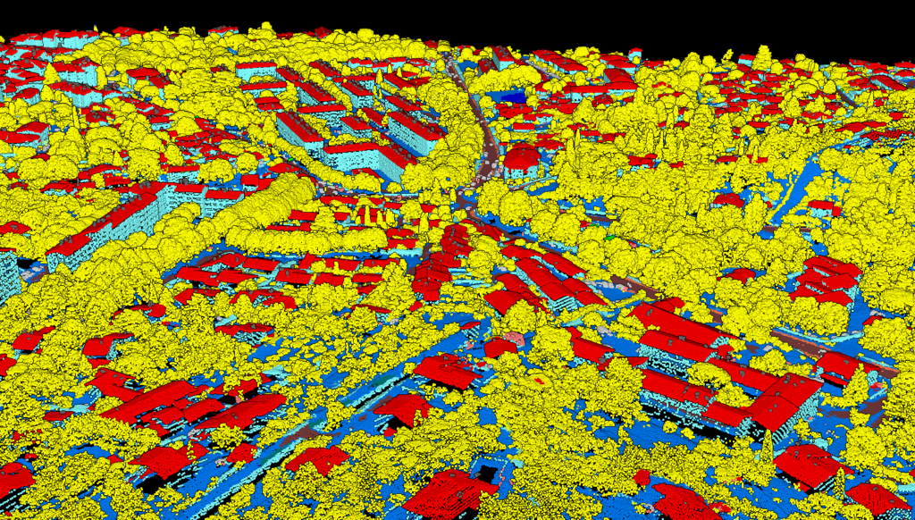
Point Cloud Classification
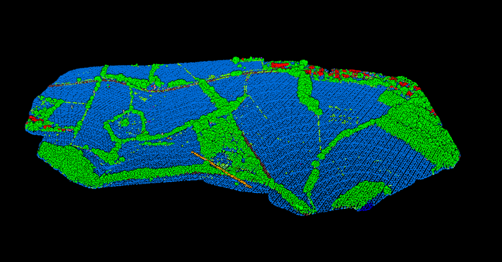
Point Cloud Rasterization
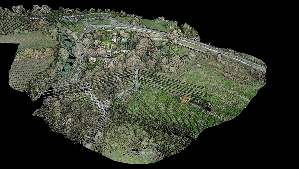
Point Cloud Vectorization
Processing API
Industry
Land Surveying
Utility Vegetation Management
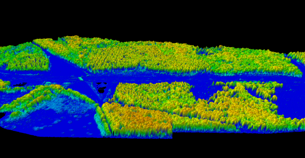
Forestry
Contact
Pricing
Log in
Try for free
Best Point Cloud Software: 12 Tools Compared (Free & Paid) [2026]
Forest Carbon Estimation from LiDAR: A Complete Guide to Regional Allometric Equations
Lidarvisor vs CloudCompare: Classify LiDAR Point Clouds in Minutes
LiDAR vs Radar: Key Differences Explained
LiDAR Mapping: The Complete Guide to Survey-Grade 3D Mapping
What is LiDAR? The Complete Beginner’s Guide to Laser Scanning [2026]
LiDAR Applications: 12 Industries Using Point Cloud Technology
Point Cloud Rendering: Visualize LiDAR Data in Minutes
LiDAR Drones: Complete Guide to UAV LiDAR Systems [2026]
How to Measure Tree Height with LiDAR: CHM Method Explained
1
2
3
4
…
7
Next
Menu
This website uses cookies to improve your experience. If you continue to use this site, you agree with it.
Ok