Features
Point Cloud Viewer
Point Cloud Preprocessing
Point Cloud Classification
Point Cloud Rasterization
Point Cloud Vectorization
Processing API
Industry
Land Surveying
Utility Vegetation Management
Forestry
Contact
Pricing
Log in
Try for free
How to Download Free LiDAR Data from IGN France (LiDAR HD)
How to Download Free LiDAR Data from the UK Environment Agency
How to Download Free LiDAR Data from Estonia (Maa-amet Geoportaal)
How to Download Free LiDAR Data for Germany NRW (North Rhine-Westphalia)
Download Free Ireland LiDAR Data: data.gov.ie + GSI Viewer Guide
How to Download Free LiDAR Data from DataMapWales
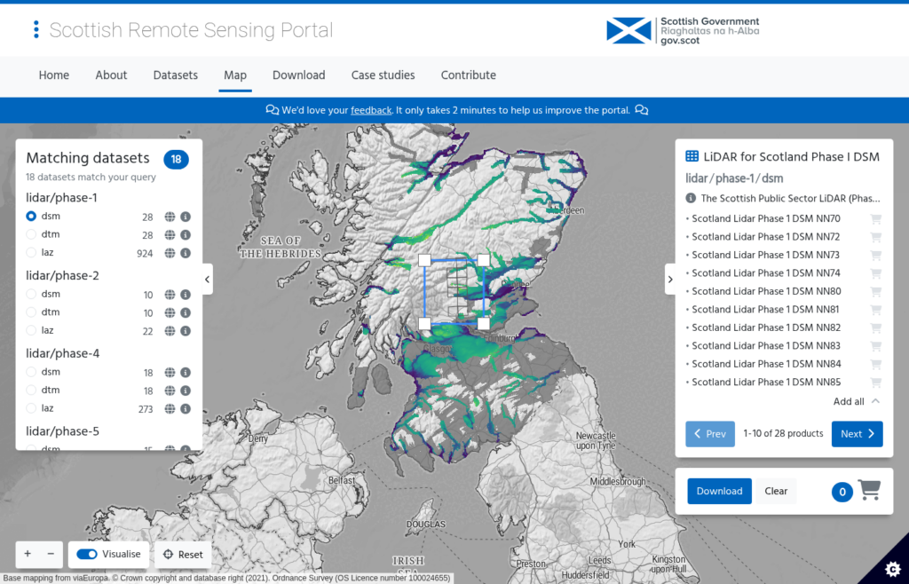
How to Download Free LiDAR Data from the Scottish Remote Sensing Portal
How to Download Free LiDAR Data from Denmark Dataforsyningen
How to Download Free LiDAR Data from Australia ELVIS
How to Download Free LiDAR Data from NEON (NSF National Ecological Observatory Network)
Previous
1
2
3
Next
Menu
This website uses cookies to improve your experience. If you continue to use this site, you agree with it.
Ok