Features
Point Cloud Viewer
Point Cloud Preprocessing
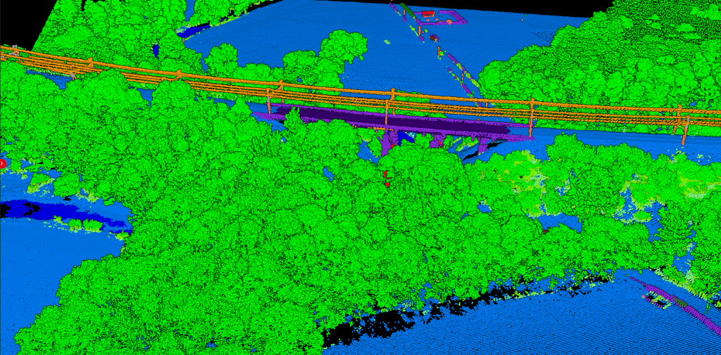
Point Cloud Classification
Point Cloud Rasterization
Point Cloud Vectorization
Processing API
Industry
Land Surveying
Utility Vegetation Management
Forestry
Contact
Pricing
Log in
Try for free
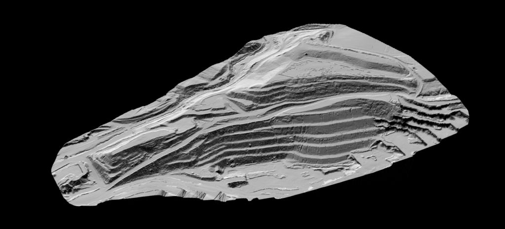
What is a Hillshade Map?
What is Point Cloud Classification?
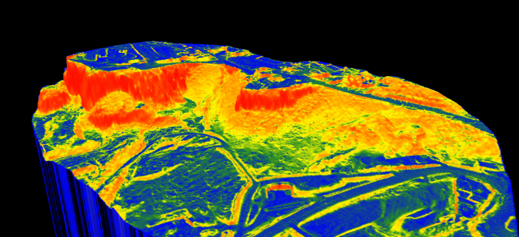
What is a Slope Map?
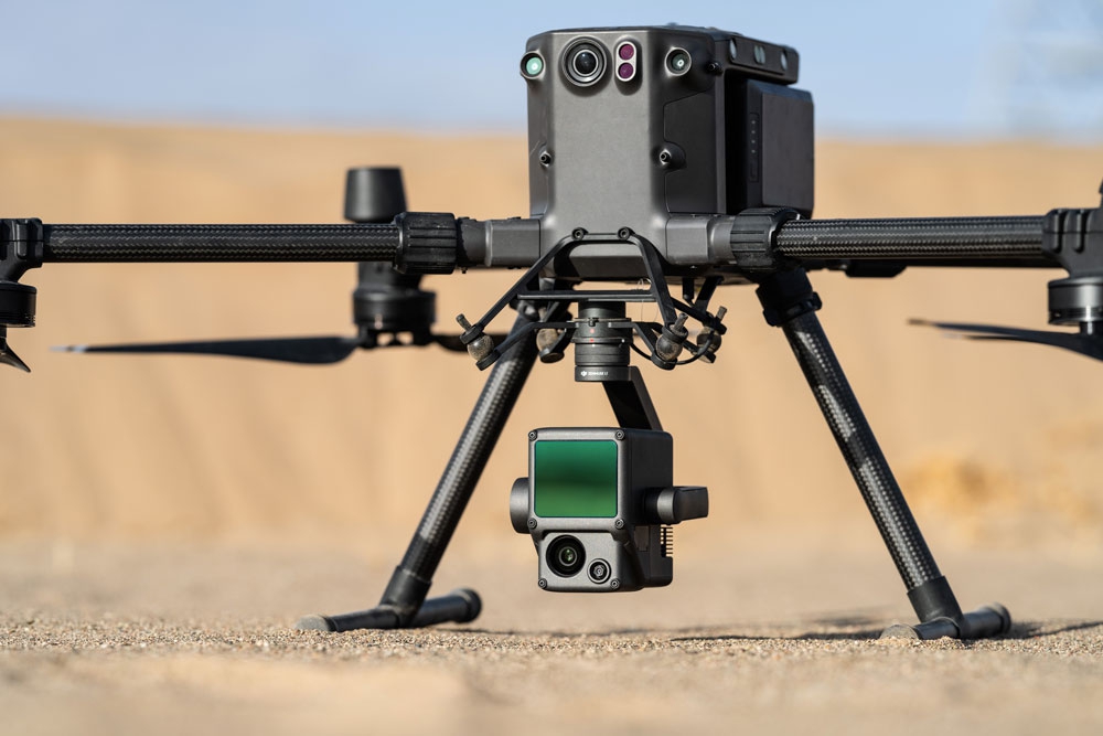
LiDAR Point Cloud: Understanding 3D Spatial Data
Previous
1
…
4
5
6
7
Menu
This website uses cookies to improve your experience. If you continue to use this site, you agree with it.
Ok