Automate 90%+ of Classification Work
What is Manual Point Cloud Classification?
Manual classification means selecting groups of points and assigning class labels (ground, vegetation, building, noise, etc.) by hand rather than relying on algorithms. You work directly with the 3D point cloud, visually identifying features and correcting misclassified points.
Every classification workflow involves some manual work. Even the best automated algorithms produce errors that require human review. The real question is: how much time do you spend on manual corrections?
When Manual Classification Makes Sense
Manual classification is appropriate in specific scenarios where human judgment outperforms algorithms.
For large-scale production work, pure manual classification is impractical. A dataset with 100 million points could take weeks to classify by hand. The smart approach: automated classification with targeted manual corrections only where needed.
The Smarter Approach: Automate First, Fix Later
01
Run AI Classification
Automated AI classification labels ground, vegetation, buildings, and infrastructure in minutes instead of days.
02
Review Results
Check for problem areas: bridges, complex terrain, dense canopy, and edge cases where algorithms struggle.
03
Targeted Corrections
Make manual corrections only where automation failed. This targeted approach saves hours compared to classifying from scratch.
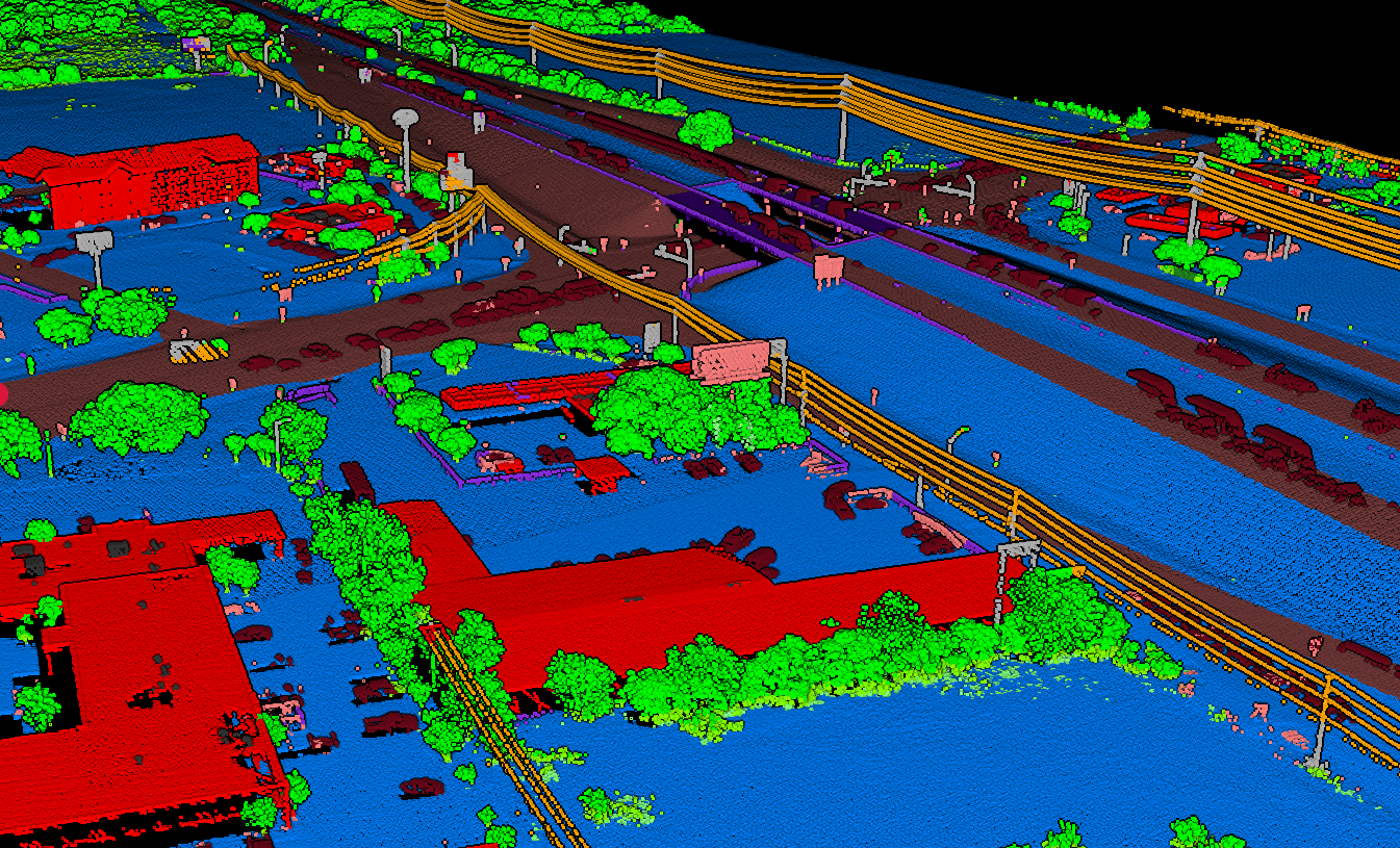
Lidarvisor classification uses machine learning to automatically identify ground, vegetation (low, medium, high), buildings, power lines, poles, bridges, and more. Upload your data, get classified results in minutes, then refine edge cases using built-in manual tools (brush selection, class permutation, filtering) — no need to export to another application.
Free Tools for Manual Point Cloud Classification
☁️
CloudCompare
Most popular open-source point cloud software
Features: Point selection by polygon/rectangle, segment selection, scalar field editing, cross-section views
Limitation: No automated ground classification — requires external tools first
🗺️
QGIS with LAStools
Free GIS platform with point cloud plugins
Features: Combined automated and manual classification through LAStools integration
Note: Free LAStools has point cloud size limits; production use requires licensing
👁️
Potree & Online Viewers
Browser-based visualization tools
Features: Visualize classified data, review classification quality, browser-based access
Limitation: Limited editing capabilities — best for review before detailed corrections
Manual Classification Workflow
01
Pre-Classification
Start with automated classification to handle the bulk of the work. Upload to Lidarvisor, get AI-classified results in minutes.
02
Visual Review
Load classified data into CloudCompare. Color by classification and look for vegetation/ground misclassifications, building edges, bridge decks, and noise.
03
Targeted Corrections
Use selection tools to isolate problem areas. In CloudCompare: Segment → Edit Scalar Fields → Classification → Assign correct class → Merge back.
04
Export & Validate
Export corrected LAS and generate DTM/contours to verify classification produces clean results without vegetation spikes or artifacts.
Why Professionals Are Moving to AI-Assisted Workflows
Pure Manual Classification
A 10-hectare site with 50+ million points could take days of manual work. Point-by-point selection is tedious, inconsistent, and prone to human error. Time-intensive for every project.
AI-Assisted Workflow
Automated classification in minutes instead of days. Algorithms apply consistent logic across the entire dataset. Manual review catches edge cases. Less billable time on repetitive labeling.
⚡
Speed
Minutes vs. days
🎯
Consistency
Same logic everywhere
✅
Quality
Human review for edge cases
💰
Cost Savings
Less billable hours
Get Started Today
For small projects or learning, CloudCompare is a good free option. Download it, load a sample LAS file, and practice selecting and editing classification values.
For production work where time matters, skip the manual grind. Lidarvisor offers 50 hectares of free AI classification. Upload your data, get classified results in minutes, then use built-in manual tools for any final touch-ups, or export to CloudCompare for specialized analysis.