
Learn LiDAR
LiDAR Point Cloud Processing: From Raw Data to Survey Deliverables
How Survey Teams Turn LAS/LAZ Data into DTM, DSM, Contours, and Classified Outputs
No credit card required • 50 hectares included
A LiDAR point cloud is the raw 3D dataset behind deliverables like DTM, DSM, contour lines, building footprints, tree metrics, and classified survey outputs. Whether the data comes from airborne, drone, or mobile capture, the processing workflow determines how quickly teams can turn dense point clouds into usable terrain and asset information.
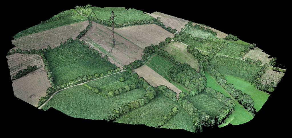
LiDAR point clouds can come from airborne surveys, drone flights, mobile mapping systems, or terrestrial scanners. No matter the platform, the capture workflow combines accurate positioning, laser measurements, and motion tracking to produce a georeferenced 3D dataset.
How LiDAR Point Cloud Data is Captured
Laser Scanner
The heart of LiDAR. Emits pulses of light towards the ground and captures reflections to calculate distances using ‘time of flight’ measurements.
GPS System
Provides precise geospatial positioning of the aircraft, ensuring each laser measurement maps accurately to specific geographic coordinates.
IMU Unit
Tracks aircraft speed, orientation, and angle, accounting for any motion that could affect measurement accuracy during flight.
How Time of Flight Works
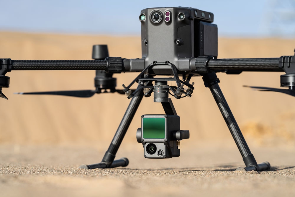
The laser scanner emits pulses toward the ground and measures the time taken for each pulse to return. This ‘time of flight’ measurement determines the exact distance traveled.
Together, these components produce dense, georeferenced 3D point clouds that can be filtered, classified, and converted into terrain, vegetation, and infrastructure deliverables for survey, forestry, utility, and construction workflows.
Navigating Data Collection Complexities
Flight Parameters
Flight Altitude: Directly influences area coverage and resolution. Higher altitudes allow broader coverage but reduce resolution, while lower altitudes provide finer details at reduced coverage.
Sensor Quality: High-grade sensors capture more accurate and dense data, crucial for detailed analysis.
Environmental Conditions: Clear weather is preferred as fog, rain, or clouds can interfere with laser transmission and reception.
From Raw Data to Actionable Insights
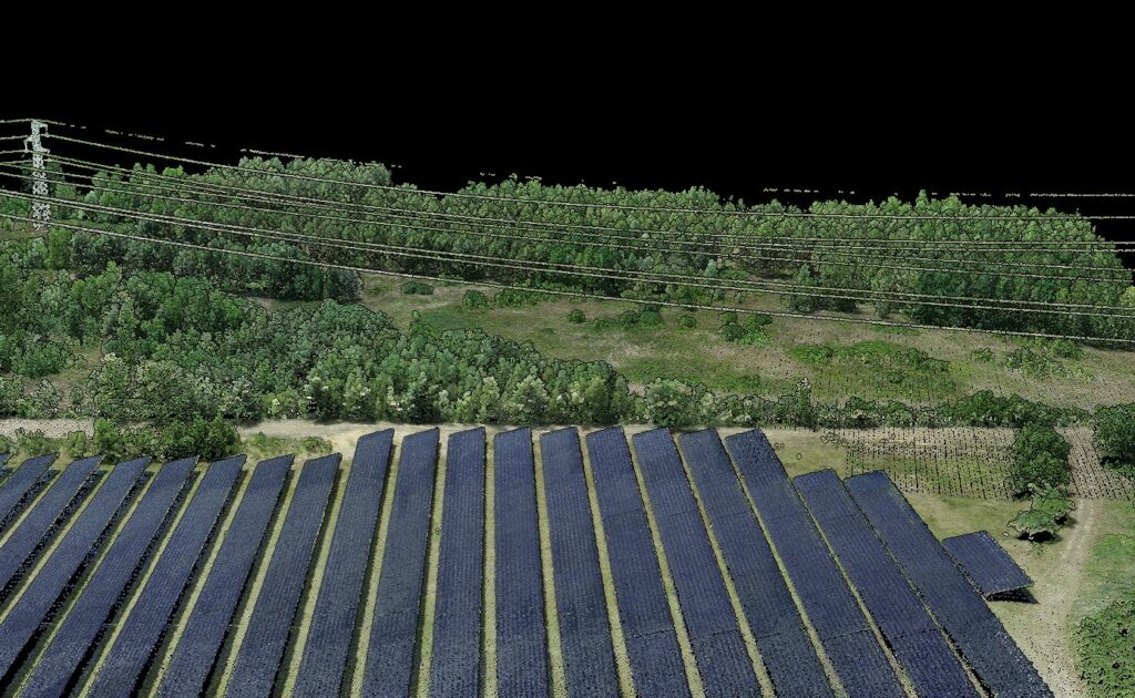
The value of LiDAR data lives in the point cloud itself: millions of XYZ points, return values, and classification-ready attributes that can be processed into terrain, surface, vegetation, and asset layers. The faster you can clean, classify, and export that dataset, the faster survey and GIS teams can move into design or analysis.
01
Filtering
The raw point cloud contains noise and irrelevant points like birds or atmospheric anomalies. Filtering removes these inaccuracies to enhance data reliability.
02
Classification
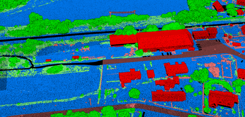
Points are classified into categories such as ground, vegetation, buildings, and water bodies. This is crucial for DEM creation where distinguishing ground from non-ground is vital.
03
Modeling
Create models based on classified data, including 3D terrain models, vegetation analysis for forestry, or urban infrastructure mapping.
Software Tools for Processing
Several specialized software tools facilitate processing steps. Tools like ArcGIS, QGIS, LASTools, and Terrascan are widely used for their robust capabilities in filtering, classification, and 3D modeling.
Lidarvisor is next-generation software, based on AI models, that allows you to automatically classify aerial LiDAR point clouds without fine-tuning any parameters. Lidarvisor leverages cloud computing to process massive point clouds from anywhere, simplifying workflows so anyone can use it without training.
Versatile Use Cases
Topography & Geomorphology
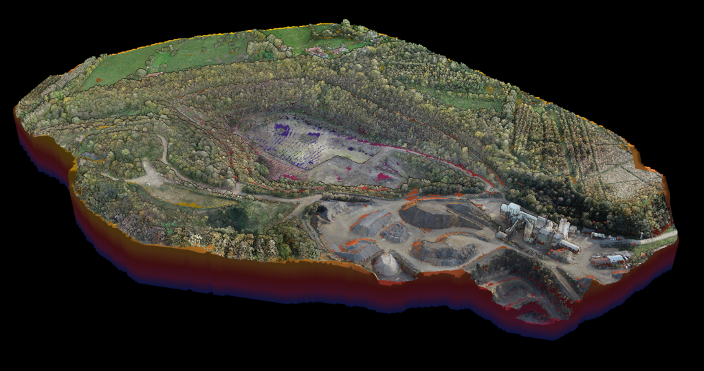
Airborne LiDAR provides high-resolution terrain data essential for creating accurate elevation models and analyzing landform structures. Its ability to penetrate vegetation cover allows detailed ground surface mapping, crucial for erosion studies and landscape change detection.
Forestry & Vegetation Analysis
Foresters leverage LiDAR for assessing forest canopy density, biomass estimation, and species identification. It aids effective forest management, conservation planning, and carbon stock estimation.
Urban Planning & Infrastructure
Urban planners use LiDAR data to model cityscapes, aiding infrastructure development, urban sprawl monitoring, and historical preservation. It’s particularly beneficial for flood modeling and sunlight exposure analysis.
Archaeology
In archaeology, airborne LiDAR has transformed landscape analysis. It helps detect and map hidden structures like ancient ruins and road networks, often obscured by vegetation, unraveling historical and cultural insights.
Challenges and Limitations
Despite its advantages, airborne LiDAR technology has challenges:
- Weather Dependency: Optimal data collection requires clear skies as fog, rain, or clouds can impede laser pulses
- High Costs: Equipment and operations, including aircraft and advanced sensors, can be prohibitive
- Data Management: Processing vast amounts of data requires substantial computing power and specialized software
- Expertise Required: Skilled professionals adept in geospatial analysis are needed
The Future of Airborne LiDAR
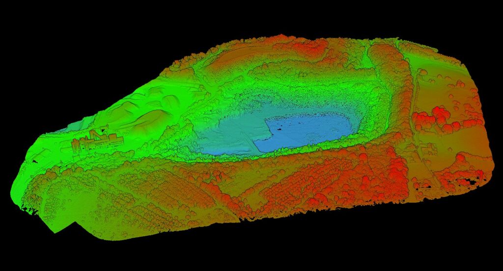
The future is marked by continuous innovation:
Multi-sensor Integration: Combining LiDAR with hyperspectral imaging enhances data richness and application potential.
AI Revolution: Advances in AI and machine learning enable more efficient and accurate interpretation of complex datasets.
Miniaturization: Smaller LiDAR systems make the technology more accessible and cost-effective, broadening applications across professional domains.
The Enduring Impact
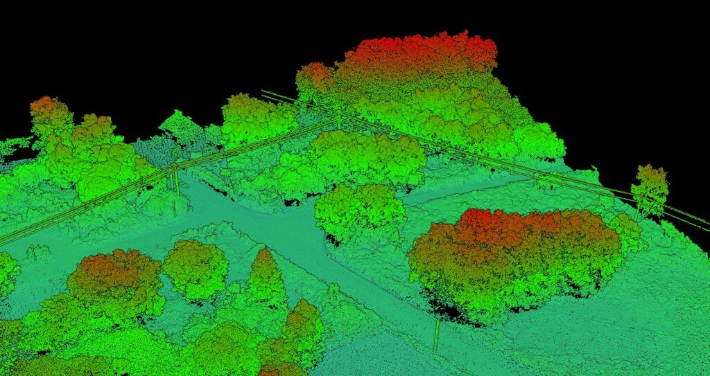
Airborne LiDAR technology has firmly established itself as a cornerstone in precise spatial data acquisition. Its ability to produce high-resolution, three-dimensional representations of the Earth’s surface has been transformative across multiple fields.
Staying abreast of advancements is crucial for experts who rely on accurate spatial data for analysis, planning, and decision-making.
Experience Next-Generation LiDAR Processing
Skip the complexity of traditional software. Upload your point cloud and let AI handle filtering, classification, and modeling automatically.
Related Guide
Need platform-specific guidance? Compare airborne LiDAR survey workflows with drone LiDAR processing to choose the right capture-to-deliverable path.