
DXF Topographic Map
CAD-ready map with organised layers: contours, buildings, vegetation, infrastructure. DXF
Features
Point Cloud Viewer Point Cloud Preprocessing Point Cloud Classification Point Cloud Rasterization Point Cloud Vectorization Photogrammetry Processing APIIndustry
Land Surveying Utility Vegetation Management Forestry Hydrology & WaterMore
Pricing ContactThe platform
AI classification, manual editing, terrain models and vector extraction, from a LiDAR point cloud or from your drone photos. From raw data to deliverable outputs in minutes — no parameter tuning, no plugins, no installation.
No credit card required • 50 hectares included
What the platform does
Each one runs from the same point cloud, or from the photos of your drone flight, in formats your existing tools already read.
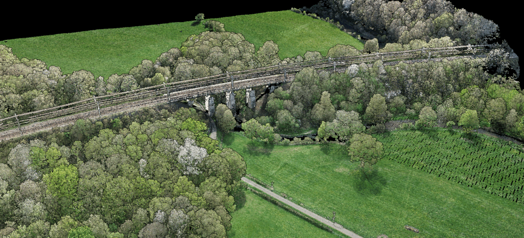
AI classification
12+ ASPRS classes, one click, no tuning.
Our AI automatically segments your point cloud into standard ASPRS LAS classes. It works on any terrain, flat or steep, urban or rural, without parameter adjustment.
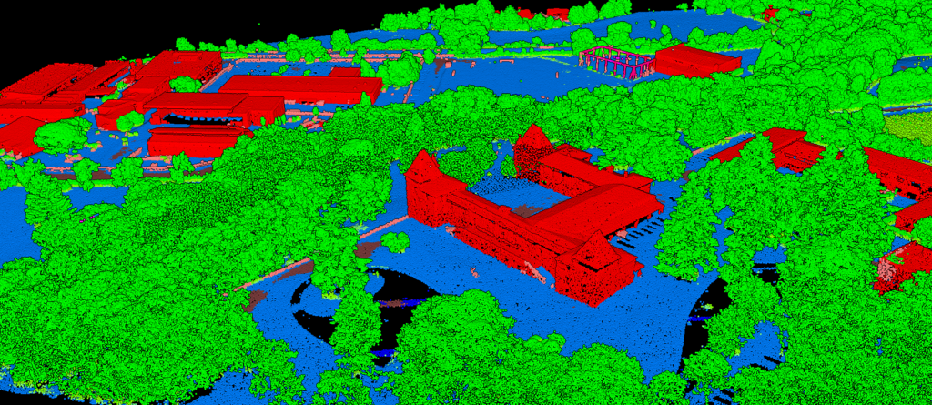
Rasters
Elevation and imagery in one georeferenced GeoTIFF.
Generate terrain models and surface analysis maps from the classified cloud. Each raster carries both elevation data and imagery, exported with full georeferencing.
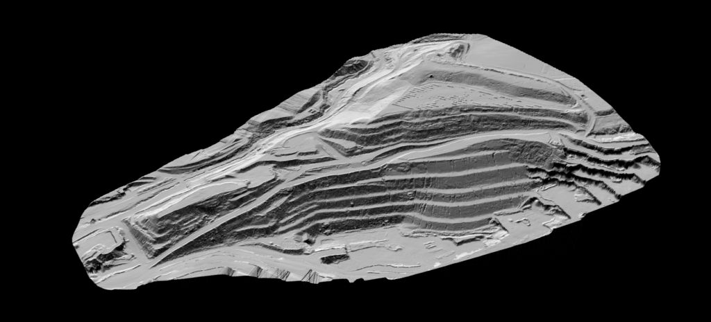
Vector extraction
Survey-grade vectors, extracted straight from the classified cloud.
Export to DXF, SHP or GeoJSON with organised layers ready for immediate use in CAD and GIS.
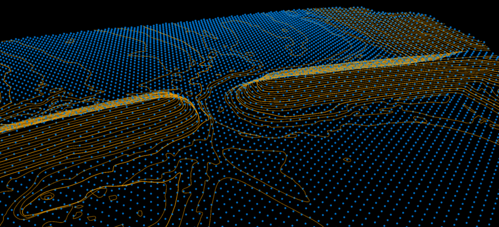
Survey-grade accuracy
Prove your accuracy, and correct it when it needs correcting.
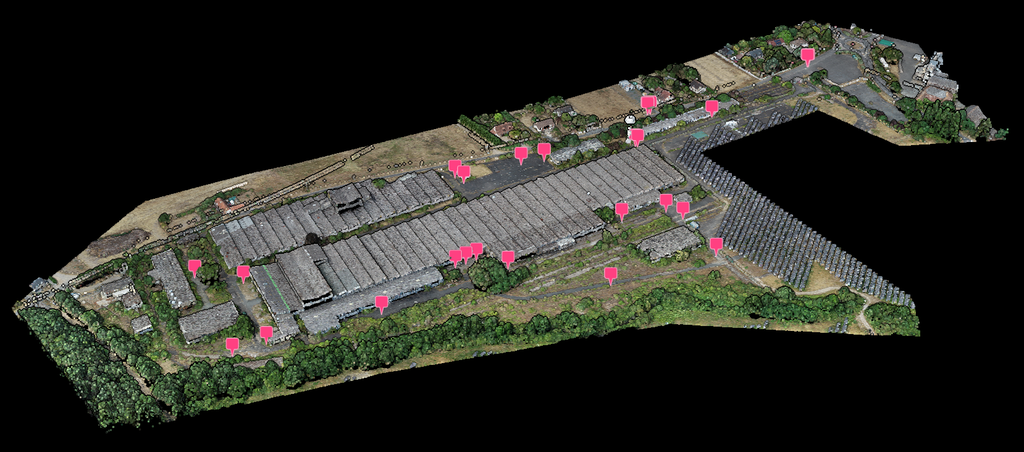
Import the control points from your ground survey and Lidarvisor checks the cloud against them automatically. If a correction helps, it recommends one and applies it during processing — and your report states the accuracy that was actually measured.
Photogrammetry
Fully automated, control point marking included.
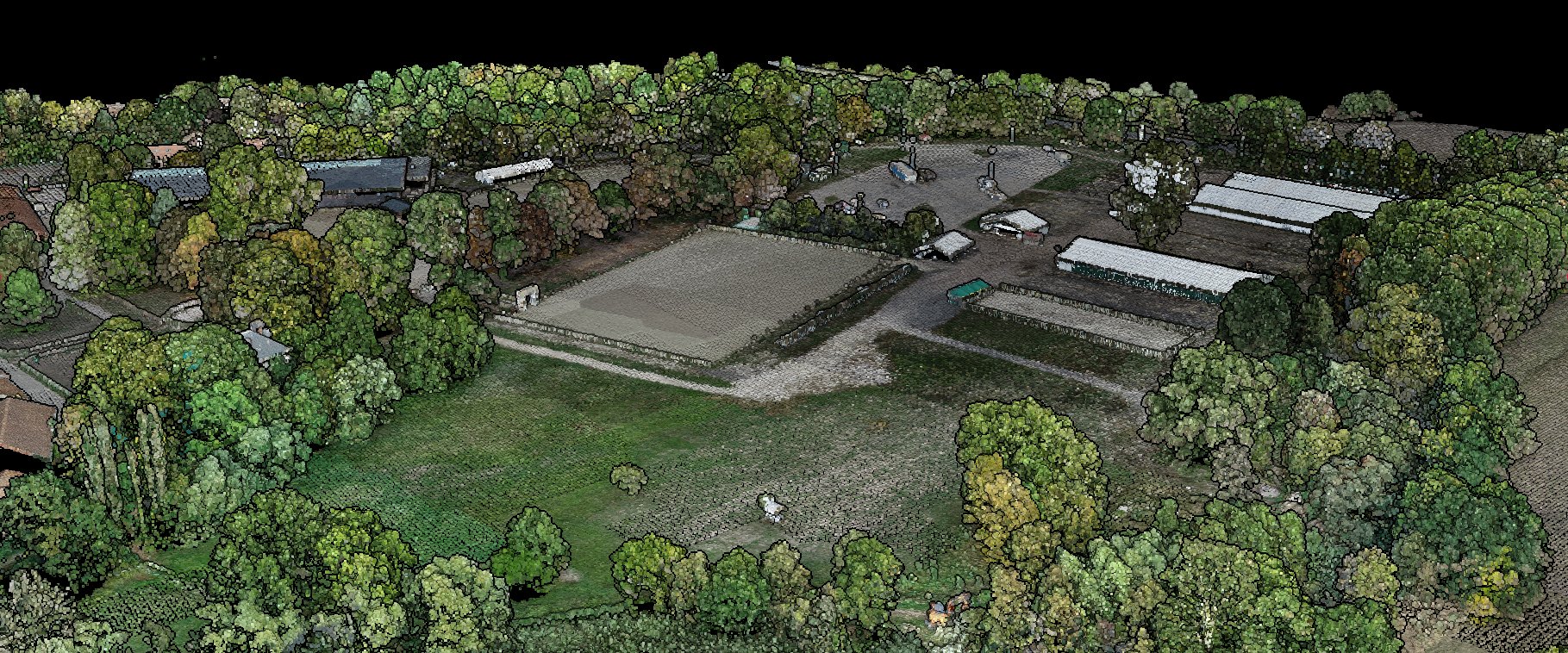
Upload the photos of your drone flight and click Process once. Lidarvisor builds a coloured point cloud and an orthophoto, marks your control points in the photos for you, then runs the rest of the processing on that cloud.
Visualization
Browser-based. No plugins, no installation.
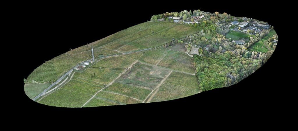
Explore your point clouds in full 3D. Filter by class, switch colour modes, and send clients a link that opens on the view you chose and shows only the layers you allow.
Deliverables
Generated for surveying, forestry and utility vegetation management.
CAD-ready map with organised layers: contours, buildings, vegetation, infrastructure. DXF
Individual tree detection with height, crown diameter, stem position and canopy area. PDF + CSV
Per-tree carbon stock, CO₂eq and biomass using more than 100 species models across 8 regions, IPCC-referenced. PDF + CSV
Encroachment analysis for power line corridors with risk classification and clearance measurements. PDF + Vectors
Export formats
| Output | Formats | Where it goes |
|---|---|---|
| Point clouds | LAS · LAZ | CloudCompare, TerraScan, Global Mapper |
| Rasters | GeoTIFF | QGIS, ArcGIS, Civil 3D |
| Vectors | DXF · SHP · GeoJSON | AutoCAD, GIS, web mapping |
| Reports | PDF · CSV | Client deliverables and spreadsheets |
How it works
LAS files up to 250 GB, LAZ up to 50 GB, or the JPEG photos of a drone flight. Every EPSG projected and geographic system.
The AI classifies automatically. No parameter tuning needed.
Create rasters, vectors and reports with one click.
Export in industry-standard formats, ready for your workflow.
Who it's for
Contours, TINs and topographic deliverables in minutes.
Tree inventories with carbon estimation, CSV export and PDF reports.
Building footprints and terrain models for city planning.
Powerline vectors, a tower and span inventory, and vegetation clearance analysis.
Customer stories
The powerful classification is the best feature. It saves a lot of time and money compared to manual classification or expensive solutions.
 Emilio Segovia
We saved a lot of time classifying our point clouds. Not only classified data, but also DEM, DSM, DXF exports we could use directly in our analysis software.
 Marcel Aertssen
Excellent software. Processing is extremely fast and highly accurate. Exemplary DSM and DTM outputs.
 Theoharis Papadiamantis
Lidarvisor has transformed my LiDAR post-processing workflow. The speed of results is impressive, all the useful data is correlated, and what I find exceptional is the DXF export function.
 Carolina Collaro
We used to outsource our LiDAR processing. With Lidarvisor, we brought it in-house and cut our costs significantly while keeping full control over the workflow.
 Bodie Lloyd Kirori
We tested Lidarvisor and achieved excellent results using a single platform. Previously, we needed up to three different programs to get similar results, which took us far more time and effort.
 Eduardo Bonilla
For developers
Learn how to make the most of Lidarvisor with our documentation and API reference.
Start with 50 hectares of free processing. No credit card required. Full feature access from day one.
Create free accountQuestions? Contact our team or check our pricing plans