
Surveyors
Accurate terrain models and contours, ready for your workflow.
Features
Point Cloud Viewer Point Cloud Preprocessing Point Cloud Classification Point Cloud Rasterization Point Cloud Vectorization Processing APIIndustry
Land Surveying Utility Vegetation Management Forestry Hydrology & WaterMore
Pricing ContactAbout Lidarvisor
Cloud-based point cloud processing that delivers professional results in minutes, not hours. No software to install, no specialized hardware, no weeklong training course.
No credit card required • 50 hectares included
Why we built it
LiDAR capture got cheap and accurate. Turning what it captures into deliverables did not.
The opportunity
Drones are affordable, sensors are accurate, and point cloud data is everywhere.
We saw an opportunity to make the processing side just as accessible. Surveyors could spend more time on analysis. Drone operators could deliver complete solutions. GIS professionals could focus on insights instead of infrastructure. That is the vision behind Lidarvisor.
What it does
LiDAR processing for everyone, running entirely in your browser.
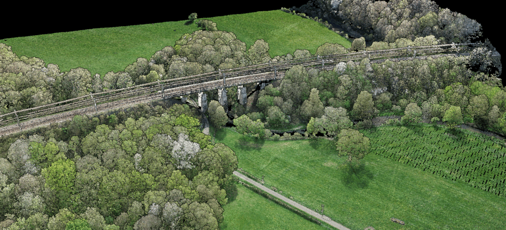
Our AI engine handles the complexity, with automatic classification across ground, vegetation, buildings, power lines and more. You focus on your actual work.
Why we started
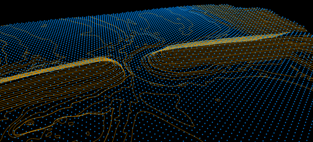
We built Lidarvisor so any drone operator can go from raw point cloud to professional deliverables. Our goal is simple: make powerful LiDAR processing accessible to everyone.
Who it is for
Accurate terrain models and contours, ready for your workflow.
Deliver complete, professional products to your clients.
CAD-ready outputs in DXF, ready for design work.
More time for analysis, less time on processing.
Fast, reliable classification for vegetation and infrastructure.
No specialist training needed to get a usable deliverable.
How it works
Works on any computer with an internet connection.
12+ categories, high accuracy, zero parameter tuning.
Classified point clouds, DTMs and vector layers ready for CAD.
Process your first 50 hectares free. No credit card. No sales calls. Just upload and see what Lidarvisor can do.
Try freeQuestions first? Talk to our team