What is the Scottish Remote Sensing Portal?
The Scottish Remote Sensing Portal is a collaborative initiative between the Scottish Government and the Joint Nature Conservation Committee (JNCC). It provides free access to airborne LiDAR data collected across Scotland by various public sector organizations.
Key Features
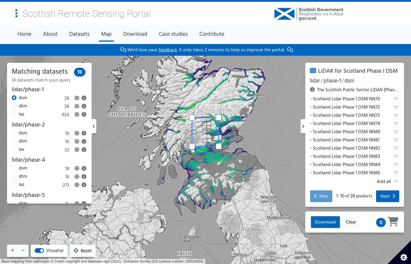
- 47+ datasets covering different regions and time periods
- Multiple phases of data collection (Phase I through VI, plus specialized projects)
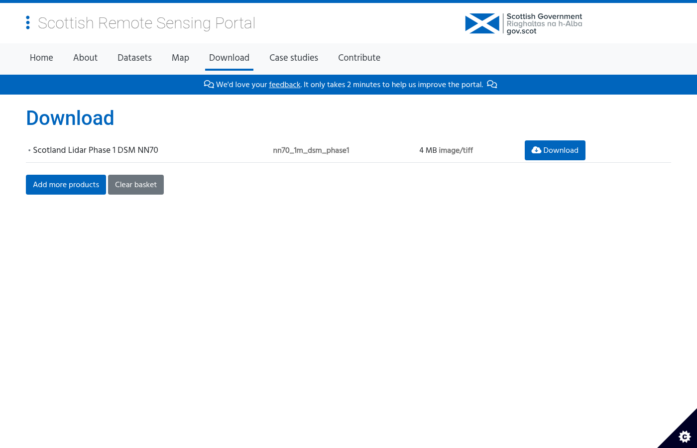
- Point cloud and raster products including DTM, DSM, and LAZ files
- 10 km tile downloads aligned to the British National Grid
- WMS web services for direct integration into GIS applications
- Free for most uses under the Open Government Licence v3