Step-by-Step Tutorial
What is Open GeoData NRW?
Open GeoData NRW is North Rhine-Westphalia’s official open data portal operated by Geobasis NRW (the state surveying authority). It provides free access to high-quality LiDAR-derived elevation data, including Digital Terrain Models (DGM) and Digital Surface Models (DOM) covering all of Nordrhein-Westfalen.
Open GeoData NRW portal showing available elevation data products
01
Navigate to Open GeoData NRW
Go to opengeodata.nrw.de/produkte/geobasis/hm/ to access the Höhenmodelle (elevation models) from Geobasis NRW.
The portal features:
- DGM (Digitales Geländemodell) – Digital Terrain Model (bare earth)
- DOM (Digitales Oberflächenmodell) – Digital Surface Model (with features)
- Multiple resolutions – Available at 1m, 10m, and other grid sizes
- Direct download – No registration required
02
Select Your Desired Product
Choose between DGM or DOM based on your needs:
- DGM (Digital Terrain Model) – Bare earth elevation with buildings and vegetation removed. Best for terrain analysis and hydrology.
- DOM (Digital Surface Model) – Surface elevation including all features like buildings and trees. Best for urban modeling and visibility analysis.
Both products are available at 1-meter resolution (DGM1/DOM1) derived from airborne LiDAR surveys conducted across the entire state.
Product selection showing DGM and DOM options
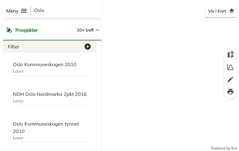
Folder structure organized by UTM grid tiles
03
Browse the Tile Index
The data is organized by UTM grid tiles covering the entire state.
Navigate the folder structure to find tiles for your area:
- Tile naming – Based on UTM Zone 32N coordinates (EPSG:25832)
- Coverage – Each tile covers a specific geographic extent
- Index maps – Available to help locate your area of interest
Tip: Use the tile index overview to identify which tiles cover your project area before downloading.
04
Download and Use the Data
Download the files directly – no account required!
Available formats:
- GeoTIFF – Standard raster format for GIS software
- XYZ ASCII – Text-based point format for flexibility
License: Datenlizenz Deutschland – Namensnennung – Version 2.0 (dl-de/by-2-0). Free for commercial and non-commercial use with attribution to Geobasis NRW.
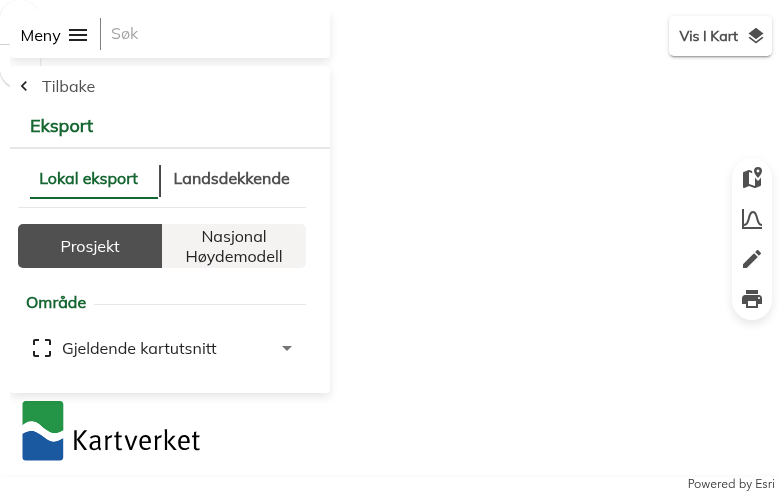
Direct download links for GeoTIFF and XYZ formats
Available File Formats
Geobasis NRW offers multiple data formats optimized for different use cases:
| Format | Type | Best For |
|---|---|---|
| GeoTIFF | Raster | Standard format for GIS software – QGIS, ArcGIS, Global Mapper |
| XYZ ASCII | Point | Text-based elevation points – maximum flexibility for custom processing |
| DGM1 | Terrain | 1-meter resolution bare earth model – terrain analysis, hydrology |
| DOM1 | Surface | 1-meter resolution surface model – urban planning, visibility studies |
Tips for Downloading NRW LiDAR Data
🎯 Choose the Right Model
Use DGM for terrain analysis (hydrology, slopes) and DOM when you need building heights and vegetation canopy information.
📦 Use GeoTIFF Format
GeoTIFF is universally supported and includes coordinate reference information. Most GIS software opens it directly.
🗺️ Know Your Coordinate System
NRW data uses ETRS89/UTM Zone 32N (EPSG:25832). Set this CRS in your GIS software for proper alignment.
🔍 Start Small
Download a small test area first to verify format compatibility before downloading large datasets covering your full project area.
Process Your NRW LiDAR in Lidarvisor
Downloaded your Geobasis NRW files? Process them instantly in the cloud with Lidarvisor.
With Lidarvisor, you can:
✦ Upload GeoTIFF elevation files directly to the cloud
✦ Generate hillshade visualizations and contour lines
✦ Create slope and aspect analysis maps
✦ Export to CAD-ready formats (DXF, SHP)
✦ Process large datasets without hardware limitations
Frequently Asked Questions
Yes! All data from Open GeoData NRW is available free of charge under the Datenlizenz Deutschland – Namensnennung – Version 2.0 (dl-de/by-2-0). This open data license allows commercial and non-commercial use with proper attribution to Geobasis NRW.
No registration is required. The Open GeoData NRW portal provides direct download access to all data products. Simply navigate to your desired dataset and download the files directly.
Geobasis NRW provides DGM and DOM data at 1-meter resolution (DGM1/DOM1). This high-resolution data is derived from airborne LiDAR surveys conducted across the entire state of North Rhine-Westphalia. Lower resolution versions (10m, 50m) are also available for large-area analysis.
DGM (Digitales Geländemodell) is the Digital Terrain Model showing bare earth elevation with buildings and vegetation removed. It represents the actual ground surface.
DOM (Digitales Oberflächenmodell) is the Digital Surface Model capturing the top of all features including buildings, trees, and other structures. The difference between DOM and DGM gives you building and vegetation heights.
NRW data uses the ETRS89/UTM Zone 32N coordinate reference system (EPSG:25832). This is the standard coordinate system for North Rhine-Westphalia and much of western Germany. Make sure to set this CRS in your GIS software for proper positioning.
The elevation models from Geobasis NRW are typically available in:
- GeoTIFF – Standard georeferenced raster format, universally supported
- XYZ ASCII – Text-based point format for maximum flexibility
GeoTIFF is recommended for most users as it includes embedded coordinate reference information.