
Learn LiDAR
LiDAR Carbon Estimation for Forestry: Calculate Biomass & CO₂
Scientifically validated allometric equations for 8 global forest regions
No credit card required • 50 hectares included
Manual carbon stock calculations require field crews, expensive equipment, and weeks of data collection. With LiDAR-based carbon estimation, you can calculate per-tree biomass and CO₂ equivalent values from your point cloud in minutes. Results are ready for carbon credit verification, environmental planning, or forest management reporting.
How Carbon Estimation Works in Lidarvisor
When you process LiDAR data in Lidarvisor, the Carbon Estimation feature follows a scientifically rigorous pipeline to calculate carbon stocks for each detected tree
CHM Generation
Create a Canopy Height Model representing tree heights above ground.
Tree Detection
Identify individual trees using watershed segmentation algorithms.
Metrics Extraction
Measure height and crown area for each detected tree.
DBH Estimation
Calculate diameter using region-specific height-to-DBH allometrics.
Biomass Calculation
Compute above-ground biomass using species-specific equations.
Carbon Stock
Total biomass × carbon fraction (typically 0.47, or 0.50 for Australia).
CO₂ Equivalent
Carbon × 3.67 (molecular weight ratio of CO₂ to C).
Using Carbon Estimation in Lidarvisor
To enable carbon estimation when processing your LiDAR data:
- Navigate to the Processing Options panel
- Expand the Report Options section
- Enable Generate Digital Forest Inventory
- Toggle on Carbon Estimation
- Select your Allometric Region (8 options)
- Choose the Dominant Species for your forest
The Eight Global Forest Regions
Lidarvisor supports carbon estimation across eight distinct global forest regions, each with carefully researched allometric equations based on peer-reviewed scientific literature
Europe
Beech, Spruce, Pine, Oak
United States
Pine, Fir, Oak, Maple
Canada
Black Spruce, Jack Pine
Tropical
Teak, Mahogany, Palm
Australia
Eucalyptus, Radiata Pine
Boreal / Russia
Larch, Birch, Fir
East Asia
Sugi, Korean Pine, Fir
African Dryland
Acacia, Miombo species
European Temperate & Boreal Forests
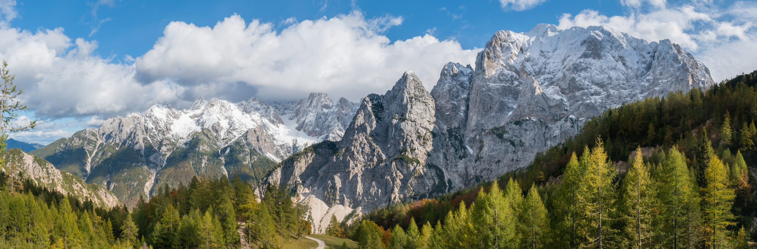
From ancient beech forests to Nordic pine stands
European equations draw upon decades of research, particularly the pan-European dataset by Zianis et al. (2005) containing 607 biomass equations, alongside Forrester et al. (2017) which analyzed 24 species while accounting for stand structure effects.
- Scots Pine: Most widely distributed pine in the world
- Norway Spruce: Iconic conifer of Alpine and Nordic forests
- European Beech: Queen of European hardwoods
- Pedunculate Oak: Backbone of temperate deciduous forests
American Forests: Coast to Coast
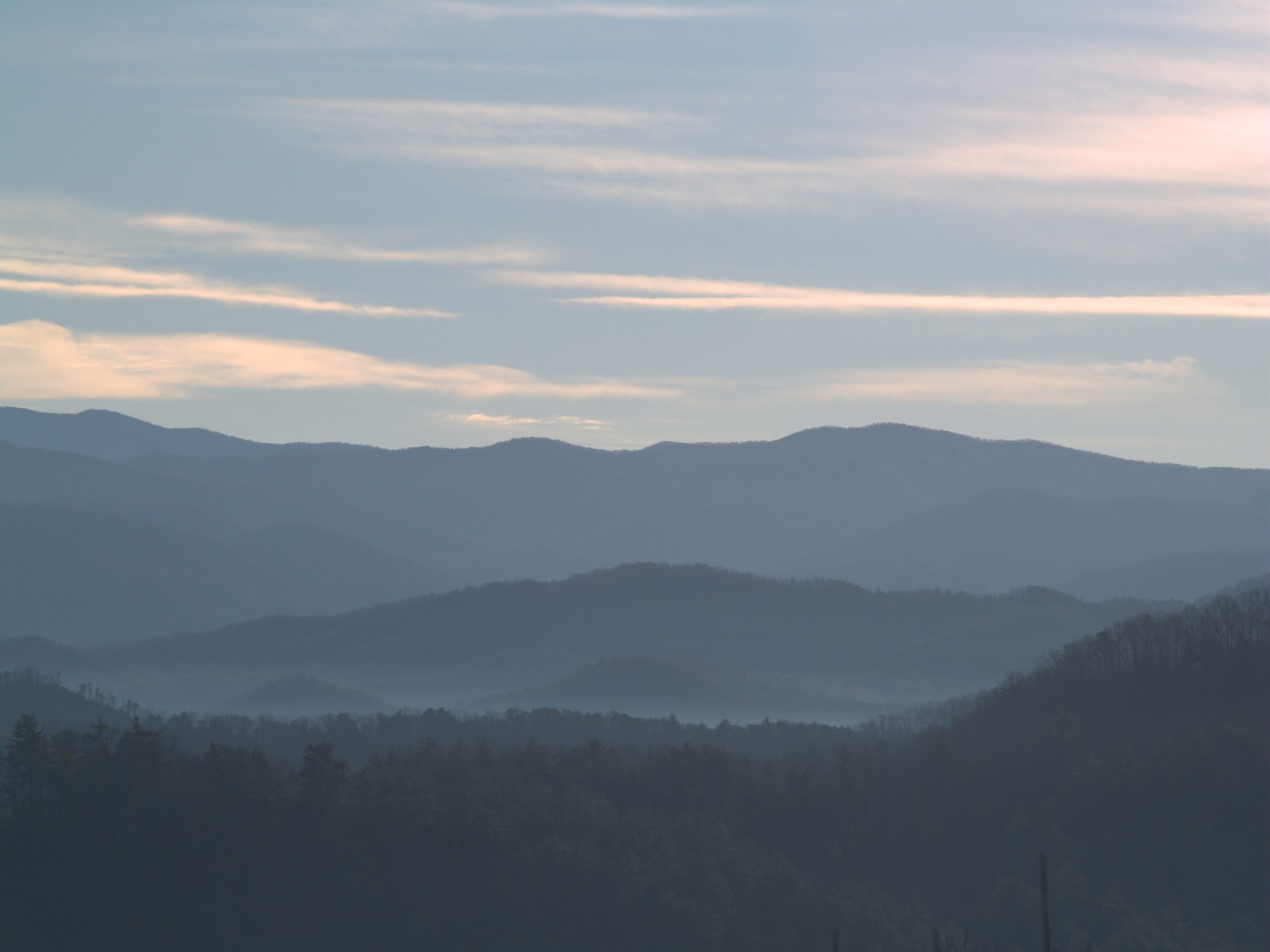
From towering redwoods to Appalachian hardwoods
Built upon the definitive Jenkins et al. (2003) meta-analysis in Forest Science, which compiled 2,640 diameter-based equations and developed consistent national-scale estimates. Uses functional species groups rather than individual species.
- Softwoods: Pine, Spruce, Douglas-fir, True Fir/Hemlock
- Hardwoods: Maple, Oak/Hickory, Aspen/Alder
- Woodland: Juniper, Mesquite (Southwest dryland)
CANADA
Canadian Boreal Zone
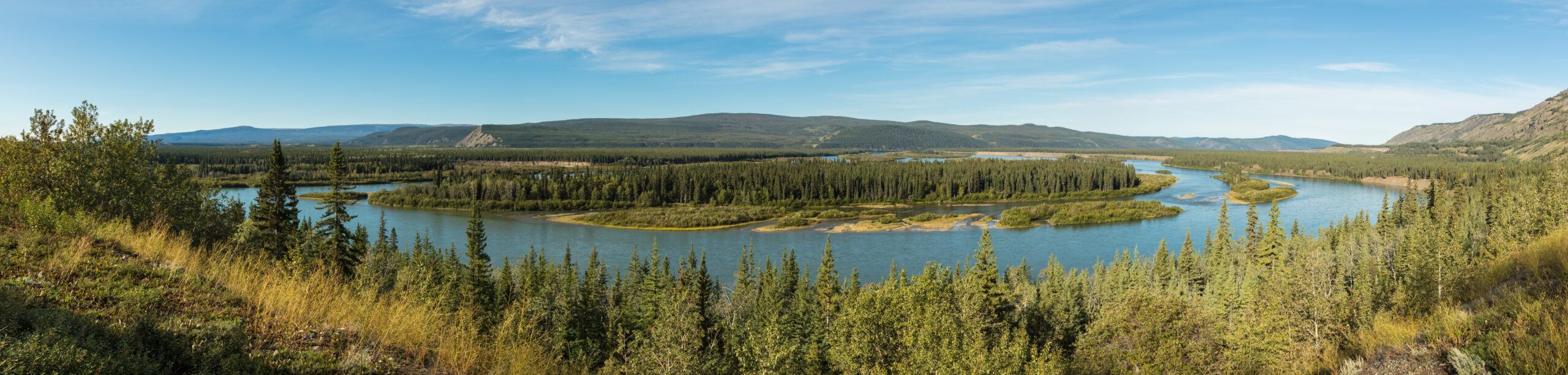
9% of the world’s forests, from Alaska to Newfoundland
Utilizes equations from the Canadian Forest Service ENFOR program, particularly Lambert et al. (2005) covering 33 species. Includes special peatland adjustments for permafrost-influenced forests with +0.06 root-to-shoot ratio adjustment.
- Black Spruce: Defining tree of Canadian peatlands
- Jack Pine: Fire-adapted pioneer species
- Balsam Fir: Dominant in eastern boreal
- Trembling Aspen: Most widely distributed in NA
Pantropical Rainforests
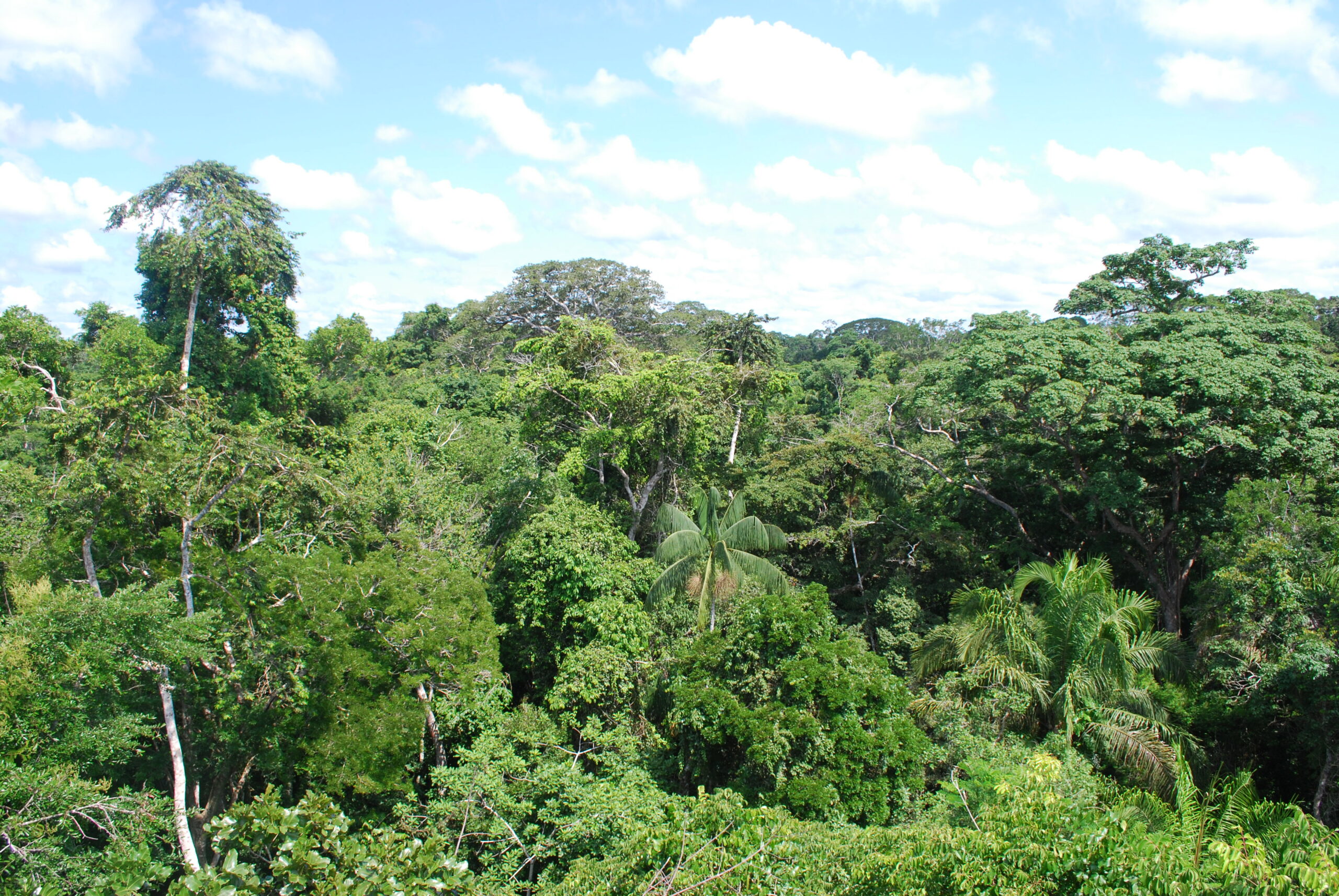
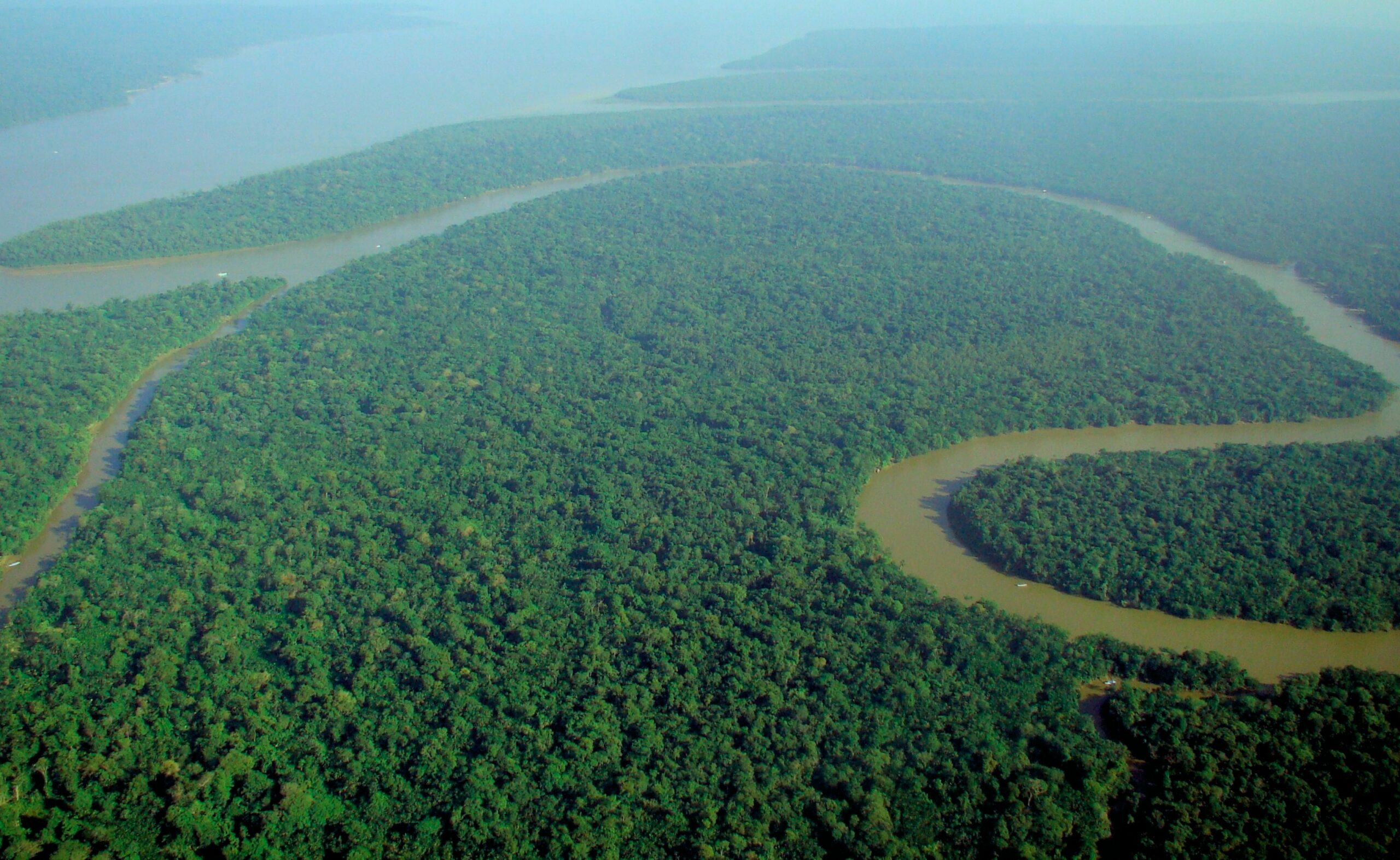
250+ billion tons of carbon: Earth’s most carbon-dense ecosystems
Implements the globally recognized Chave et al. (2014) pantropical equations from 4,004 destructively sampled trees across 58 sites. Critically incorporates wood density (ρ) in calculations: AGB = 0.0673 × (ρ × D² × H)^0.976.
- Teak (0.55 g/cm³), Mahogany (0.54)
- Dipterocarp (0.52), Rubber (0.56)
- Root-to-shoot: 0.24 rainforest, 0.56 dry forest
AUSTRALIA
Australian Eucalypt Forests
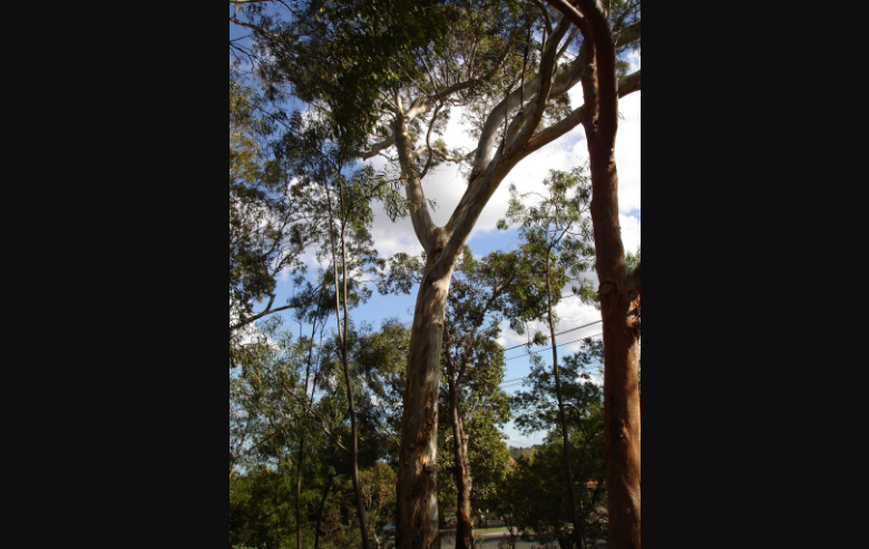
800+ Eucalyptus species: the world’s most distinctive trees
Based on the National Carbon Accounting System (NCAS) Technical Reports and Paul et al. (2016). Uses a higher carbon fraction of 0.50 (vs 0.47 IPCC default) reflecting eucalypt wood chemistry.
- Temperate: Blue Gum, Blackbutt, Messmate
- Savanna: Darwin Stringybark, Woollybutt
- Plantation: Radiata Pine, Spotted Gum
Siberian Taiga
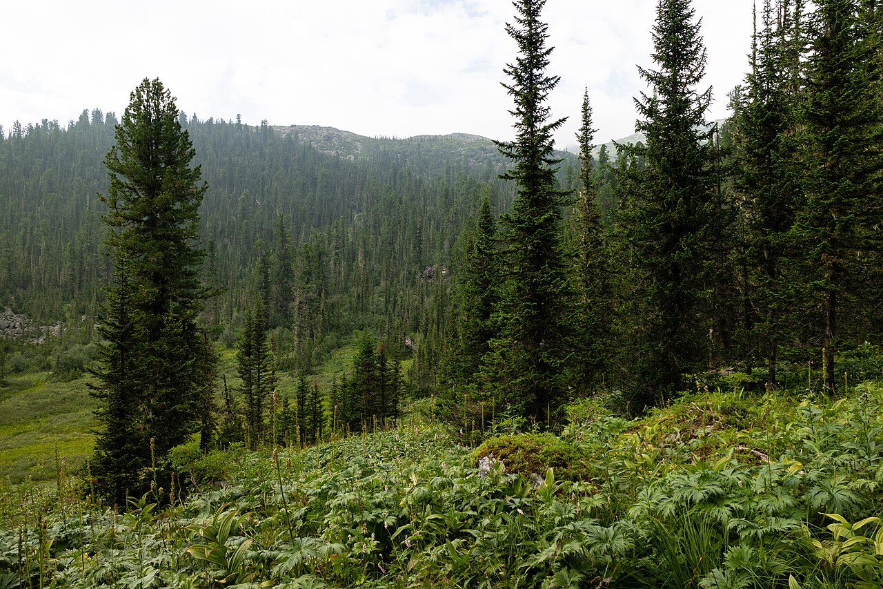
World’s largest terrestrial ecosystem: 20% of global forest carbon
Incorporates Finnish studies (Repola 2008-09), Swedish Marklund (1988) equations, and Schepaschenko et al. (2017) Eurasia dataset with 10,351 forest plots. Includes +0.05 permafrost adjustment for root biomass.
- Larch species: Siberian, Dahurian, Cajander
- Conifers: Scots Pine, Siberian Spruce & Fir
- Hardwoods: Silver and Downy Birch
EAST ASIA
China, Japan & Korea
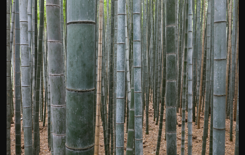
200+ species across temperate and subtropical zones
Draws upon Wang (2006) for Chinese species, Hosoda & Iehara (2010) for Japanese plantations, and the ESSD China database with 5,924 equations. Uses log-linear form requiring exponentiation.
- Chinese: Korean Pine, Chinese Fir, Masson Pine
- Japanese: Sugi (sacred cedar), Hinoki
- Root-to-shoot ratios: 0.22-0.26
Savanna & Miombo Woodlands
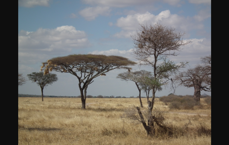
65% of Africa’s land: most carbon-rich non-forest biomes
Incorporates Chidumayo (1990), Ryan et al. (2011), and the Carboafrica database with 850 equations. Features extremely high root-to-shoot ratios (0.40-0.56) reflecting millennia of drought/fire adaptation.
- Miombo: Brachystegia, Julbernardia, African Teak
- Acacia: Umbrella Thorn, White Thorn, Gum Arabic
- Wood densities: 0.68-0.78 g/cm³
Understanding Carbon Estimation Outputs
When carbon estimation is enabled, your Lidarvisor forest inventory report includes the following metrics for each detected tree
Crown & DBH
Crown Diameter (m) and Estimated DBH (cm) derived from height-DBH allometric relationships.
Biomass (kg)
Above-Ground (stem, branch, foliage), Below-Ground (roots), and Total Biomass per tree.
Carbon & CO₂
Carbon Stock (kg) and CO₂ Equivalent (kg) ready for carbon credit verification.
Accuracy and Limitations
Understanding the uncertainty inherent in LiDAR-based carbon estimation
| Error Source | Typical Error |
|---|---|
| LiDAR height measurement | ±0.5-1.0 m |
| Crown delineation | ±10-20% area |
| Height to DBH estimation | ±15-25% |
| Biomass equation | ±20-30% |
| Combined individual tree | ±25-40% |
| Stand-level estimate | ±15-25% |
Stand-level estimates are more reliable due to error compensation across many trees.
Key Scientific References
The allometric equations in Lidarvisor are based on peer-reviewed scientific literature:
- • Chave et al. (2014): Improved allometric models for tropical trees (Global Change Biology)
- • Jenkins et al. (2003): National-scale biomass estimators for US tree species (Forest Science)
- • Forrester et al. (2017): Generalized biomass equations for European tree species (Forest Ecology and Management)
Frequently Asked Questions
How accurate is LiDAR-based carbon estimation compared to field surveys?
At the stand level, LiDAR-based carbon estimates typically achieve ±15-25% accuracy compared to destructive sampling, which is comparable to traditional field inventory methods. Individual tree estimates have higher uncertainty (±25-40%), but errors tend to compensate across many trees. For carbon credit verification, LiDAR estimates should be validated against field plots.
What if my forest has mixed species?
Select the dominant species that represents the majority of your forest’s biomass. For highly mixed forests, the “Mixed Hardwood” (US) or generic broadleaf options provide reasonable estimates. Lidarvisor’s allometric equations are designed to be robust even when exact species composition varies within a forest stand.
Can I use carbon estimates for carbon credit verification?
Lidarvisor’s carbon estimates are based on peer-reviewed, scientifically validated allometric equations used in national forest inventories worldwide. The output provides metrics required for carbon credit methodologies (biomass, carbon stock, CO₂ equivalent). For formal verification, most methodologies require calibration with field validation plots. Lidarvisor provides the remote sensing component of this workflow.
What LiDAR specifications are needed for carbon estimation?
For accurate individual tree detection and carbon estimation, we recommend: point density of at least 10 points/m² (20+ preferred for dense forests), multiple returns to capture canopy structure, and a Canopy Height Model (CHM) resolution of 0.5-1.0 meters. Lower density LiDAR can still provide stand-level estimates but with reduced tree detection accuracy.
Why does Australia use a different carbon fraction (0.50 vs 0.47)?
Eucalyptus wood contains more carbon per unit dry weight than most other tree species due to its unique wood chemistry. The Australian National Carbon Accounting System specifies 0.50 as the carbon fraction for eucalypts, compared to the IPCC default of 0.47 used for most other tree types. This ensures Australian carbon estimates align with national reporting standards.
Ready to Calculate Forest Carbon?
Skip the expensive field surveys and weeks of data collection. Upload your LiDAR point cloud, select your region and species, and get scientifically validated carbon stock estimates in minutes. No software to install. No parameters to tune. Just upload and process.
Create free account50 hectares free. No credit card. No software to install.