A 5-Minute Guide to Laser Scanning
What is LiDAR?
LiDAR stands for Light Detection and Ranging. It’s a remote sensing technology that uses laser light to measure distances with high precision. By rapidly firing laser pulses and measuring how long each takes to return, LiDAR systems create detailed 3D maps called point clouds.
Think of it like echolocation used by bats, but with light instead of sound. A LiDAR sensor sends out laser pulses, they bounce off surfaces, and the sensor measures the return time. Since we know light travels at a constant speed (about 299,792 kilometers per second), the system can calculate the exact distance to each reflection point.
How LiDAR Works: Step by Step
From laser pulse to 3D point cloud in four steps
01
Laser Emission
The LiDAR sensor emits rapid pulses of laser light, typically in the near-infrared spectrum (905nm or 1550nm). Modern systems fire 100,000 to over 1 million pulses per second.
02
Light Reflection
When a laser pulse hits a surface (ground, building, tree), some light reflects back. Different materials reflect differently—asphalt absorbs more than concrete, while water may reflect very little.
03
Time Measurement
The sensor measures the time of flight—exactly how long each pulse takes to return. Distance = (Speed of Light × Time) / 2, giving precise measurements.
04
Point Cloud
Each reflection becomes a point with X, Y, Z coordinates. Millions of points form a point cloud—a detailed 3D representation with intensity and return data.
Types of LiDAR Systems
LiDAR systems are categorized by their platform and application
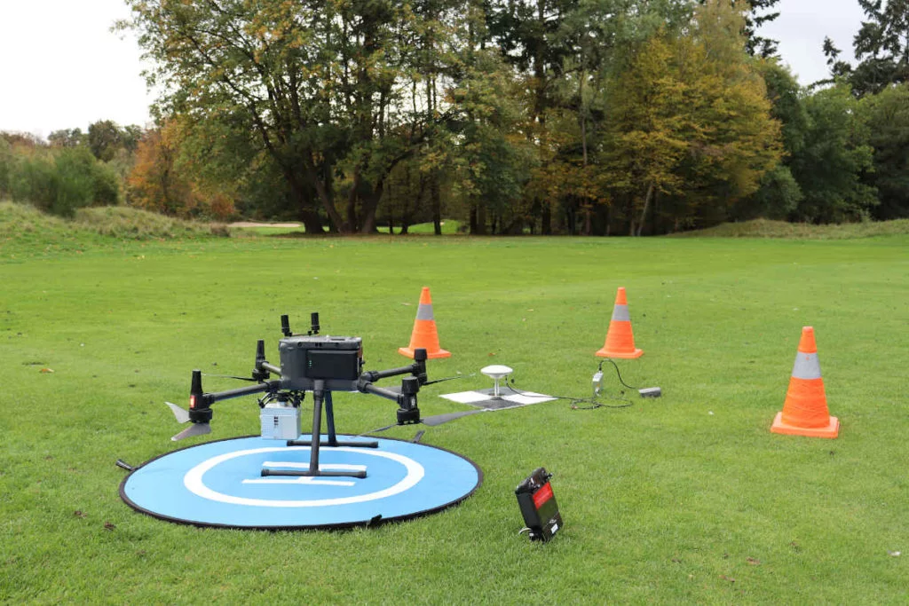
Drone LiDAR ready for takeoff
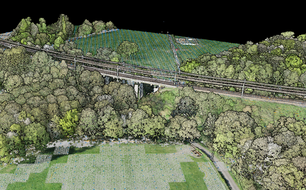
Airborne LiDAR
Mounted on aircraft or drones, airborne LiDAR captures large areas efficiently. It’s ideal for topographic mapping, forestry surveys, and infrastructure planning. Drones have made airborne LiDAR accessible for smaller projects, while manned aircraft handle regional surveys.
Terrestrial LiDAR
Ground-based scanners capture extremely detailed data from fixed positions. Commonly used for building documentation, construction monitoring, and engineering surveys. These systems produce very dense point clouds but cover limited areas.
Dense urban point cloud from ground-based scanning
Highway corridor captured by mobile LiDAR
Mobile LiDAR
Mounted on vehicles, mobile LiDAR captures data while moving. Perfect for road surveys, utility corridor mapping, and urban documentation. Combines the efficiency of vehicle-based collection with high-density scanning.
What Makes LiDAR Special?
LiDAR offers unique advantages over other mapping technologies:
From Point Cloud to Useful Products
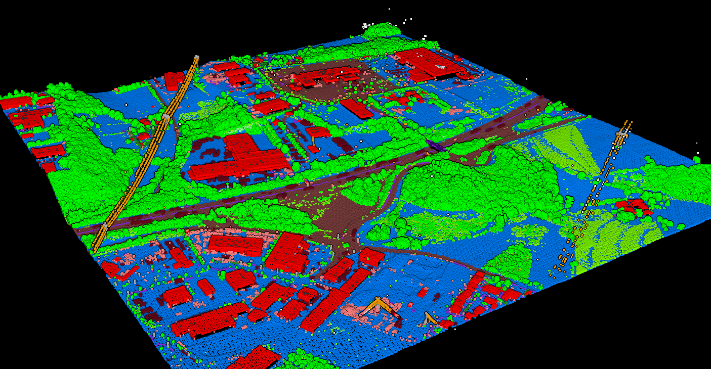
Raw point clouds require processing to become actionable deliverables. The first step is classification: identifying what each point represents (ground, vegetation, buildings, power lines, etc.). Classified point clouds can then generate:
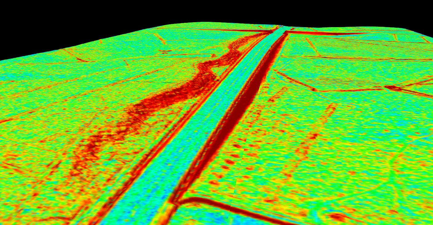
- Digital Terrain Models (DTM): Bare-earth elevation surfaces
- Digital Surface Models (DSM): Elevation including objects like buildings and trees
- Contour Lines: Topographic lines for engineering and mapping
- 3D Models: Building footprints, tree inventories, infrastructure documentation
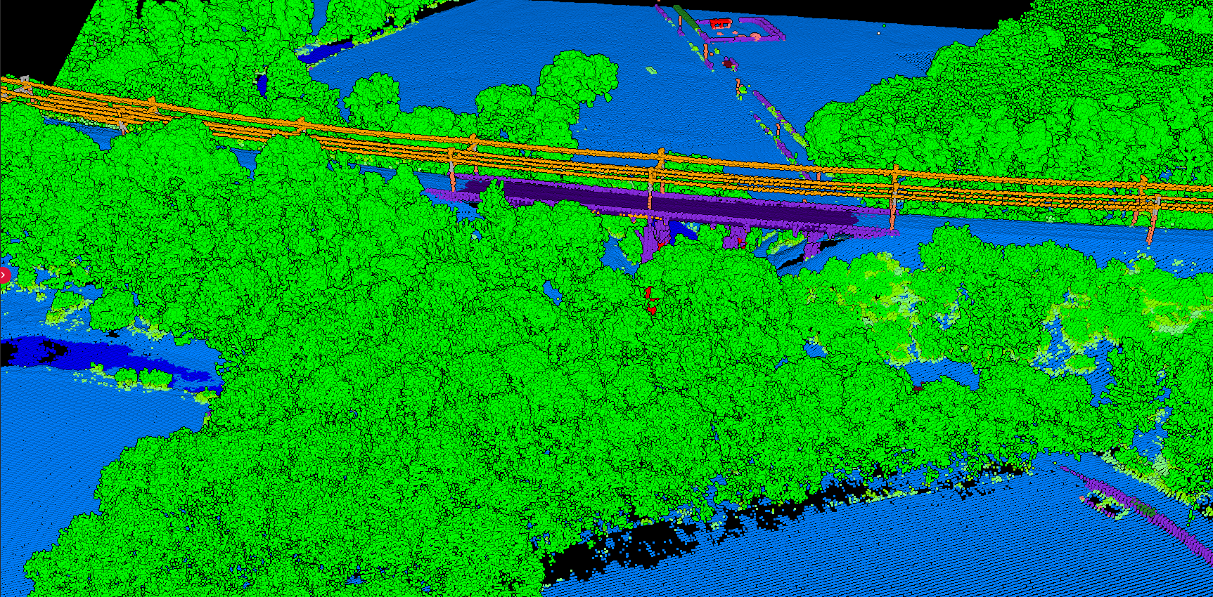
Classified point cloud showing ground, vegetation, and buildings
Common LiDAR Applications
Related Articles
Start Processing LiDAR Data Today
Whether you’ve collected your own LiDAR data or downloaded free datasets from sources like USGS or OpenTopography, you can start processing immediately. Upload your point cloud, and within minutes you’ll have classified data, terrain models, and contours ready for your project.
Understanding how LiDAR works is the foundation. Now turn those millions of points into actionable insights.