Logo Lidarvisor
  • Features
    • Point Cloud Viewer
    • Point Cloud Classification
    • Point Cloud Vectorization
  • FAQ
  • Contact
  • Pricing
Log inTry for free
Logo Lidarvisor

Creating a Comprehensive Topographic Map from Aerial LiDAR Data

Lidarvisor - Airborne Lidar

Airborne LiDAR: A Revolution in Spatial Data Acquisition

Lidarvisor - Point Cloud with Electric Line and Solar Panel - RGB

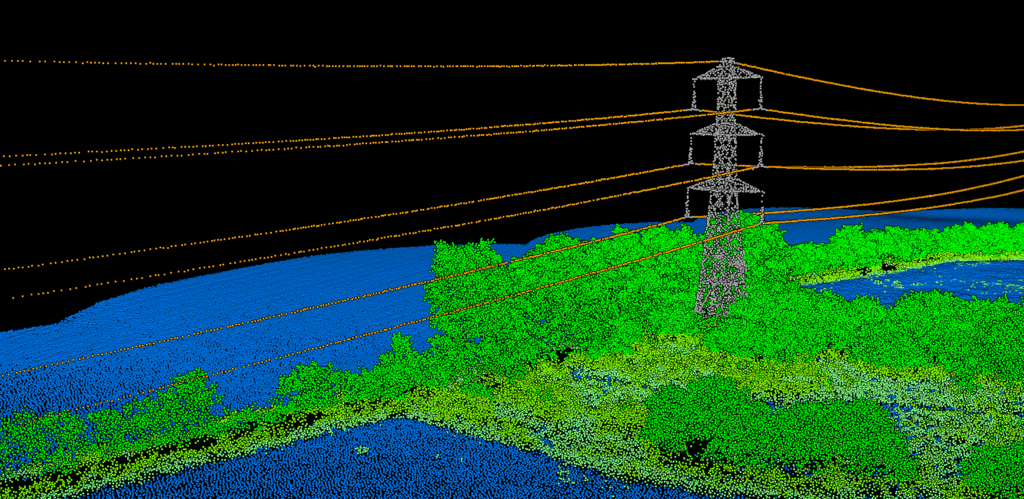
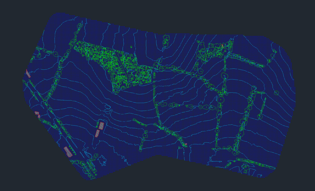
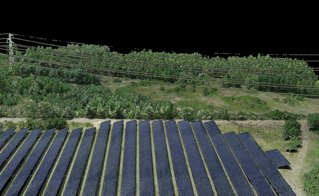
The Significance of Classifying an Airborne Lidar Point Cloud in the Construction of Energy Infrastructure

Logo Lidarvisor
Navigation
  • Contact
  • FAQ
  • Pricing
  • Terms of service
Contact
102 Gold Ave SW, Albuquerque, NM 87102, USA
+1 505-484-2469
contact@lidarvisor.com
This website uses cookies to improve your experience. If you continue to use this site, you agree with it.