Classification and feature extraction
Main features
01
Classification
02
Feature extraction
03
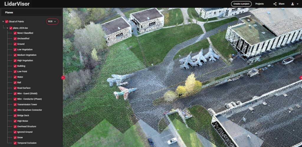
3D Viewer
04
Raster processing
05
Online processing
06
Topographic map
Classify your LAS Point Cloud
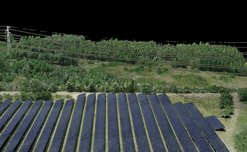
With the Lidarvisor platform, effortlessly classify your LAS-format point cloud. In just a single click, Lidarvisor segments your data into distinct classes: ground, vegetation, and buildings.
Online LiDAR data viewer
Create a free account and start viewing and processing your LAS Point Cloud
3D data Platform
How Our Platform Support Online 3D Data
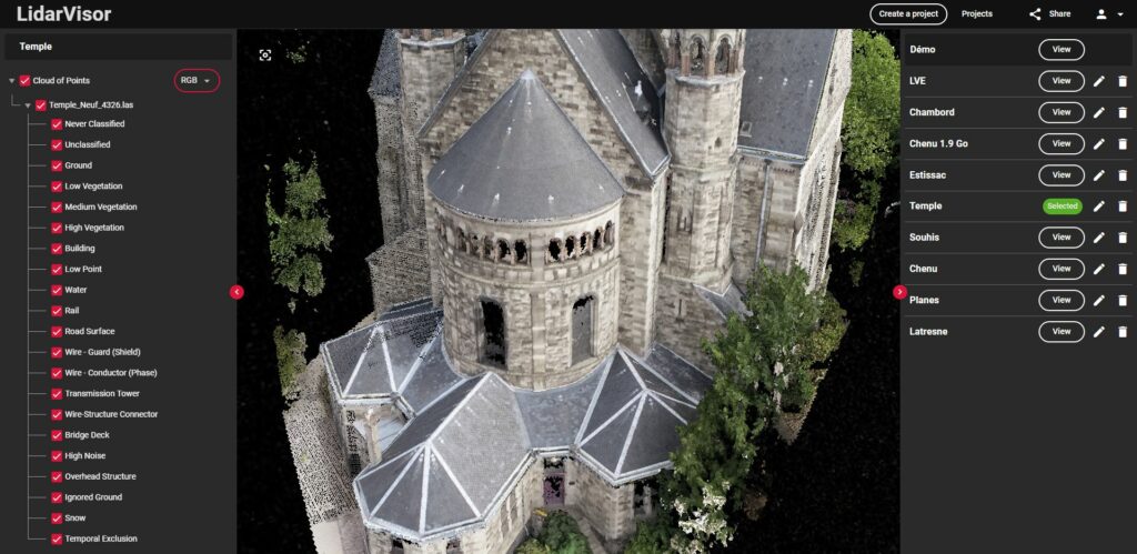
Powerful Point Cloud Viewer
Our streaming servers are optimized for viewing 3D data on the web.
Cloud Data Optimization
Your data is converted into a format adapted to the web allowing a fluid visualization without latency.
Create a free account and get 5 Go of storage
Create a project uploading your point cloud in LAS format then eventually upload your DTM and vector data.